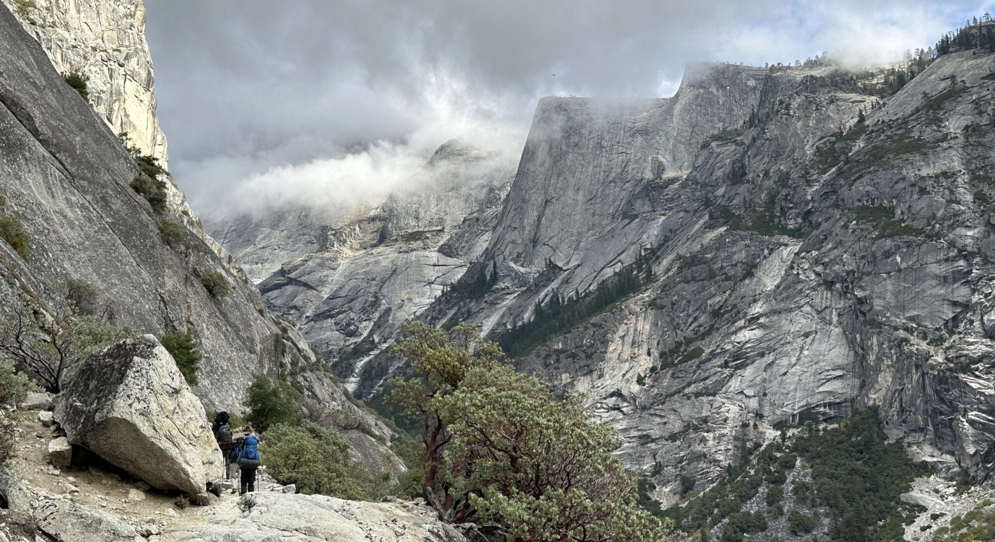
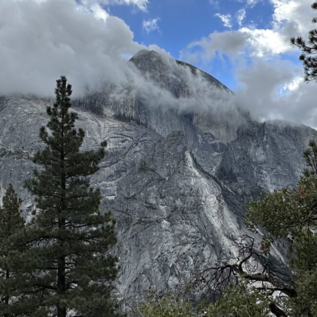
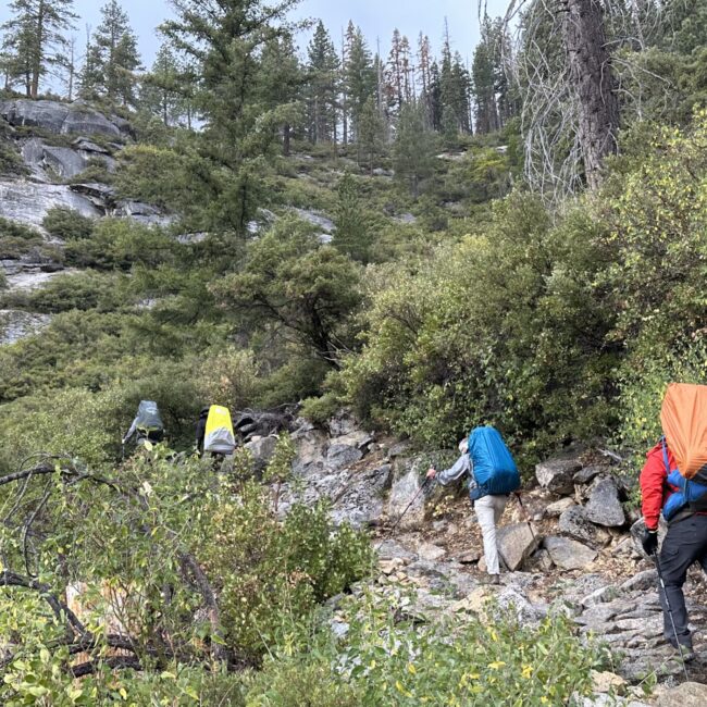
This is a classic Yosemite Valley 28 mile loop including 7600’ of climbing. The trail begins and ends at Happy Isle or the nearby bus stop. Half of the climbing is in the first 5 miles. If you are coming from the Bay Area, the trip can be accomplished in 3 days allowing time for travel to/from the Bay Area. In mid summer, if you are starting the morning in Yosemite Valley, this trip can be accomplished in 2 days.
| Trail Details | Features |
|---|---|
|
Distance: Elevation Gain: Duration: Difficulty: Overall: |
If you are looking to explore wilderness, this hike maybe a bit close to the 4 million annual Yosemite Valley visitors for your liking. They are all competing for permits, parking spaces, campsites and solitude. But don’t get me wrong, Yosemite Valley is a world treasure. IMHO, all of us need to experience its offerings in our lifetime .. and there are many.
But as I suggested, parking in the valley is tough. One of our team members had to wait 20 minutes for a spot to free up in Curry Village on a weekend in October. Snow Creek is one of the less popular permits leading from the Valley. However, gaining any permit during the summer season is incredibly difficult.Another downside is that the final leg of the John Muir Trail between the Merced River and Happy Isle is paved. After descending nearly 6000ft that day, many in our team started to wobble 🙂
Let me state I thoroughly enjoyed this hike. I feel I’m over emphasizing the “pains”.
There is certainly a couple of different ways to tackle this trail. If you lucky enough to get a campsite in the valley, you could complete these 28 miles in 2 days. But, I really don’t recommend it. Doing this in 2 days would forgo spending time at Tenaya Lake, or hanging out at the peak of Cloud’s Rest. Both are incredibly rewarding experiences. I won’t discuss on how to get a campsite in the Valley in this article. That is a bit of an art form. In any case, I recommend doing this in a 3 day outing.
What I was looking for was an extended weekend hiking trip with a group of friends. We are based in the Bay Area. With this as a criteria, the western slopes of the Central Sierras is a primary target. And wouldn’t you know it, Yosemite National Park (YNP) is right in the middle of this target area.
YNP (valley), is 4 hrs from the Bay Area. With an early departure and I expected late afternoon trail exit, this hike fits into perfectly into our criteria. Day 1 would be involve an afternoon hike. Day 2 would be a full day on the trail. Day 3 would conclude late in the afternoon allowing enough time to return to the Bay Area.
Another thing you should consider is when is the ideal time of the year for a Yosemite Valley based hike. I really think each season has it merits. May/June the waterfalls are raging but the mosquitos are out. July/August is wonderful time for an alpine swim (take care not to swim near waterfalls) and comfortable star gazing. Sept/Oct offers more solitude and great day time temperatures.
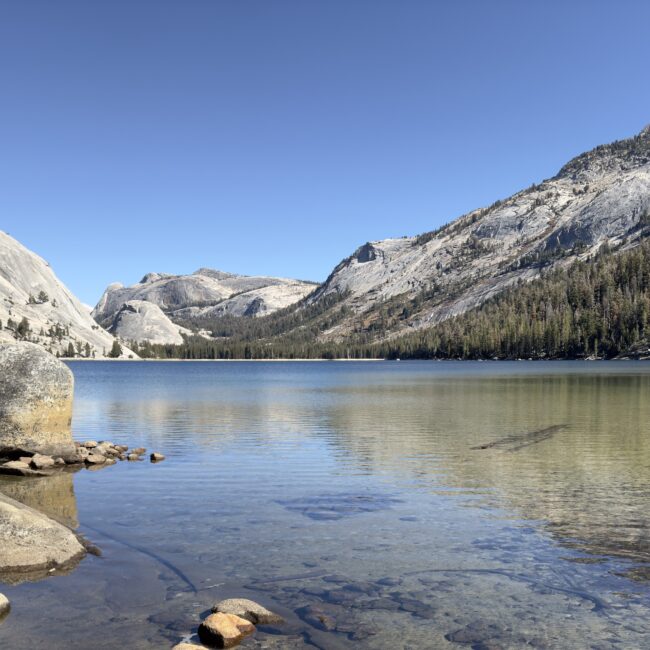
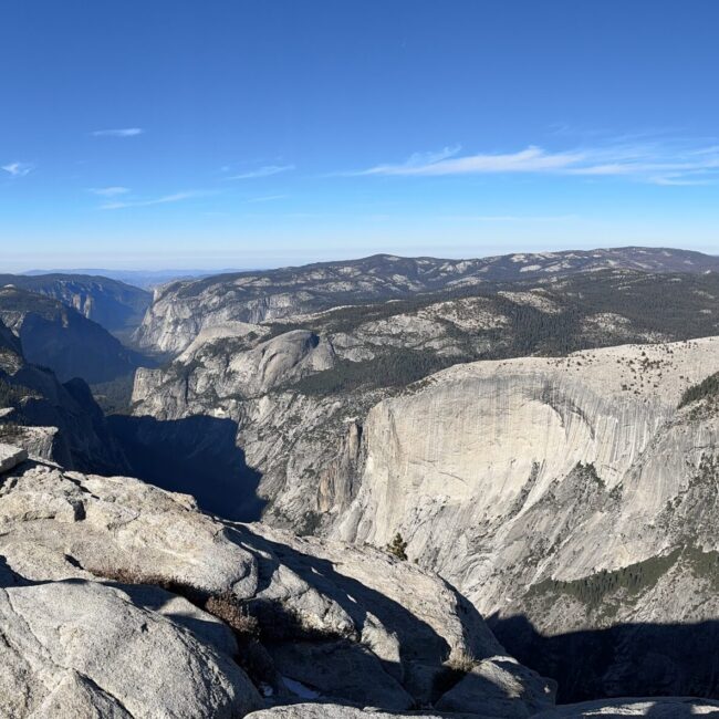
We hiked in the 2nd weekend of October. With the threat of snowfall on the Tioga Pass, they closed CA 120. To our delight, Tenaya Lake was completely deserted – a truly blissful experience. Also we spent 30 minutes at the top of Cloud’s Rest – all to ourselves. Again, a unique experience for YNP. All this is to say, I recommend experiencing YNP in October!
Since getting a permit on Mirror Lake to Snow Creek is far easier than getting a Happy Isles to Little Yosemite Valley permit, I’d recommend hiking this route clockwise. I suppose if you wanted to do this the other way around, logistically you would conclude you would need to climb Clouds Rest on the first day. That’s 6000ft above the valley floor. I’d go with the clockwise suggestion 🙂
YNP has a regulation that you are not allowed to camp within 4 miles of the valley floor. A few weeks after I registered for the permit on recreation.gov and entering that my first night camp was to be at Snow Creek, I received an email titled ACTION REQUIRED indicating that I needed to be very specific about my first night’s campsite. The Wilderness Center wanted to be sure that we had no intention of camping where the trail crosses Snow Creek at roughly Mile 3.
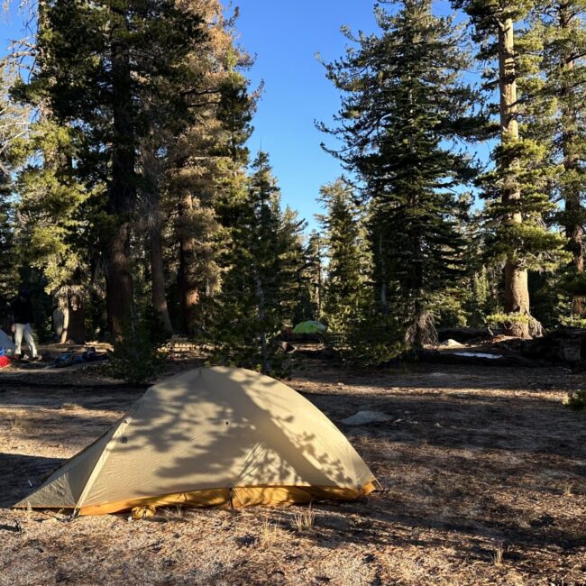
As I would learn later, this was tempting because the ground is flat and clear in this area, and Snow Creek reliable year-round water source. Furthermore, the next logical spot, 1.5 miles up the trail along a tributary, the Ranger said that they could not guarantee water. With that we had we had to stock up our water. We camped 1.5 miles up the trail where the trail bifurcates with the northern trail leading to May Lake and the eastern trail, in which we took, leads to Olmsted Point. In the morning we thought there was an area about .2 miles up trail that was equally as good.
There are some options for the 2nd night’s camp. However, almost all of the options involve packing your water for the evening and the morning. There is a year round water source, in a several acre pond/lake 1 mile from the Sun Rise lake intersection. Once you stocked up there you could camp at the intersection of the JMT connector (Forsyth Trail) and the Clouds Rest Trail. Given the shorter October days and the leisurely time we spent at Tenaya Lake, and some wind exposure concerns, we opted to stay there. Another option would be to continue .6 miles up the trail until you get to a saddle point just before the final climb up Clouds Rest. Although this spot would be exposed to the winds, it offers incredible views.
After previewing the trail and considering time of year, I can’t say this is a super technical hike. The major river crossing (Snow Creek) has a bridge. However, like most hikes there are a few things to consider: (1) The last day involves a 6000 ft descent; (2) We were hiking in mid-October. Night temperatures were going to be in the low 20s with a chance of snow and rain at lower elevations; (3) There are no water sources at our campsites; (4) There is a 3700 ft climb on the first afternoon.
(1) That descent – It has taken me a few decades to learn this, but I would recommend conducting some exercises to strengthen your legs. I use the term legs generically because I don’t know exactly what part of my legs I’m strengthening. I suspect it is my quads and knee ligaments. In any case a month before this backpack, I will conducted a few day hikes including a 3000 ft climb of Mt Tallac in Lake Tahoe and some lengthy walks in a nearby park that had some mild elevation change. This little extra prep seemed to make difference. The descent was a breeze.
(2) Cold temps – I opted to spend some extra dollars for a puff jacket for the evenings. I slept with my base layer, liner and a 20’ sleeping bag, along with a beanie and socks. I was comfortable enough. It goes without saying, no matter what month you backpack, always carry rain gear. With certainty of us having rain, I brought a pair of rain pants to compliment my rain jacket.
(3) Water management – With no water at both our first and second night campsites, I did a little math beforehand estimating my water needs: dinner+cleaning 32oz, brush teeth cleaning 2*6oz. breakfast + cleaning 32oz, Morning hike 26 oz. Total Estimate: 102 oz. I ended up filling my two 26oz water bottles and a 96 oz pouch, which predictably included some extra. My estimates were pretty close.
One more note on water: If you are filtering your water and the evening temps are dropping into the 20s, you might want to bring your filter inside your tent for the night.
(4) 3700 ft climb on the first afternoon – I’m not immune to the affects of altitude. I’d say it’s noticeable at 5000 ft and above. This topic really deserves a complete blog. In any case, for the Sierras, this climb is at a lower elevation and the grade is very manageable. Having a steady weekly excercise routine a month before this hike would be advised. For me this involves, a 25+ mile bike ride, an anaerobic workout and a hockey game or two.
Gaining permits in YNP really deserves its own blog exploring techniques and experiences. The NPS site warns us that 60% of the trail permits will become available 24 weeks in advance. Any reservations that remain will first come first serve after the lottery. As I’m writing this, I don’t have a huge smile on my face, but as I wrote elsewhere on this page, with 4 million visitors/year, a system needs to be I place. It seems it is well thought out.
I don’t know if I got lucky with a cancellation but I found permits available 6 weeks before mid-October date for the Snow Creek trail. I suspect the climb out of the valley at this time of the year, deters the masses as well. Fine by me!
The quota page informs us that 15 permits are reserveable (through lottery) for Mirror Lake to Snow Creek trail. From there you need to go to Recreation.gov to lottery/reserve that trail. For the first night camp, I entered “Snow Creek” (I believe it was a pull down option) which turned out was not sufficient for the permit granting. A few weeks later the Wilderness Center sent me an email to clarify that we intended to stay beyond the 4 mile distance beyond the valley floor. I responded by email & called to clarify exactly where we intended to camp on the first night. More detail on this is in the Campsite tab.
Once I go through the lottery process, I’ll create a separate blog. As a quick summary, recreation.gov has a separate workflow for the lottery and it seems straightforward enough.
A few pieces of advice here:
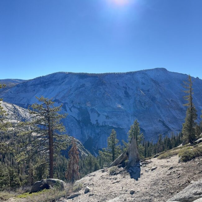
(1) I’m a big fan of Olmsted Point. I can’t think of a time when I didn’t stop there traveling over Tioga Pass. Wisely, the trail makers routed the path just below this tourist destination. We decided to save our break time for Tenaya Lake. If you haven’t stopped there before, leave the trail and climb up to that stop and take in the views of Tenaya Lake and Clouds Rest. Otherwise, the trail allows you to avoid the masses.
(2) Take some time to hike to Tenaya Lake shoreline. It’s only a few hundred yards away from the trail, but don’t miss this experience. For us, it was a delightful lunch stop. If it’s a summer day, go for a dip. Regardless of the season, imho, we live for these experiences. Don’t pass it by.
(3) I’m not an incredible athlete by any stretch. From that perspective, I can say the grade and pace of the 3700′ climb out of the valley did not require any superhuman abilities. However, I find the lighter the pack, the easier it is! 10 years ago, I would aim for a pack weight of 40 lbs. Now it’s 30lbs. On this hike, at the onset my pack was 27lbs and that climb passed by fairly easily.
Trip Summary: Clouds Rest
Jens, Olaf, Dick, Jim & Jason Oct 22-24, 2022 The following is a summary of our personal experience on the trail. If you are interested
Homemade Chili
Dehydrated Homemade Chili I wanted to share my recipe for a backpacking staple: Dehydrated Homemade Chili. With the fall temperatures approaching, there is nothing more
Fall Hiking In Yosemite
Thoughts On An Upcoming Hike A fall backpack. Good friends, crisp weather and quiet trails. I do enjoy the thought of this. Five of us
