| Trail Details | Features |
|---|---|
|
Distance: Elevation Gain: Duration: Difficulty: Overall: |
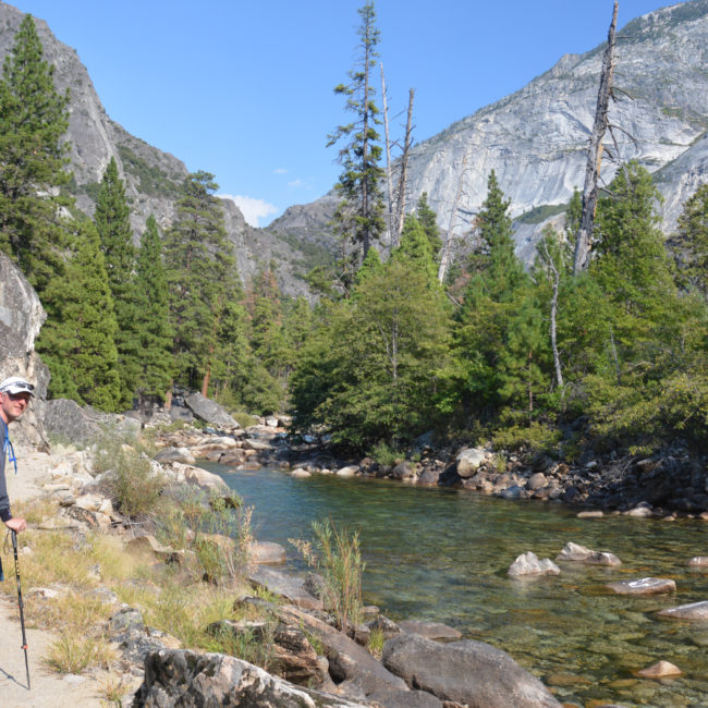
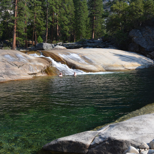
There is so much to enjoy about this hike: Magnificent glaciated valleys, sublime lakes, mind boggling waterfalls, mountain passes, the “Riviera of the Sierras”, river swims … there is so much here. I could easily argue that this stretch of landscape surpasses many sections of the JMT. With all this, there is far less people than the JMT itself and getting permits is much easier.
Besides the trail, this offers a jump-off spot to explore Bridgeport and the stretch of the HWY-395 north of Lee Vining. You can easily include a side trip to Mono Lake, the town of Bridgeport and camping at Twin Lakes.
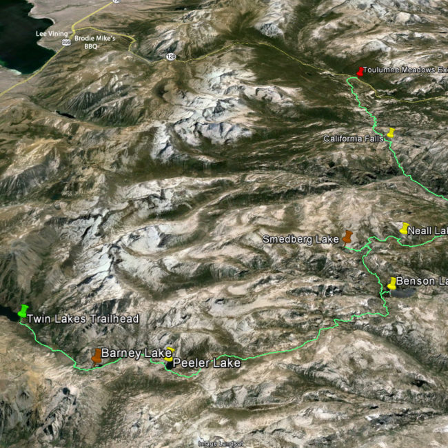
This is a one way hike. You should have two cars, leaving one at each trail head. Traveling from one trail head to another is a 60 mile drive. At the onset of this excursion, this will add an extra day to your itinerary. However, taking this extra time does give you some time to explore the region which is a hidden joy.
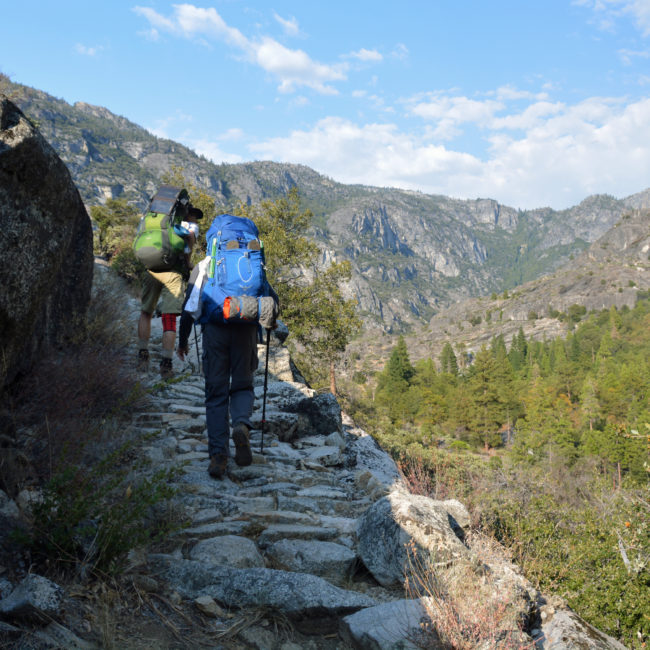
I did find hiking down to Pate Valley (Tuolumne River) to be a tough 10 mile decent. It’s 5000ft in total with no water stops beyond the first mile or so. We hiked it on a hot September day and once I arrived at the river I found I was quiet dehydrated.
If you have two cars, the logistics here are straight forward: Leave a car at both trailheads and camp the first night at the trailhead. Get your permit online and away you go.
If you don’t have two cars you’ll need to get a shuttle service. There’s not a lot based in Bridgeport. This is what I found on the web when I wrote this article in 2022.
You also may want to make use of the public transit that can take from Tuolumne to Bridgeport:
There are plenty of camp sites near Twin Lakes including Robinson Creek, Paha, Crags, Twin Lakes and Mono Village. I did a last minute booking at Robinson Creek in the first week of September. Try doing that in Tuolumne Meadows!
I have some strong recommendations on the first two campsites. The next three have some variations based on your pace.
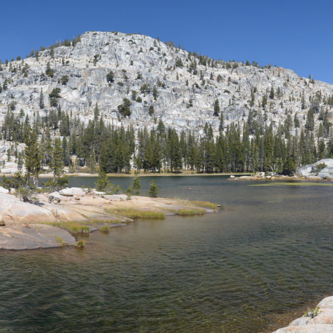
Campsite One: Peeler Lake. The lake is 7.5 miles from the trailhead with a 2600 ft elevation gain. The trailhead is at 7100n ft, so I found this 7.5 miles, along with a full backpack is just about right for the first day. Absolutely a gorgeous lake. Sublime mornings. Go for a swim.
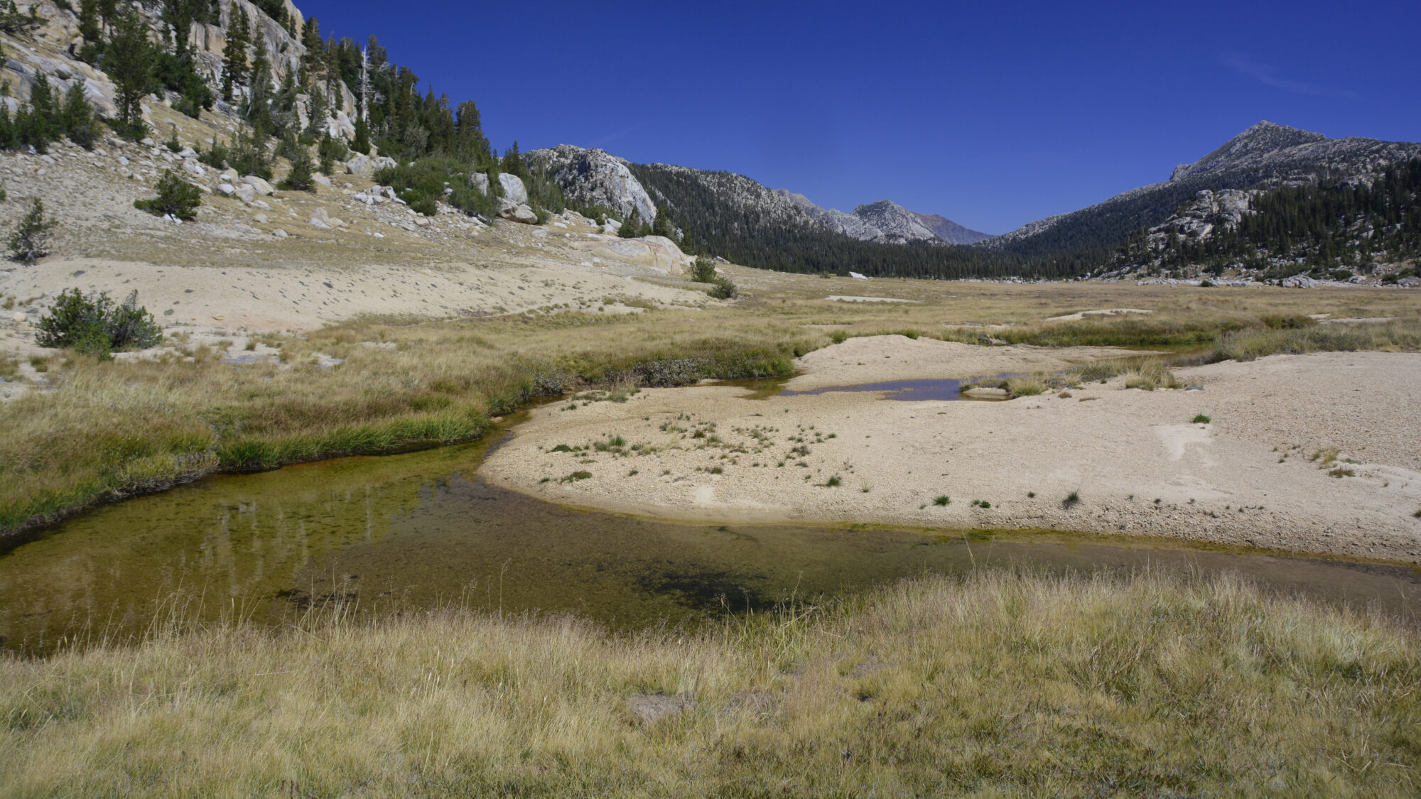
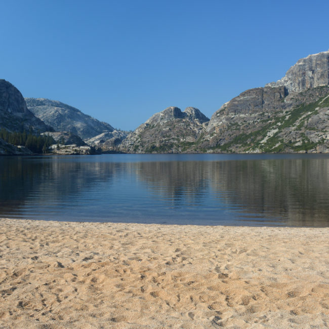
Campsite Two: Benson Lake. This lake is 10.5 miles beyond Peeler as is a unique landscape in the the Sierra Nevadas. There is a huge crescent shaped beach surrounding the eastern shore of the lake. At this end, the lake is quiet shallow which warms easily making ideal of an alpine dip. It’s commonly referred to as the Riviera of the Sierras, for good reason. Go there!
Campsite Three: Neall Lake We choose to camp here since we still had some good daylight left after going over pass below Volunteer Peak. Stopping a little before at Rodgers Lake is a good option too. After Neall Lake it’s a 10 mile, 7000 ft descent into the Pate Valley. I don’t recommend going further.
Campsite Four: Somewhere on the Tuolumne River I didn’t track the exact location where we camped that night. In September there are many pools suitable for swimming. Take your pick. After the long decent it was incredibly refreshing.
Campsite Five: Somewhere below Glen Aulin Again, this will depend on your pace. However, there are ample opportunities to camp as you make your way up the numerous waterfalls. I do recommend camping before the crowds at Glen Aulin High Sierra Camp. From there it is a half day to the Tuolumne trail exit.
Physical Preparation: I am writing this summary a few years after we completed this hike. Each year, I put a greater emphasis on physical preparedness and lowering my pack weight. In 2015 I would play hockey twice a week and spend a couple hour sessions on a stationary bike. Actually, it was an AMT which helped me strengthen my quads which my knees appreciated. Since this time, I have found this wasn’t sufficient. As hikes, go, this one isn’t an absolute killer. It’s 11k of elevation gain over 5 days. On average, ~2k of elevation gain/day is a pretty comfortable hike. However, I did struggle climbing up the Tuolumne Canyon (~1500 ft) late in the afternoon. In general, I generally avoid big climbs late in the afternoon, but the timing of this seems to be unavoidable. Since that time I’ve added a couple of 2-5 hr bike rides leading up to the hike. This really seems to help my late afternoon endurance.
Trail Nutrition: Speaking of endurance, this was the last hike that I went on that I didn’t carry some form of electrolytes. I find late in the afternoon I get pretty drained. I’m sure a sports doctor or nutritionist could point out why. We are all quiet different so any recommendation comes with a grain of salt (pun). Lately, after lunch I’ve been mixing in Liquid IV with my water bottle and keeping a few of these GU gels handy. It makes a few huge difference on those late day pushes.
If there is one good reason to read this review, this is it. Finding a permit for this hike is a little tricky. To cut through it all, just follow the link and look for the Robinson Creek Permit.
What makes this tricky? This hike involves three different parks: Yosemite, Hoover Wilderness and the Humbolt-Toiybe National Forest. The later spans both California and Nevada is not a contiguous stretch of land – it is a patchwork of plots that are mostly in Nevada. The permit is issued by the Humbolt-Toiybe National Forest. Even on recreation.gov there is little information on what permit you need within Humbolt-Toiybe. It’s the Robinson Creek Trail. I image this bit of indirection deters a lot of would-be-hikers.
As far as I can tell quota for Robinson Creek Permit is 48 hikers/day. Other characteristics are fairly typical:
- Reserved permits are available to print at home within 7 days of the entry date.
- Permits purchase within 3 days of the entry date will be immediately available for printing at home.
- Quota is available from the June 15th through October 15th.
- Outside of this quota season; permits are self-issue or issued at the Bridgeport Ranger District office.
- Bridgeport Ranger District Phone: (760) 932-7070
Links to the Humboldt-Toiyabe National Forest and the Hoover Wilderness can be found below:
A few pieces of advice:
(1) Hike this N->S: Logistically, it’s much easier to get the permit entering from the north and it is much easier to secure a campsite at the northern trailhead. Also, you will want to experience the Tuolumne Canyon waterfalls heading up stream. That is, you’ll want to face them as you hike.
Rodgers Canyons Canyon (above and south of Pate Valley) is mostly dry and exposed. It’s 9.4 miles in total, perhaps half of that is a grind. I’d recommend tackling this on the downhill (N->S).
(2) Take this trip as an opportunity to explore Mono Lake, Lee Vining, Bridgeport and Twin Lakes. All of these stops have something to offer. It’s a wonderful part of the State. Make this trip an excuse to explore this area. I’d recommend to include two of these items on your itinerary.
(3) Make Benson Lake a base camp: There are several incredible options to consider – (i) climbing Volunteer Peek; (ii) exploring Smedberg Lake and (iii) hike to Sister Lake; (iv) take a lazy day to enjoy the Riviera.
Trip Summary: JMT Northern Extension
Jens, Walter & Jason September 5-10, 2015 A technical description of this trail can be found a the JMT Northern Extension Trail Page. Background: In
A Northern JMT Extension?
Beyond Tuolumne Meadows … Have you ever thought why does the JMT take this hard western turn at Tuolumne Meadows? Well the answer is obvious
