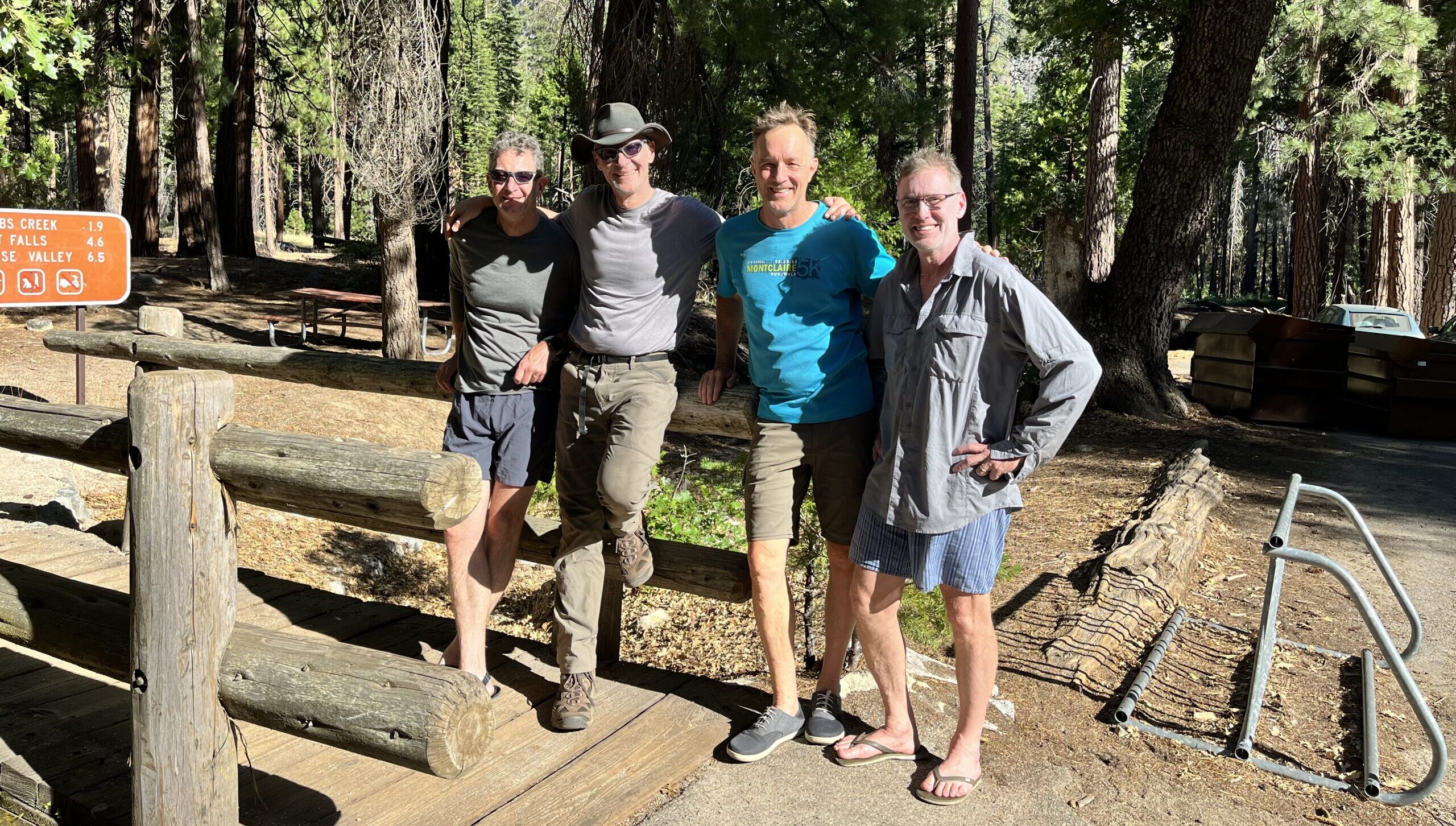
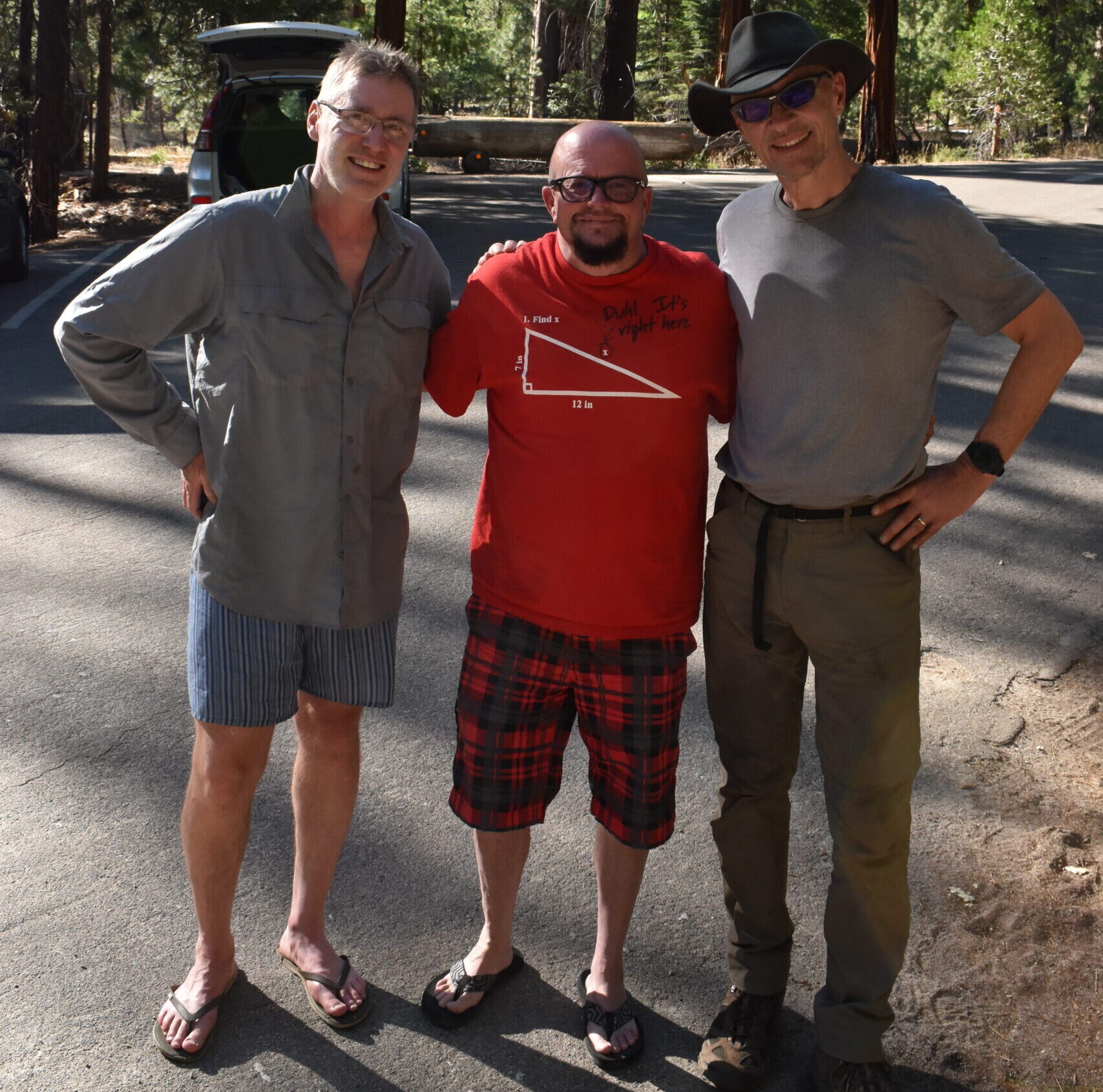
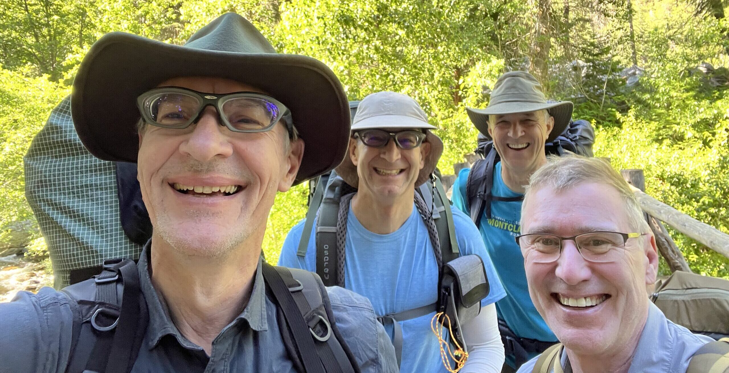
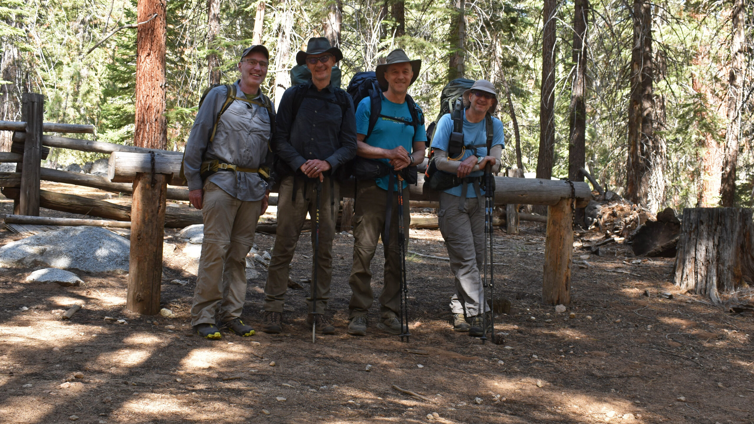
Jens, Olaf, Mark & Jason
June 25-29, 2022
A technical description of this trail can be found a the Sugar Loaf Traverse Trail Page.
Background:
So this was to be an epic hike. Jens and I have been tackling the JMT in segments. As our hikes have unfolded, there remains a 16 mile stretch that centers on Forrester Pass that we have yet to tackle. With those 16 miles as an objective, we thought we turn this into an all out adventure to include Avalanche Pass, Colby Pass, Forrester Pass before returning along Bubbs Creek to Roads End. As this description will disclose, our plans changed.
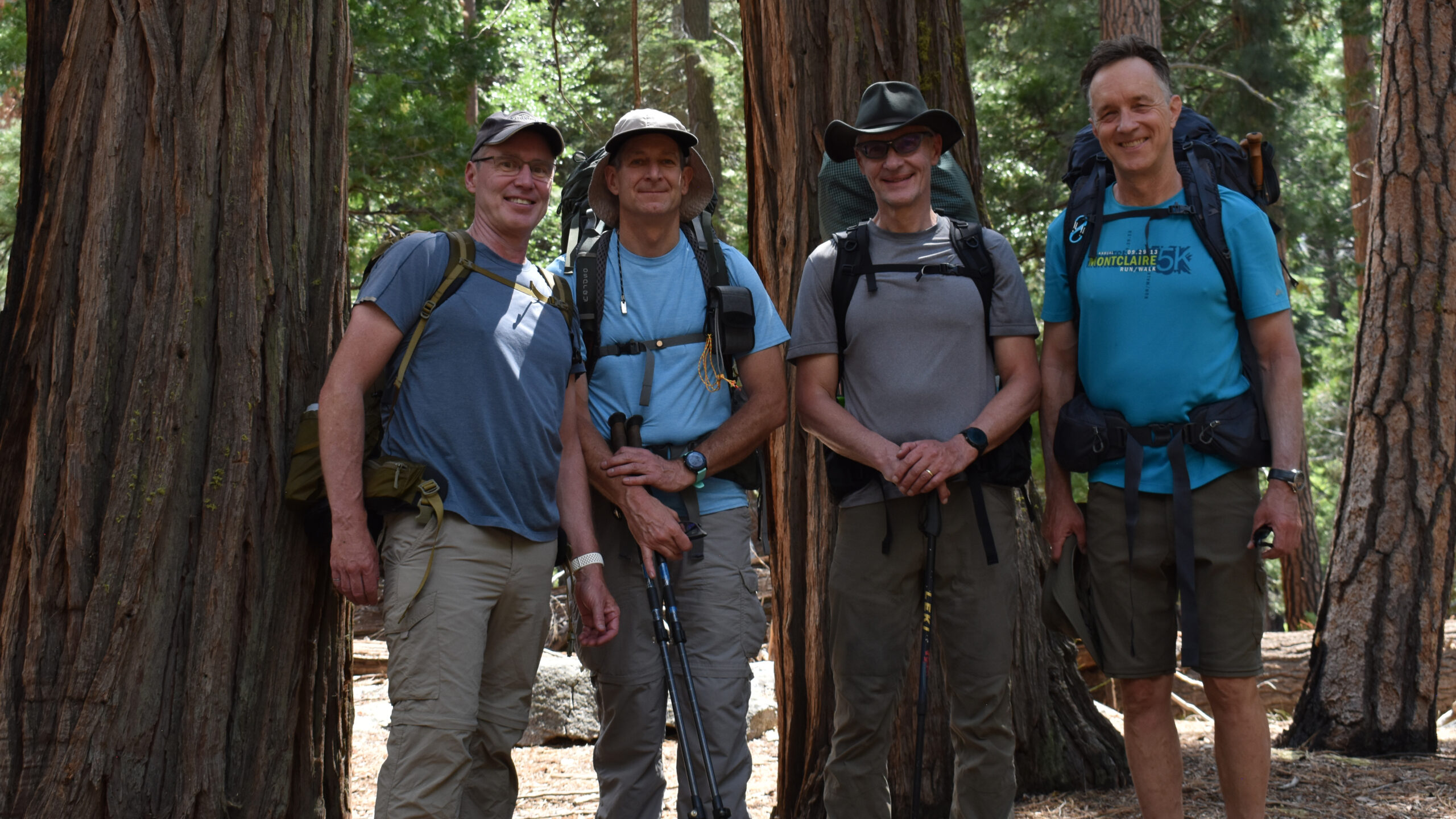
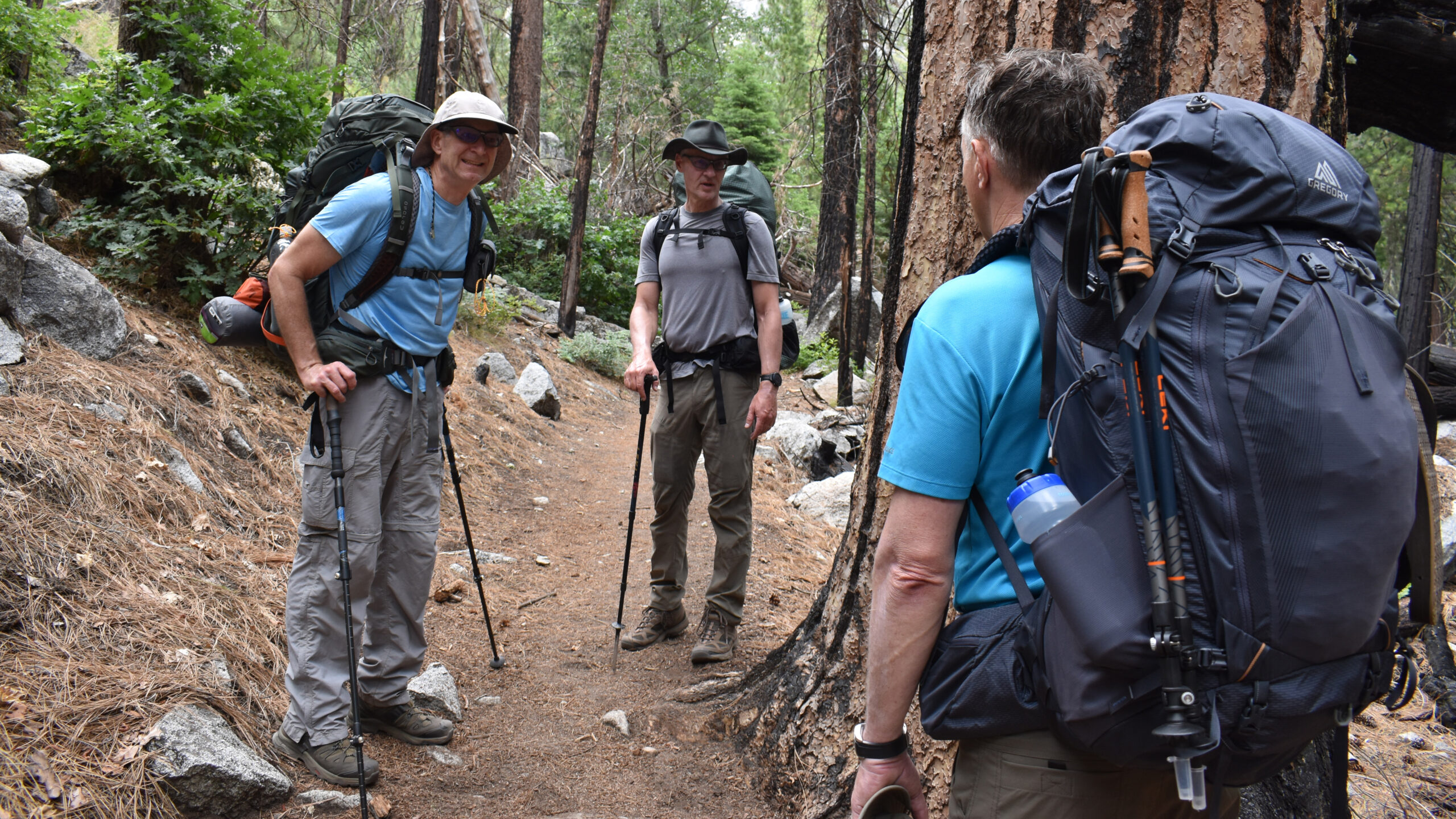
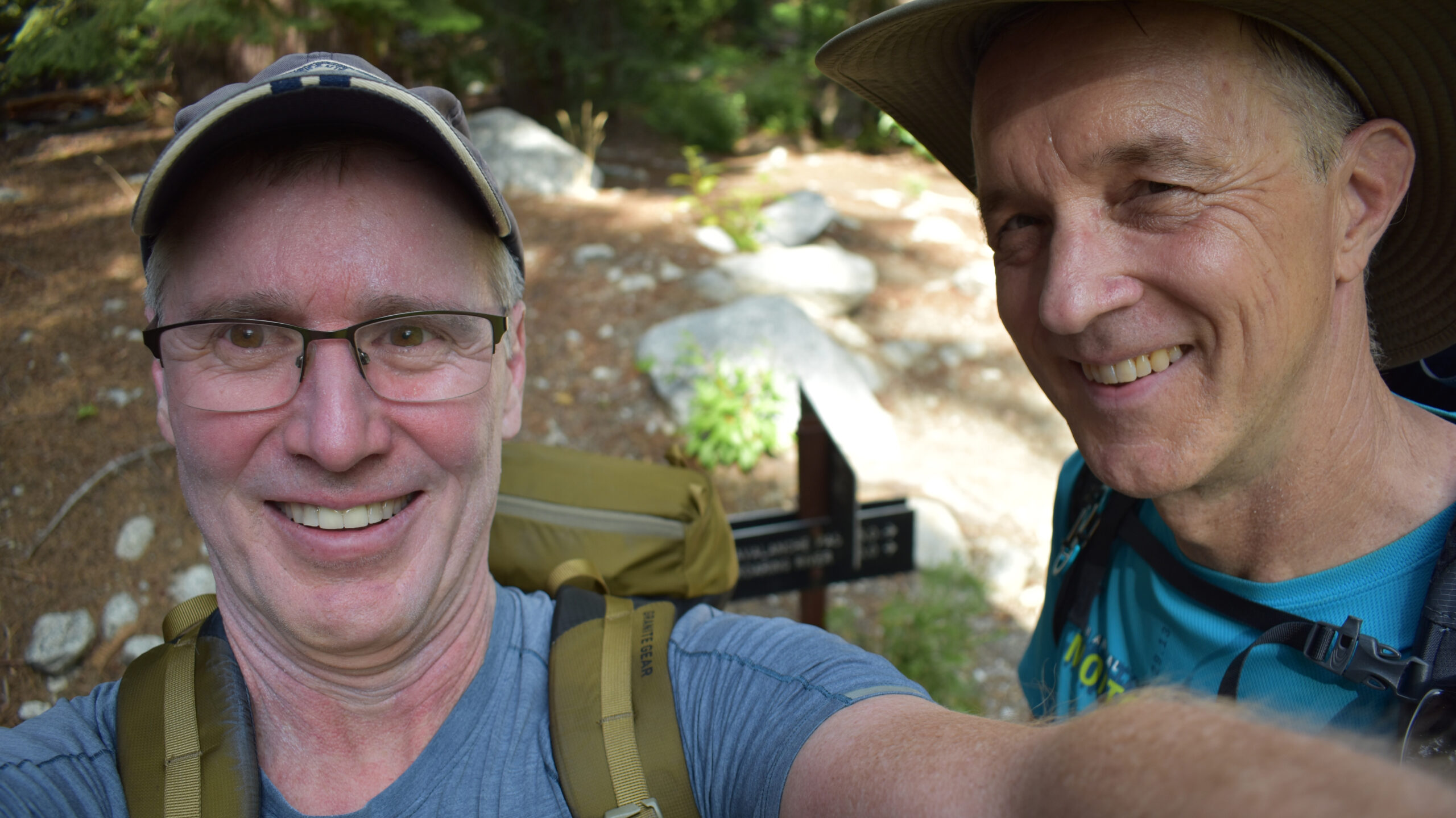
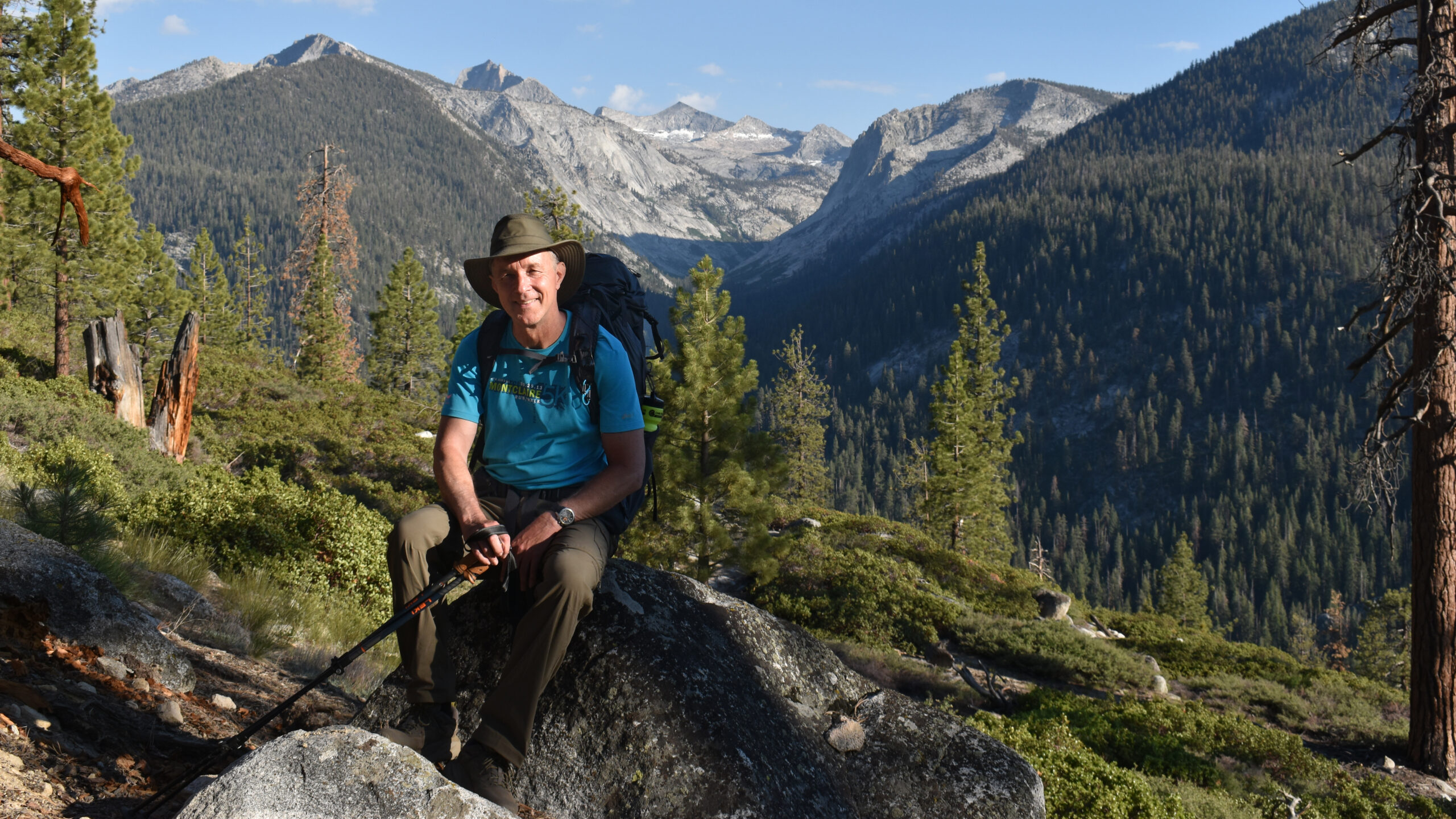
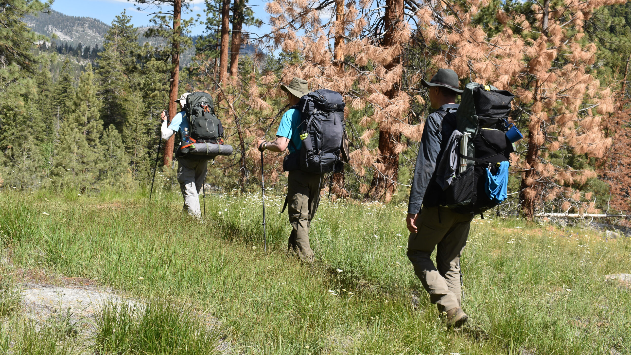
I had hiked with Olaf the previous fall in Wawona, Yosemite. He is certainly well conditioned and a thoughtful hiker. New to our hiking gang was my friend and neighbor Mark. Mark enjoys challenging day hikes, and is a pretty active cyclist, but in terms of hiking experience, this was his maiden voyage. We had talked though both the equipment and physical preparation. He was certainly ready for this. As for Jens, this would our 12th multi-day hike together. We had planned this hike for the previous year, but over the last decade he and I had swapped turns experiencing significant injuries, and last year was his turn. So now we were a team – Olaf, Mark, Jens and I. And we were ready to set off.
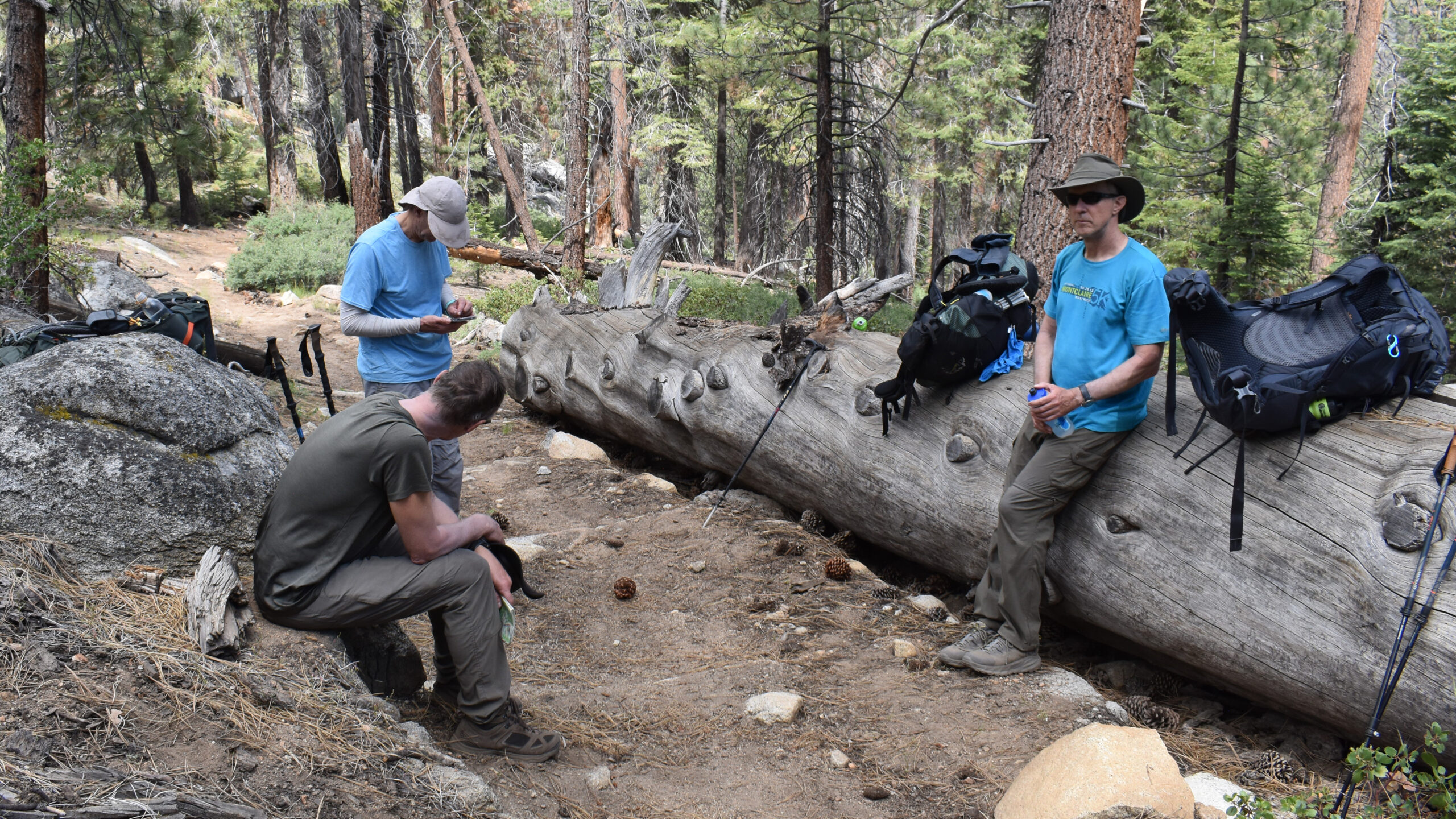
Day 1: Roads End
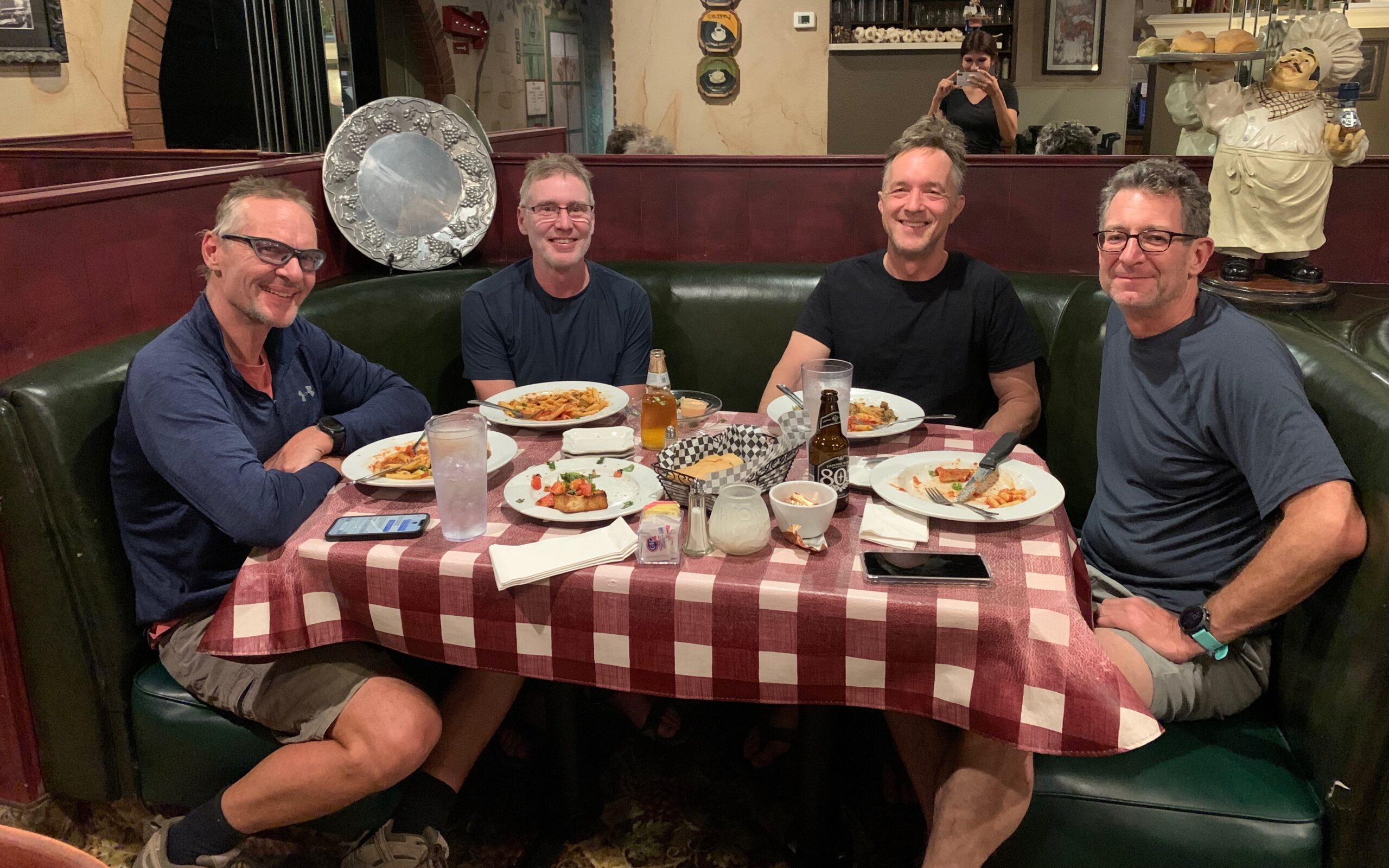
Before embarking on our hike we had a fine meal at the Twin Valley Restaurant. The restaurant is about 3 miles off the 180 hwy, and about 20 miles before Grant Grove Village. It had good reviews, but seemed a little plain before our grand adventure. In any case, we had our lunch and made our way to Kings Canyon and eventually to the Roads End Ranger Station. I still wonder if this stop in fact impacted our hike as you’ll read in the Day 3 summary. Our basic plan was to pick up our permits at midday and conduct a modest 4 miles with 1200 ft climb hike to get ourselves acclimatized.
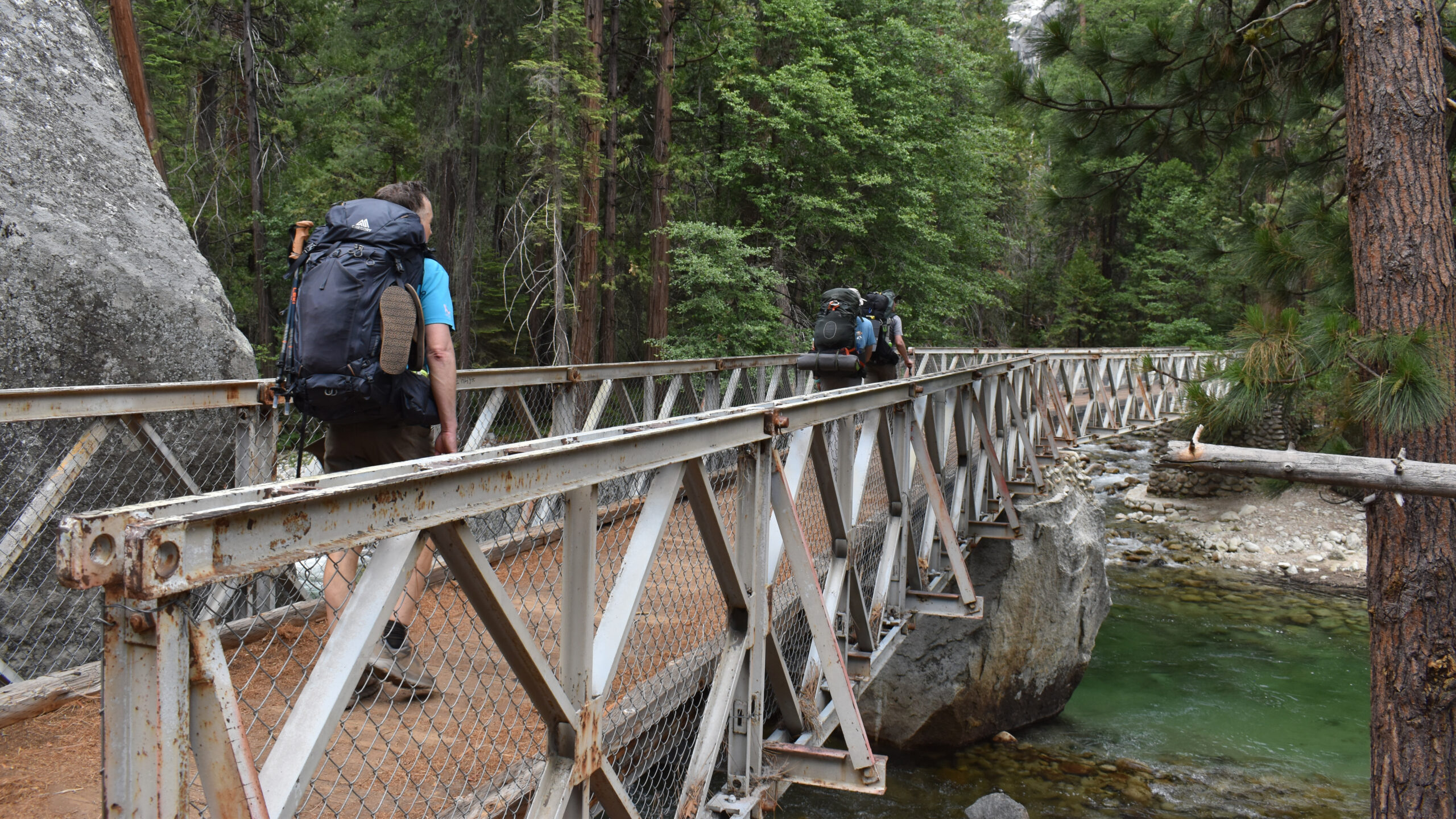
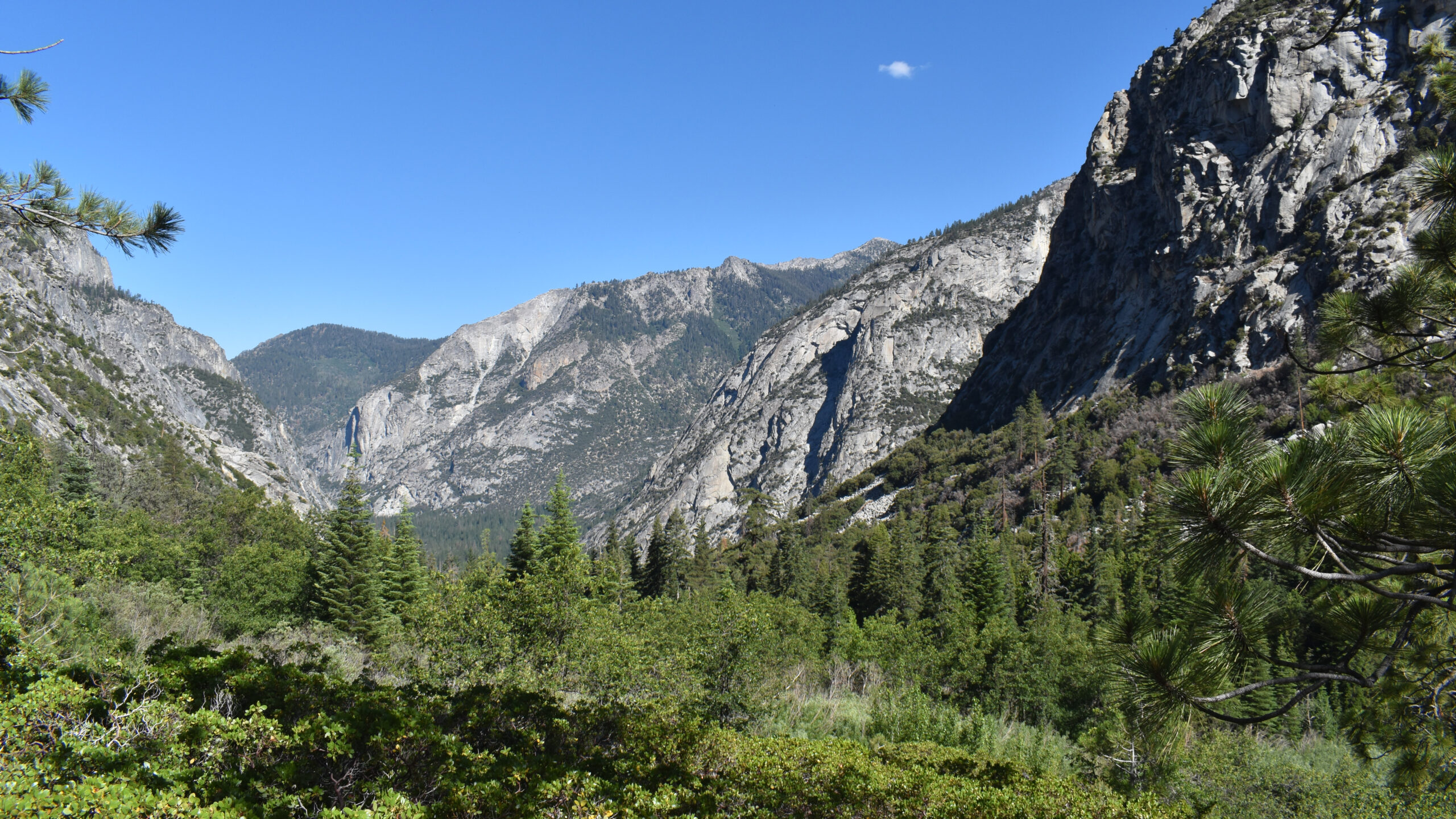
Kings Canyon has always been a favorite. The entrance evokes memories of the Grand Canyon with its sheer massiveness. By Roads End, the landscape turned into a beautiful forest of ponderosa pines, sequoias, ferns, and tall grasses. We had our obligatory lesson from the ranger, received our permit and set off.
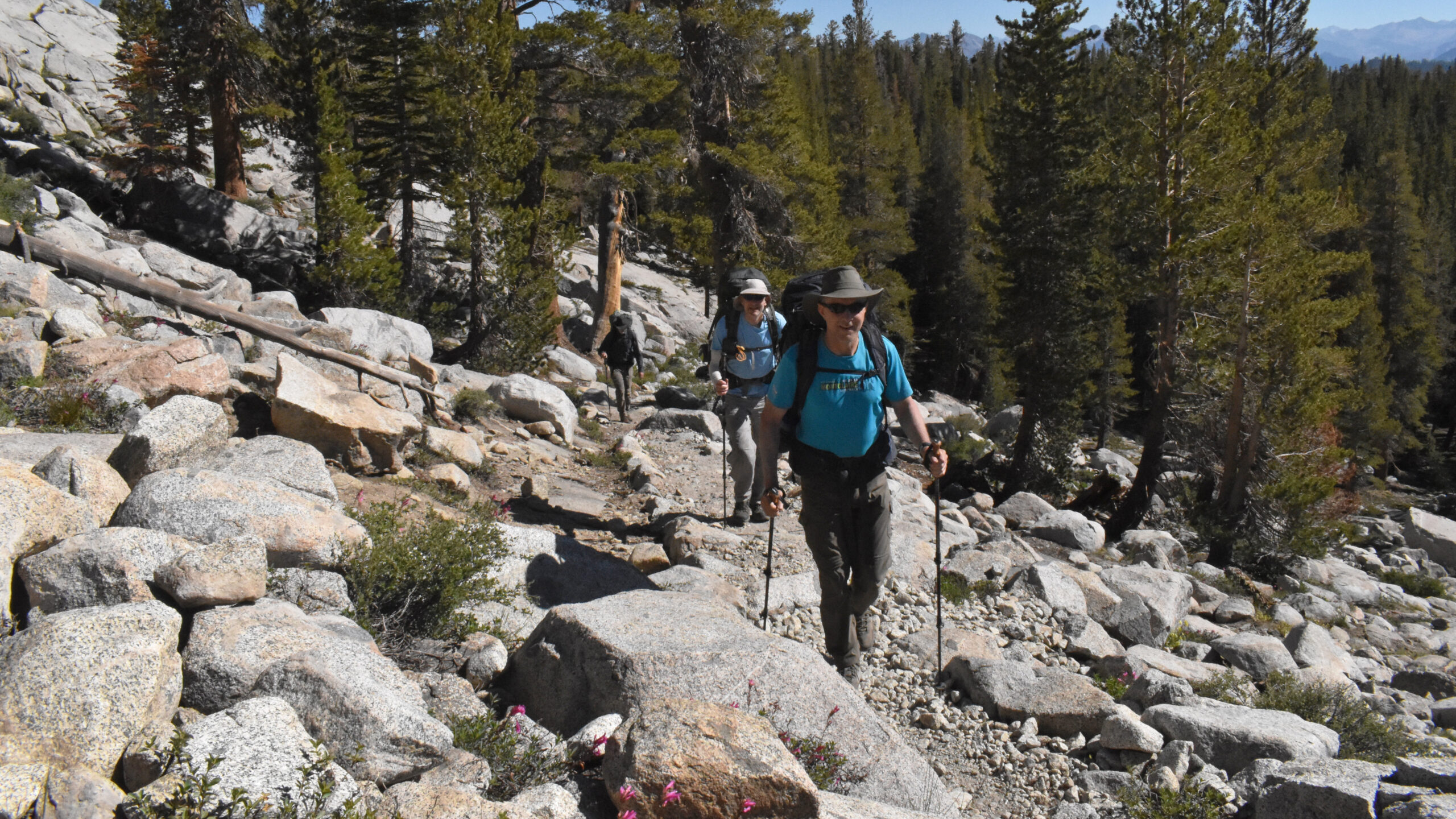
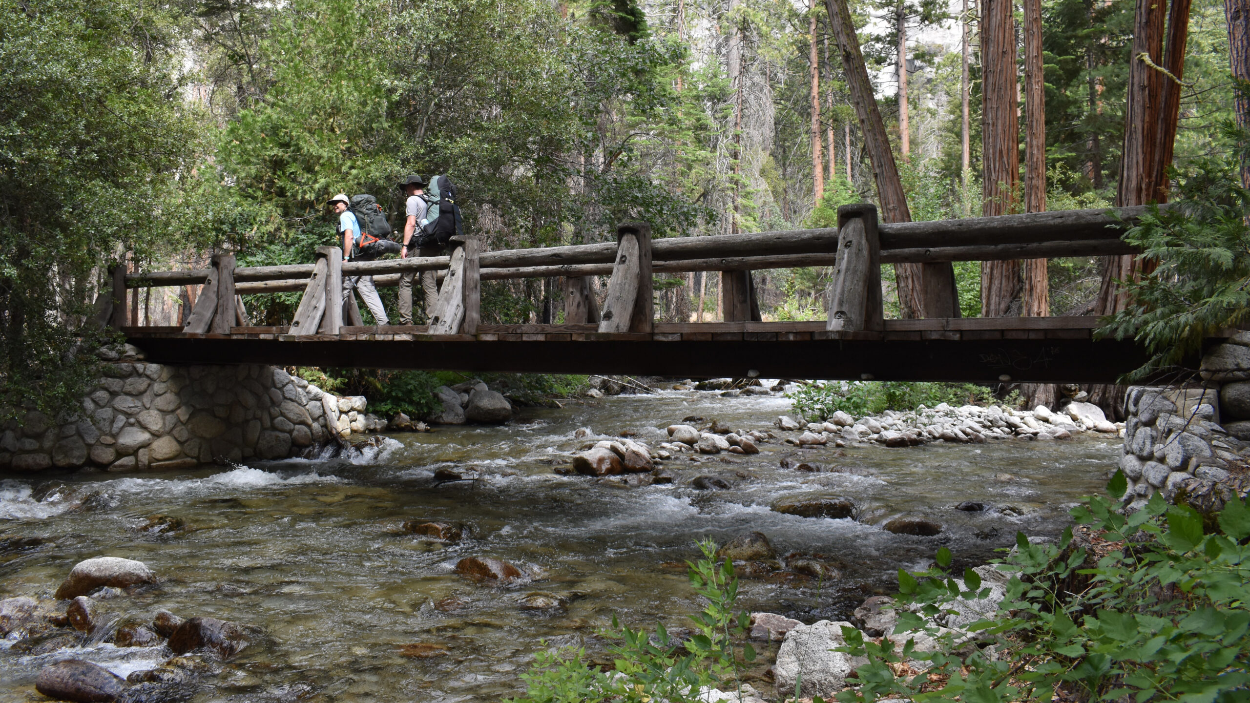
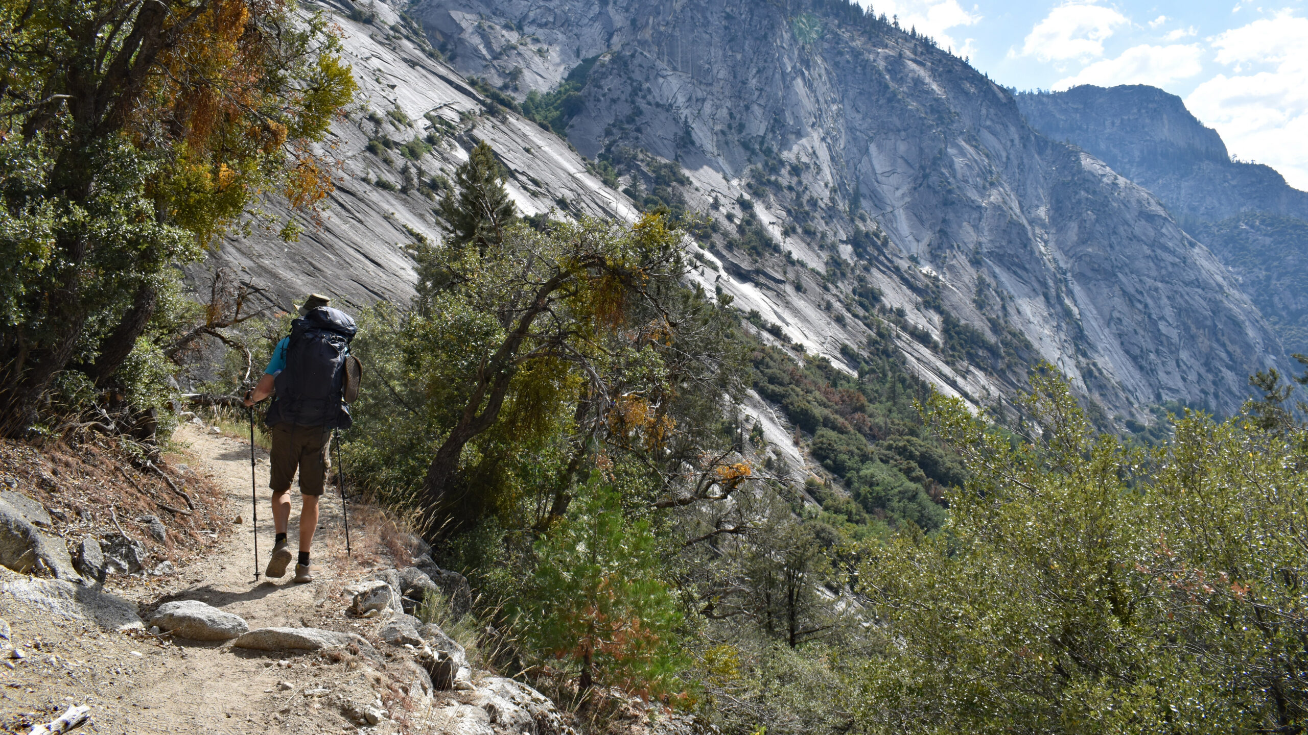
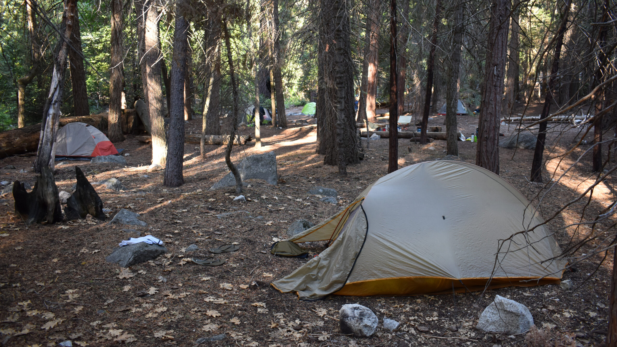
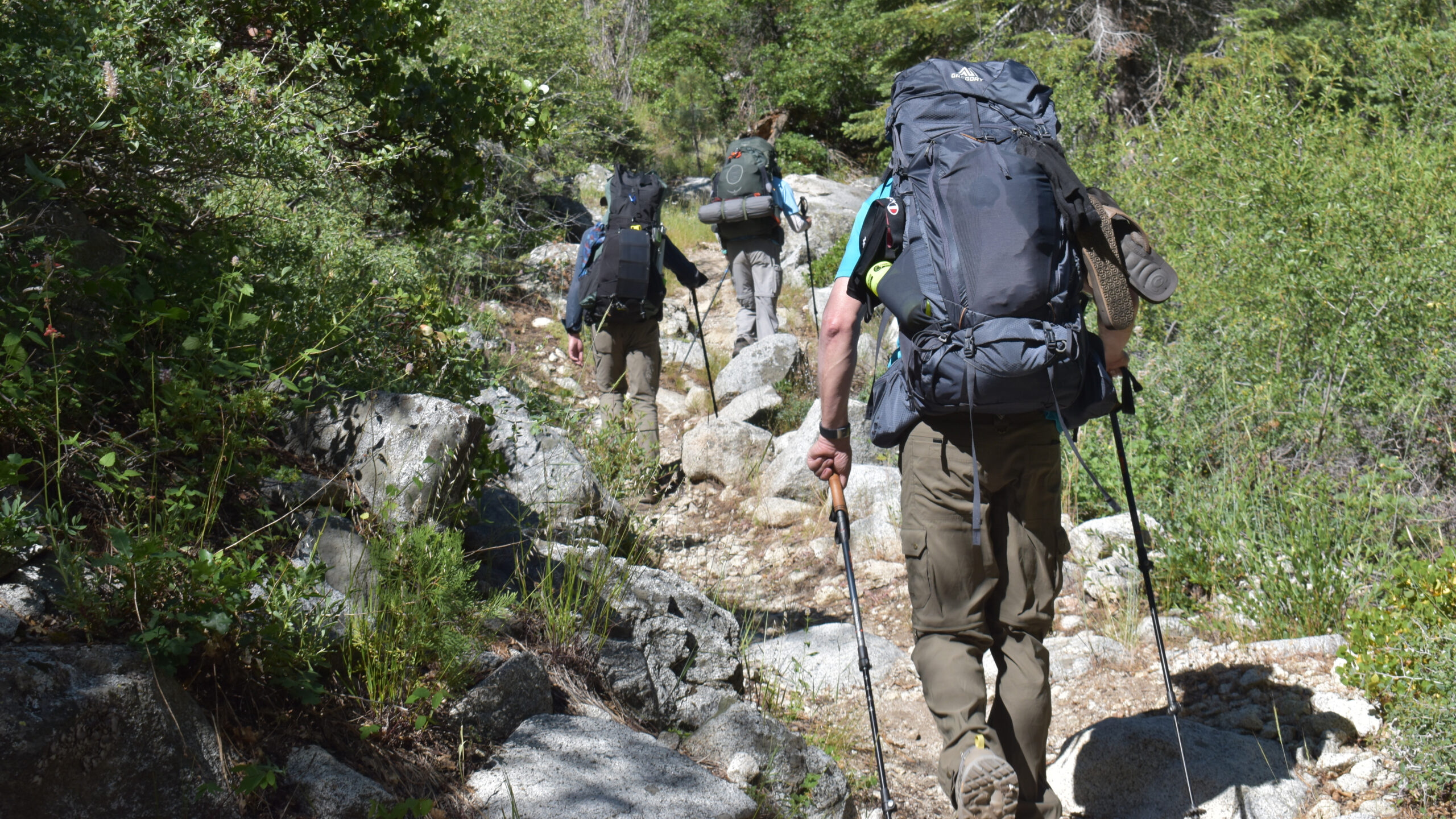
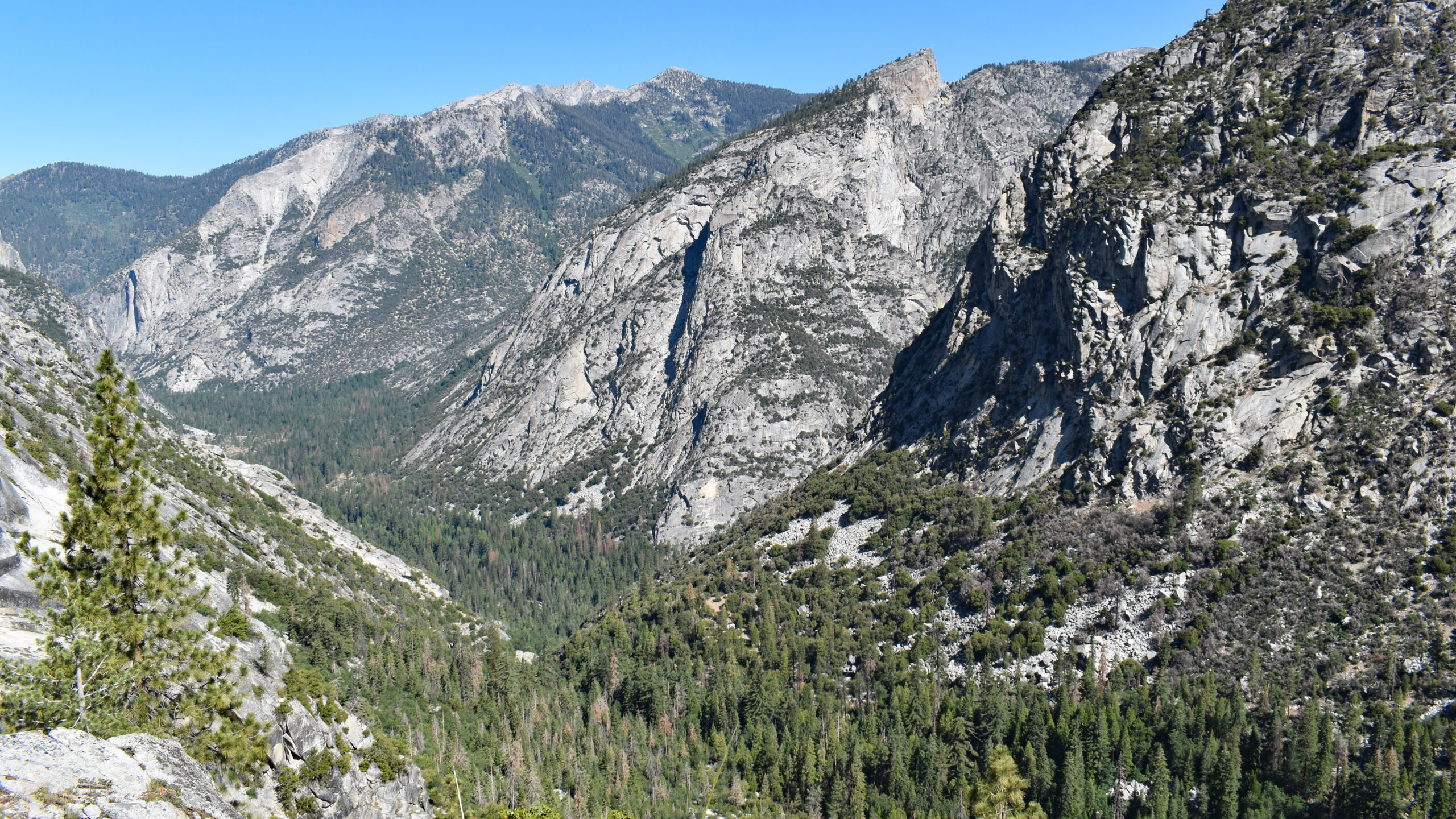
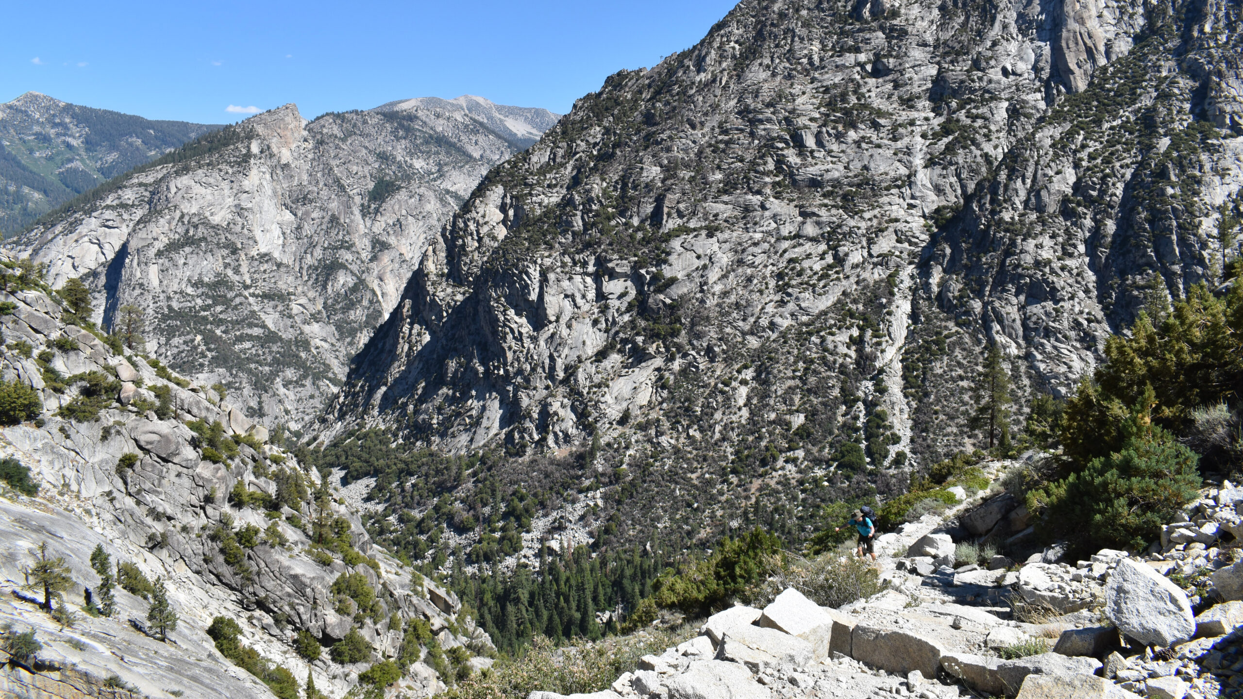
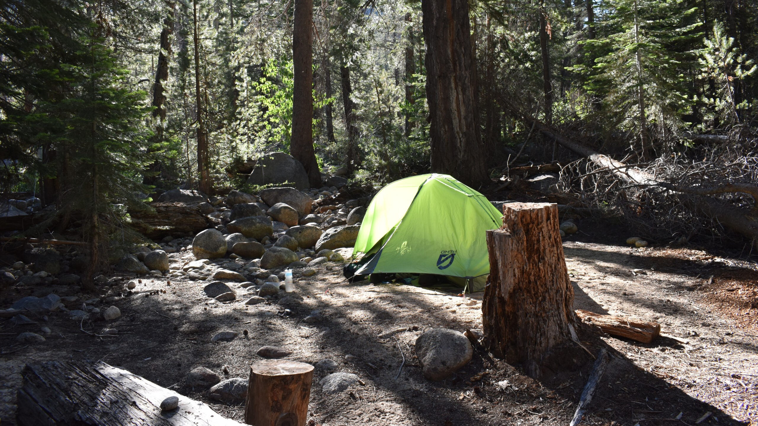
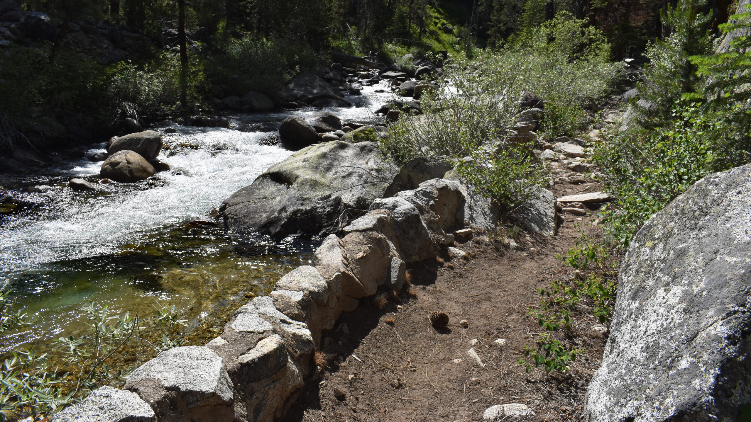
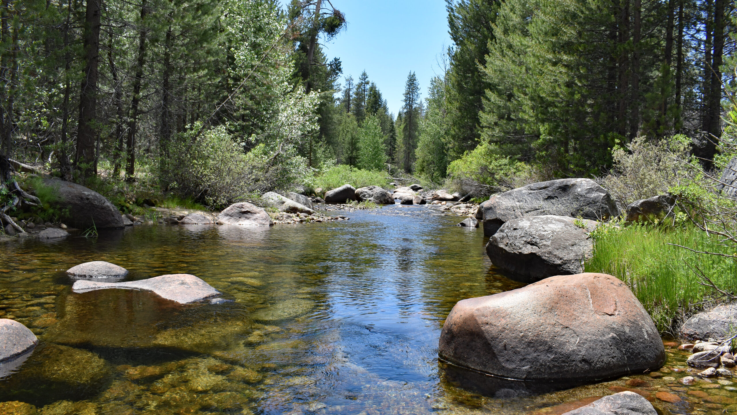
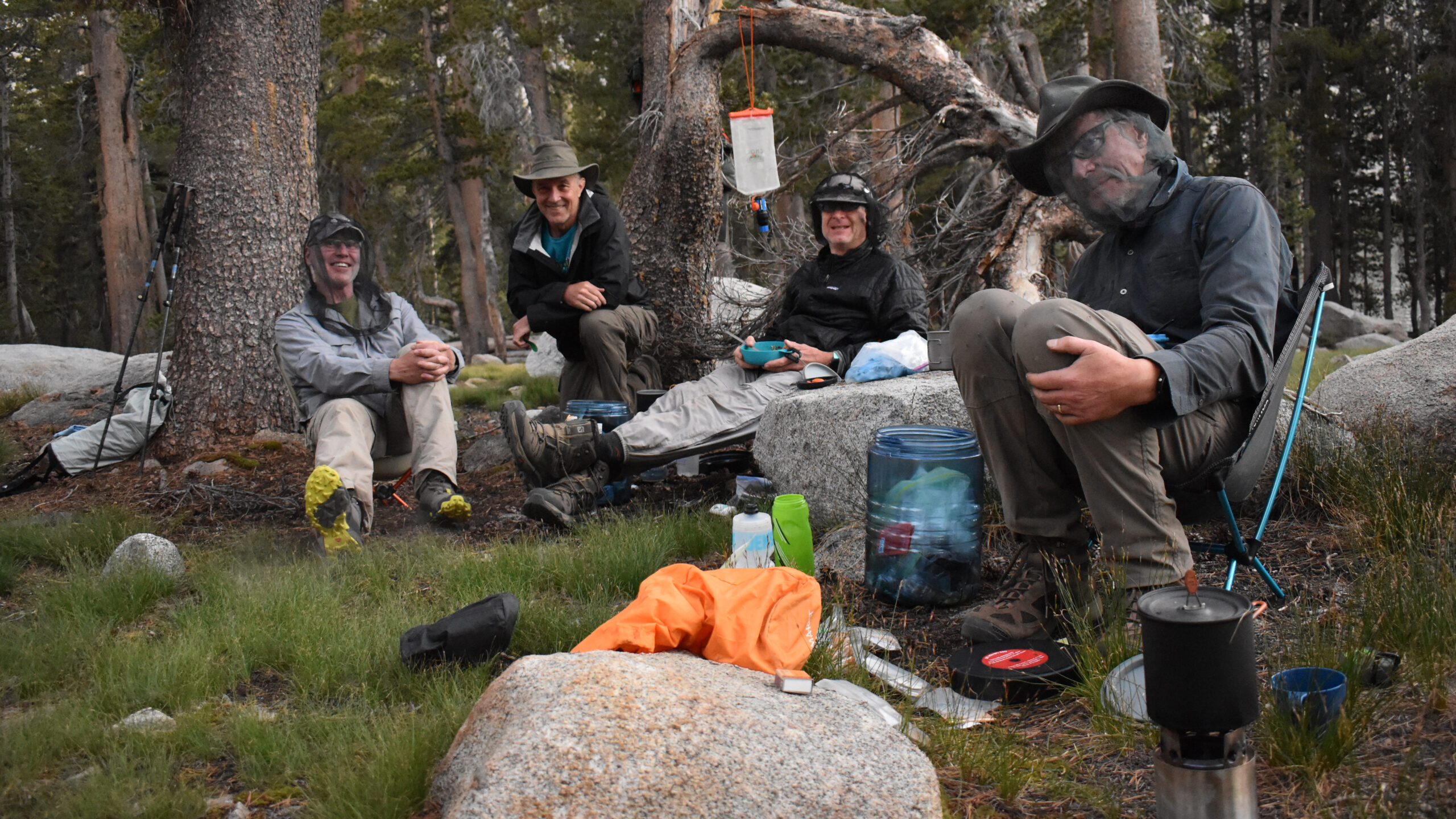
The hike beyond Roads End is absolutely gorgeous. With rugged granite walls topped with an overcast skies, made for an awesome afternoon. As we left the valley floor the growing thunder clouds added a spirit of adventure. They kept the temperatures moderate and gladly they never made due on their threat. We made camp by mid-afternoon at the confluence of Sphinx and Bubbs Creek. The actual campsite was within the forest and served as a practical spot for our first night.
Day 2: Avalanche Pass
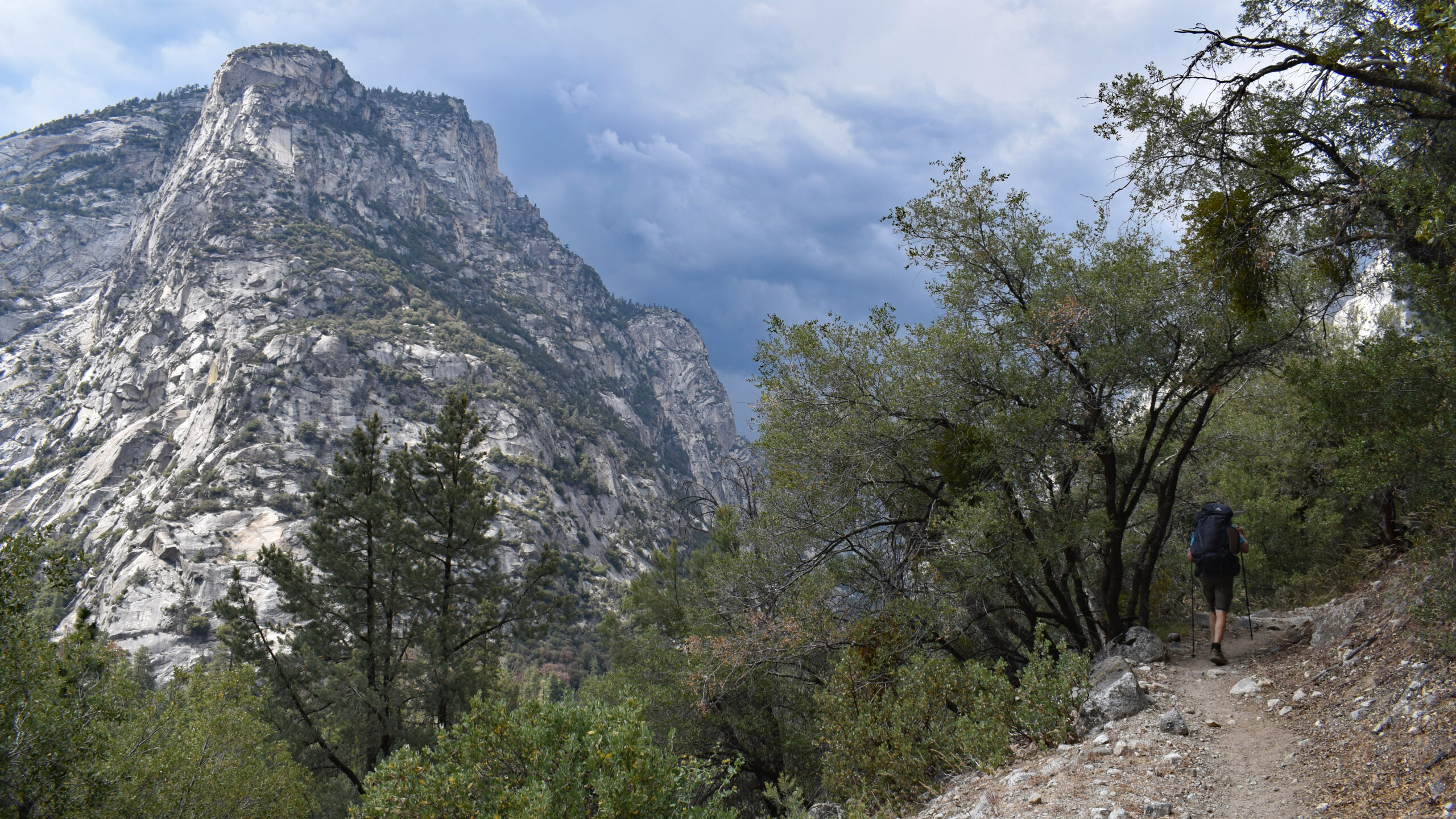
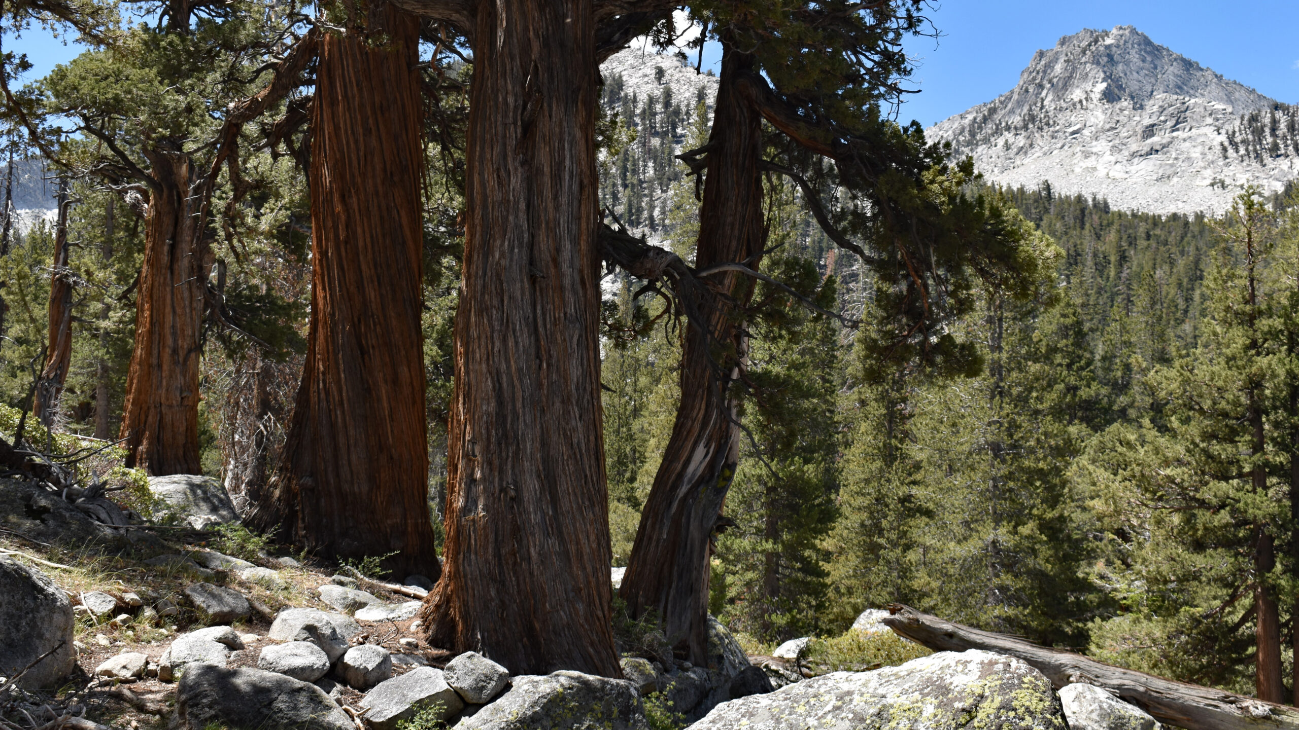
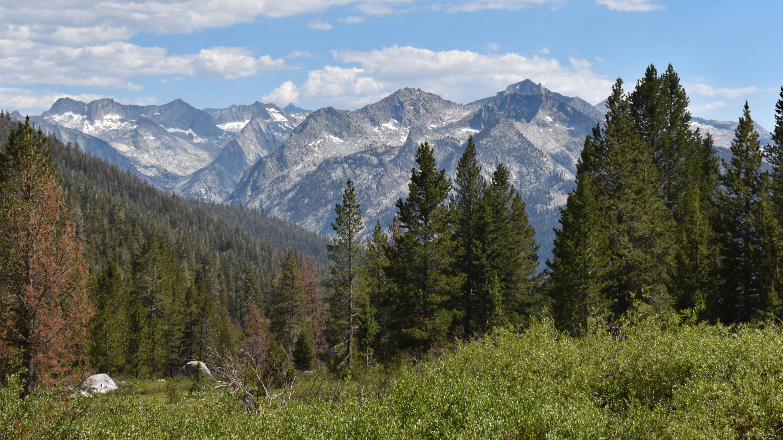
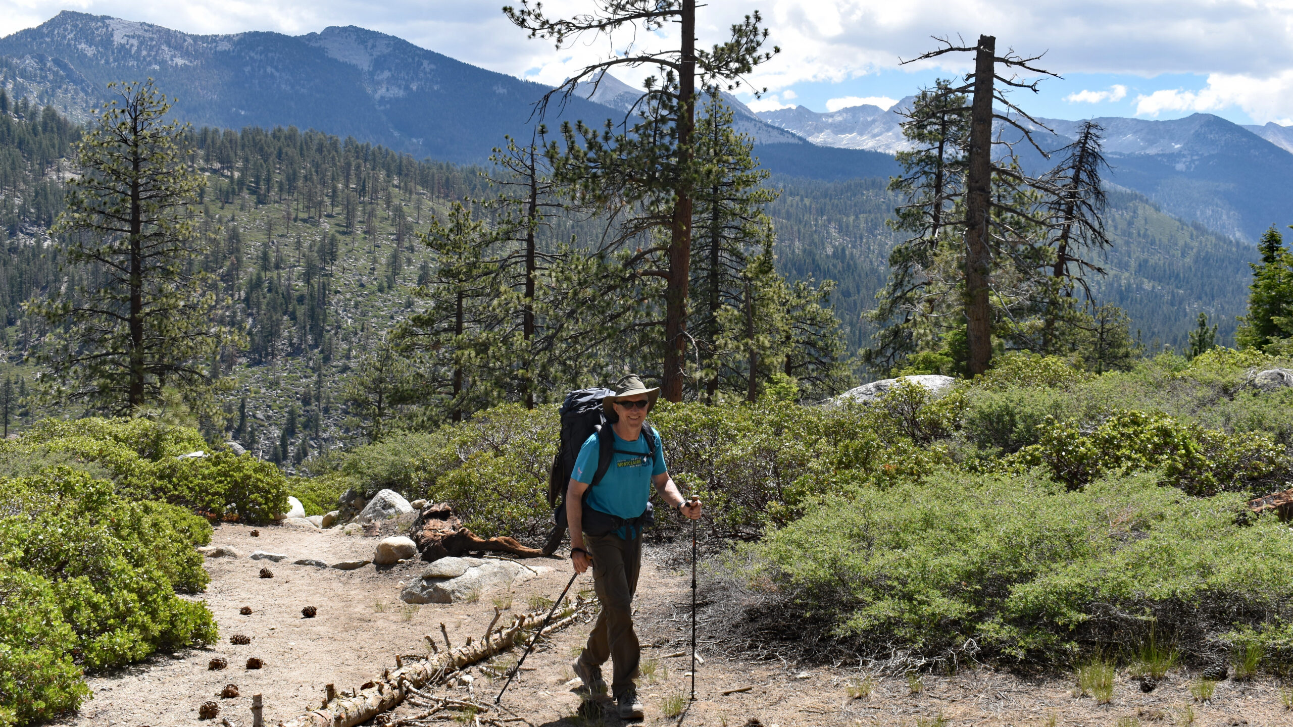
On paper, Day 2 would seem to be a pretty grueling day. It would involve a 4000 ft climb with an overall distance of 11 miles. The first 3 miles included a 2200 ft climb which I thought would be really tough. In fact, is was an incredibly enjoyable with broad views of upper Kings Canyon. We made Sphinx Creek crossing as our lunch stop as it was the last source of water until late in the day. In late June the creek was a flowing well. The climb after the creek is a bit of a slog. It was about 2 1/2 miles and 1800 ft, but I suspect the elevation (summit was at 10,000 ft) was getting the best of me. Beautiful lodgepole pines spotted the rounded summit. Be sure to stop and enjoy the occasion views of range to the south and the Sugar Loaf valley to the east. The overall decent to the Roaring River is 2500 feet spread over 5 miles. Given that I was a bit exhausted reaching the summit, the hike down seemed longer than what I was expecting.
Day 3: Taking Stock
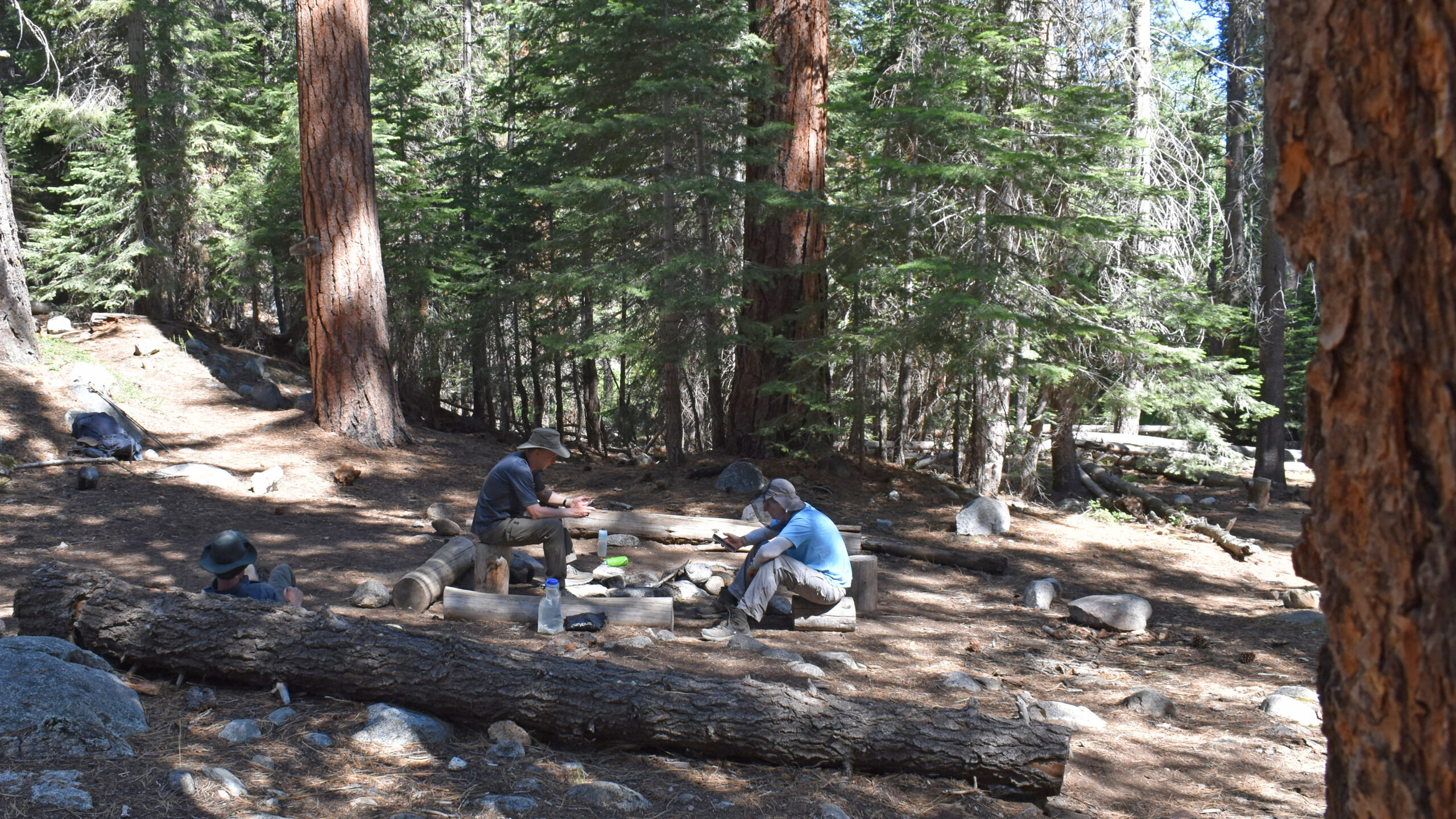
All I can say is that Day 3 was a learning experience. This day’s write-up is an attempt to share the thought process of working through a health circumstance in the backcountry. It’s intended to be helpful. If you primarily interested about the trail, you might as well skip to Day 4.
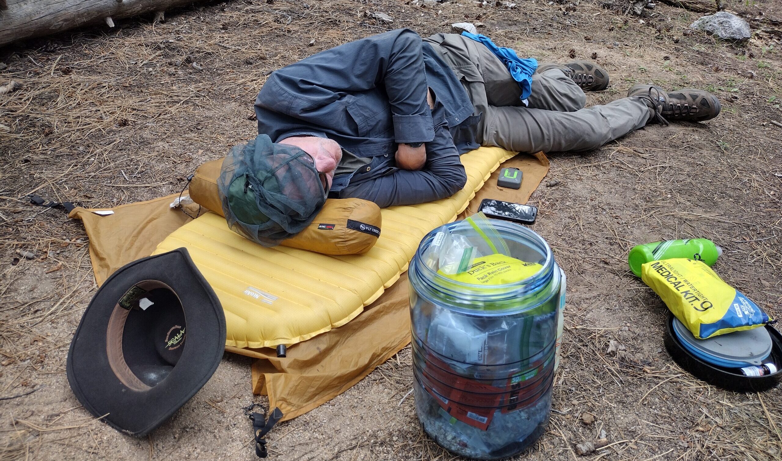
Jens tent was silent at 7:30am. He gets up like clockwork at 7am. Today he rose at 8am to report that he wasn’t feeling well, perhaps caused by something that he ate. His initial comment was that he needed an hour to two to get in shape.
We had just come over a 5000 ft pass and were 15 miles from the trailhead. An easy exit wasn’t possible. Jens (and the rest of us) were in no immediate danger but poor decision making could change our predicament quickly. Even though we were 4 mature hikers, I felt a responsibility to these unfolding circumstances.
Jens was nauseous. He wasn’t sure if it was food poisoning or viral. He had felt this way since the early morning hours and held out some hope that he could sleep it off. Even though Jens was weak, such comments made me believe his condition was reasonably stable. We had flexibility in our schedule so a wait and see was a reasonable approach for the time being. With that being said, there were a few facts to acknowledge: we were still in a pandemic; we had just ate a restaurant together 24 hours earlier. So it was important to check in with the group to see if others remained in good health.
At this early stage, I was still in some frame of mind of continuing with our planned hike. But if we proceeded, and Jens’ health deteriorated, the exit routes would involve 2+ days of hiking with considerably more elevation gain. One thing that became clear (and perhaps the key learning from the day): Managing risk would have to guide our judgement. Jens would need to be completely healthy if we were to proceed with our planned route.
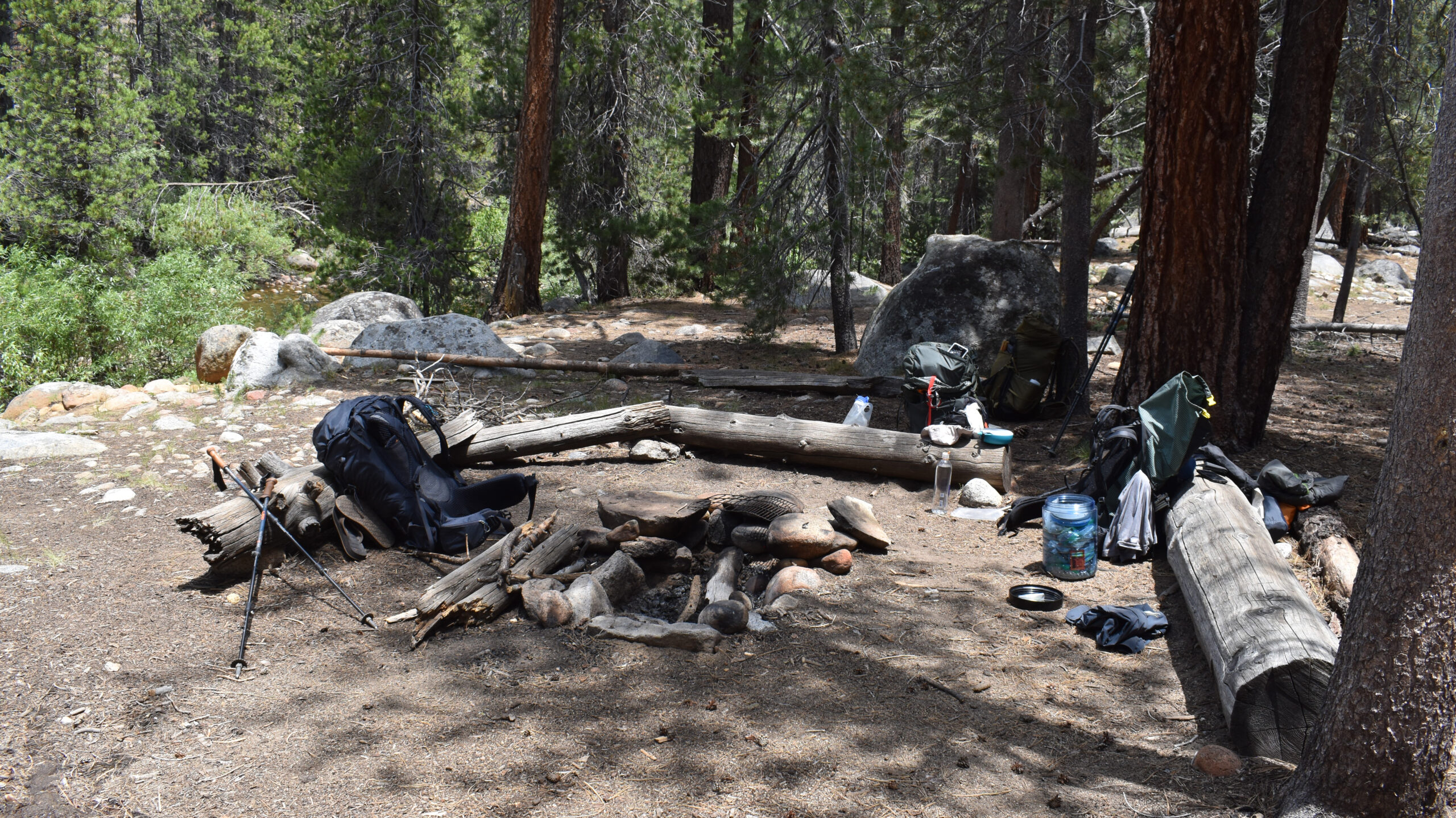
Focusing back on Jens, I wondered what I could do to assist with his rest? He needed to be comfortable but resting at mid-day in the woods can be subtly challenging. In any case, we set up an air mattress and a pillow, provided ample water and simply let time pass.
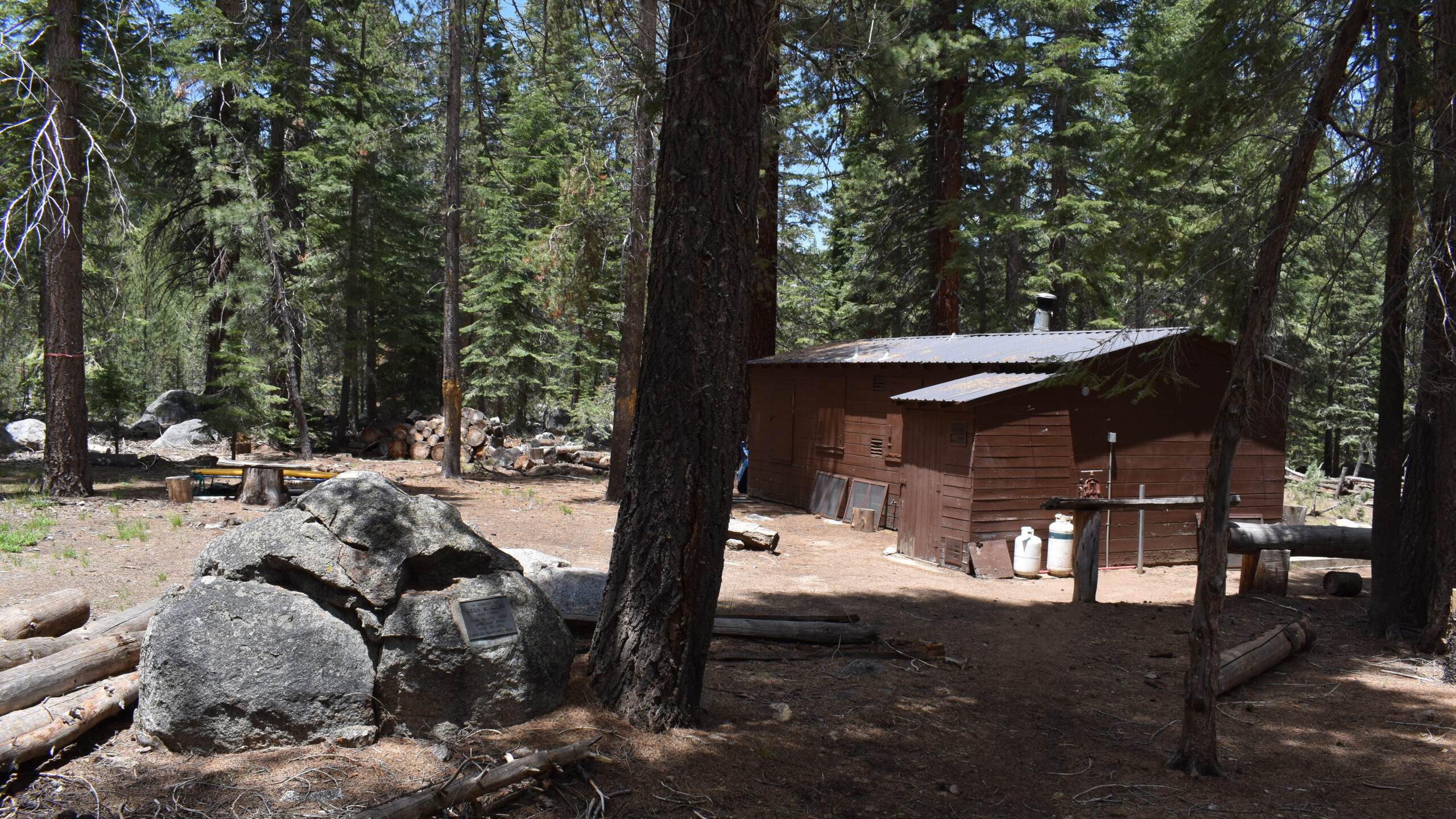
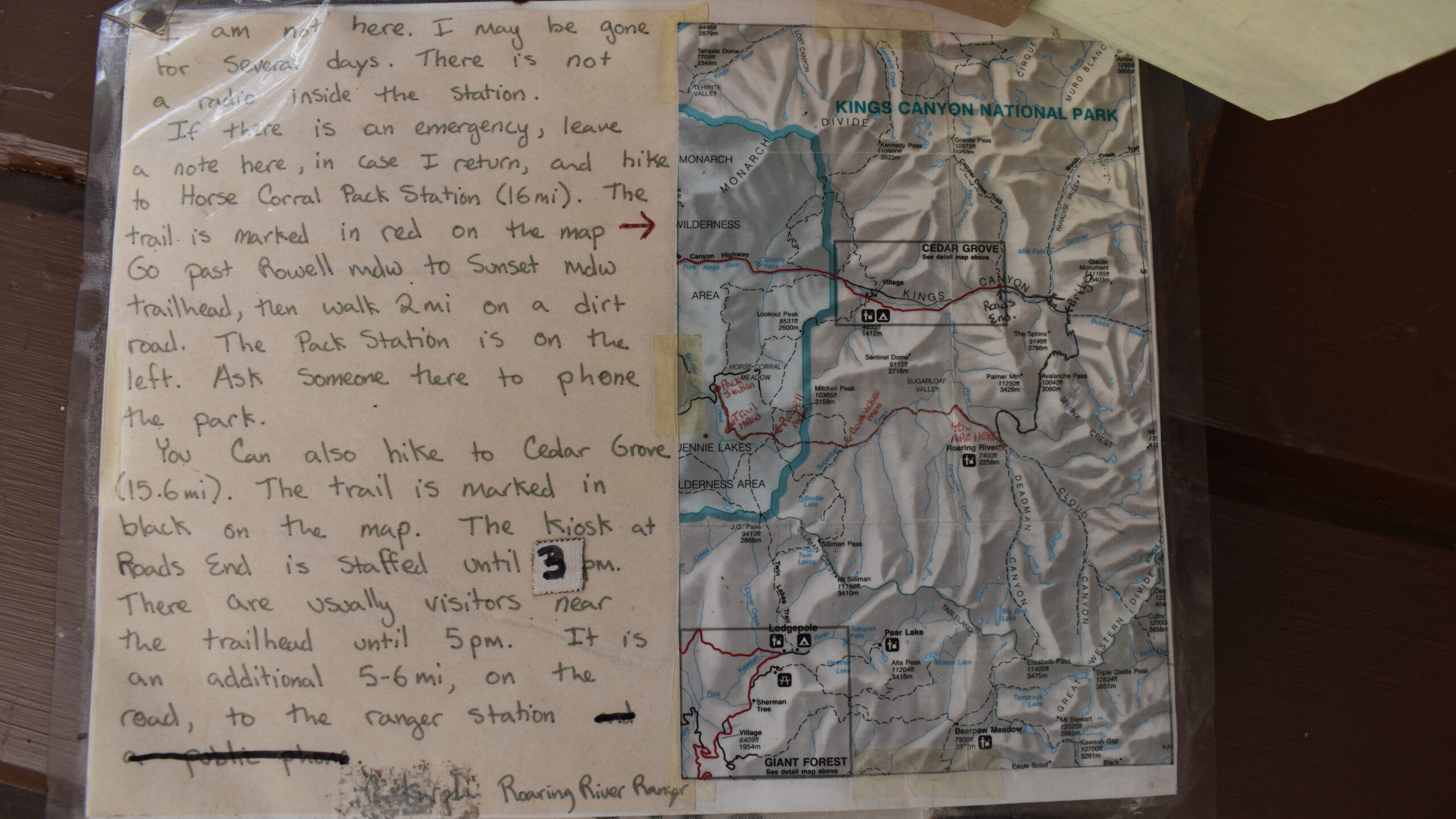
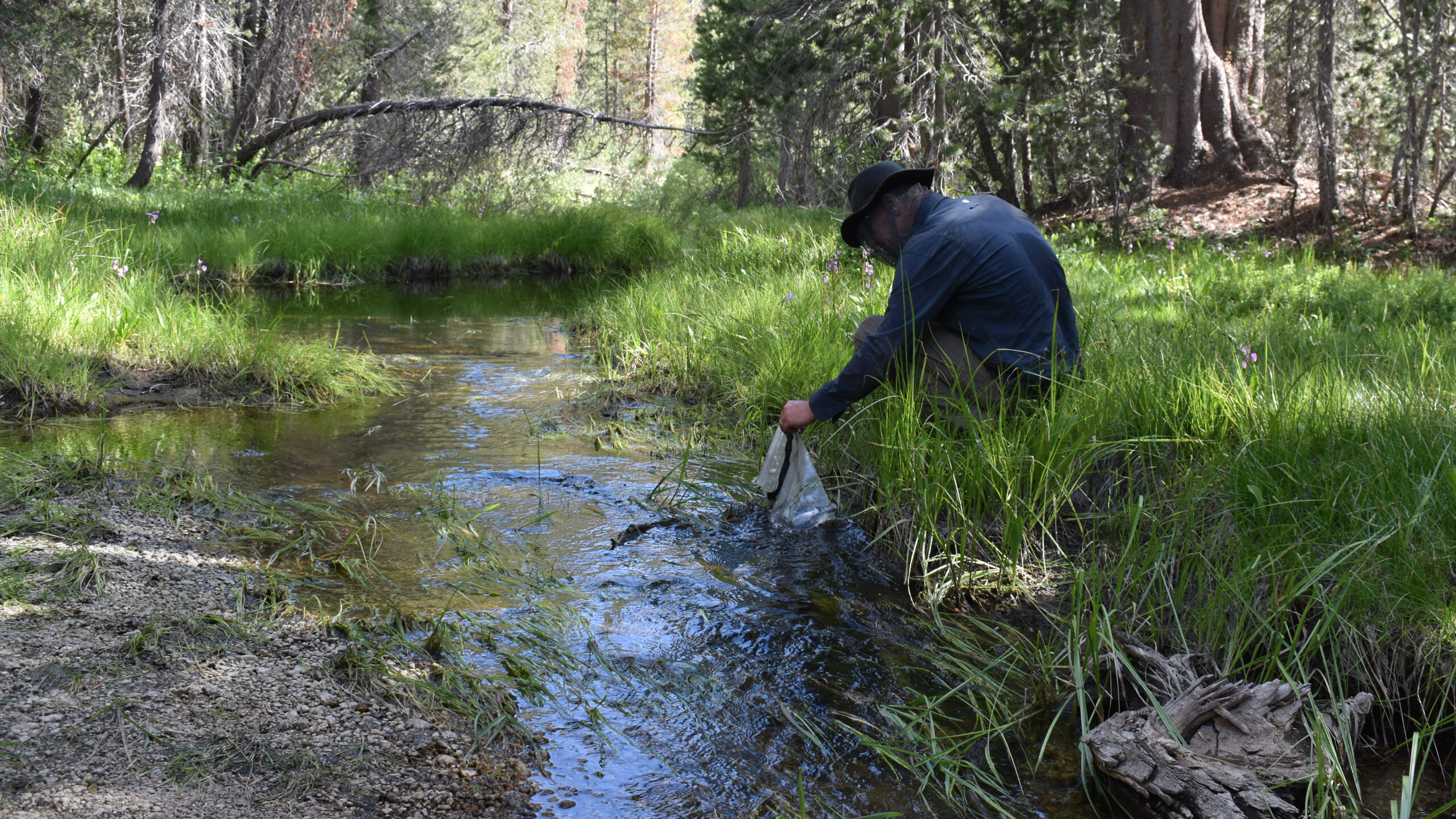
With this rough plan in place, I thought I’d explore the nearby Roaring River Ranger Station to see if there was anything there that could provide assistance. Even though it wasn’t staffed, there was emergency information on the bulletin board.
By mid morning, it pretty clear that Jens’ condition wasn’t improving. With that, I started to think through possible exit routes. Going back the way we came would be physically impossible. The other two options involved hiking west 20 or 30 miles with about 2500 elevation gain. The first option was to hike 20 miles east to the Horse Corral Pack Station. The last five miles would include a 1500 ft elevation climb. I thought that we could arrange for a pack-horse to meet as at the 5 mile junction to carry Jens and his gear up to the trailhead. The other option was a 30 mile hike back to Lodgepole over Silliman Pass.
A helicopter evacuation should be considered. Looking back on our situation, I should have considered this more seriously. There is basically no cost associated with a search & rescue operation unless there is negligence involved. The Hiking Guy has a informative short video on this.
Another challenge from that day was communicating through my Garmin Mini. We were deep in the canyon and communicating to the satellite was spotty. What made matters worse, (as I was told later) that one the satellites was down. I hiked to a nearby high-point where the reception was slightly better, but even with that, a question-answer round trip took about 15 minutes. There were several family members that were attempting to help. However, the meager bandwidth limited our progress. After about an hour, I felt obligated to get back to camp and check how Jens was doing, without a clear mind of our next steps.
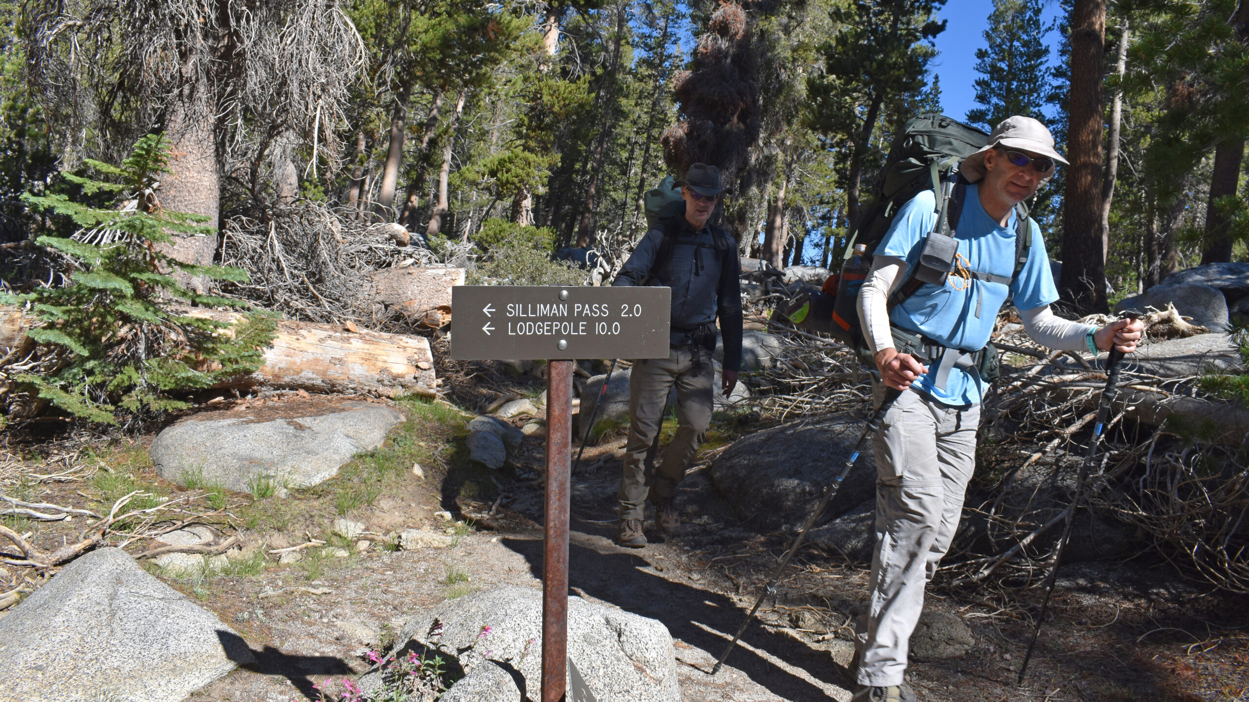
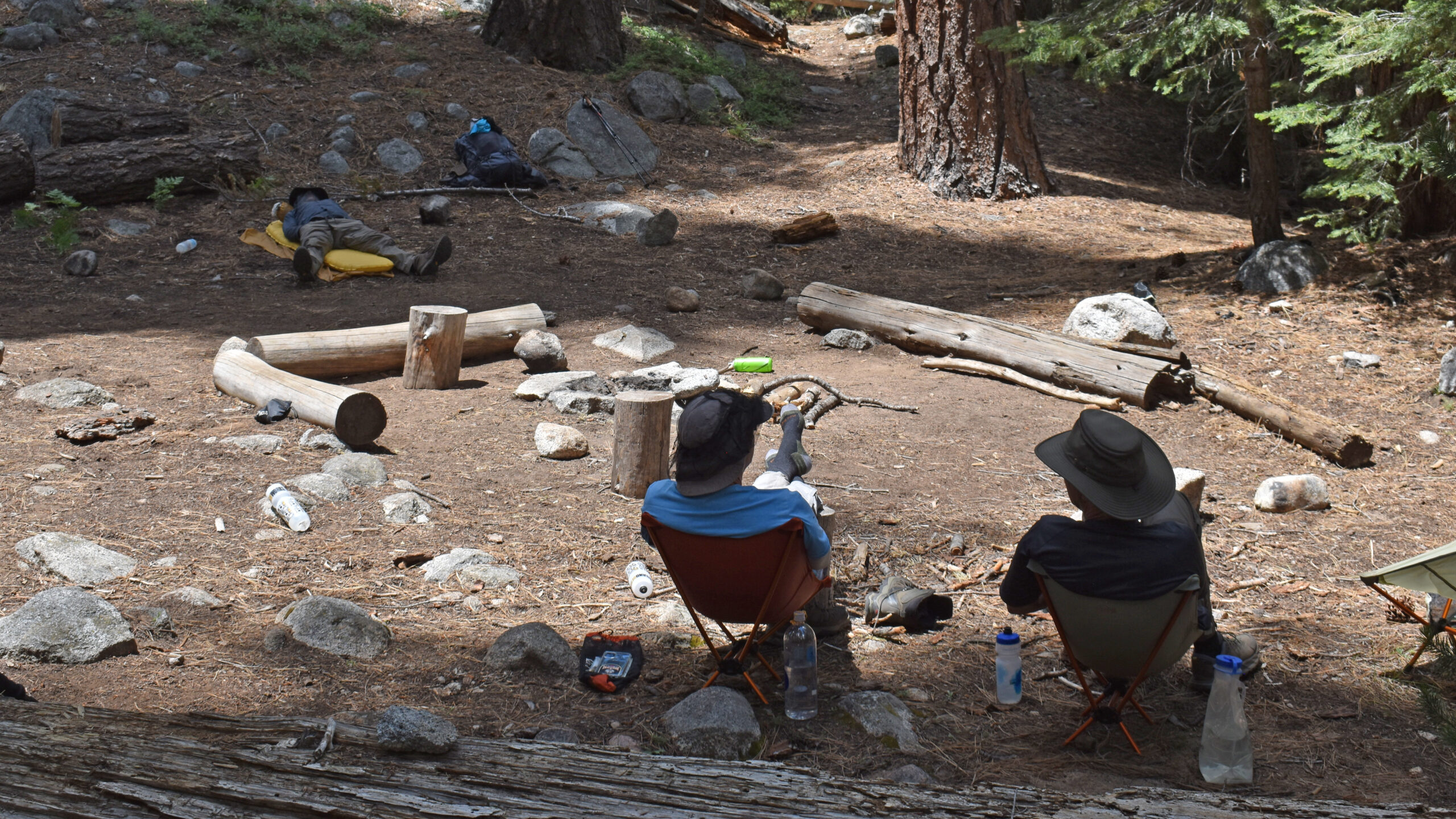
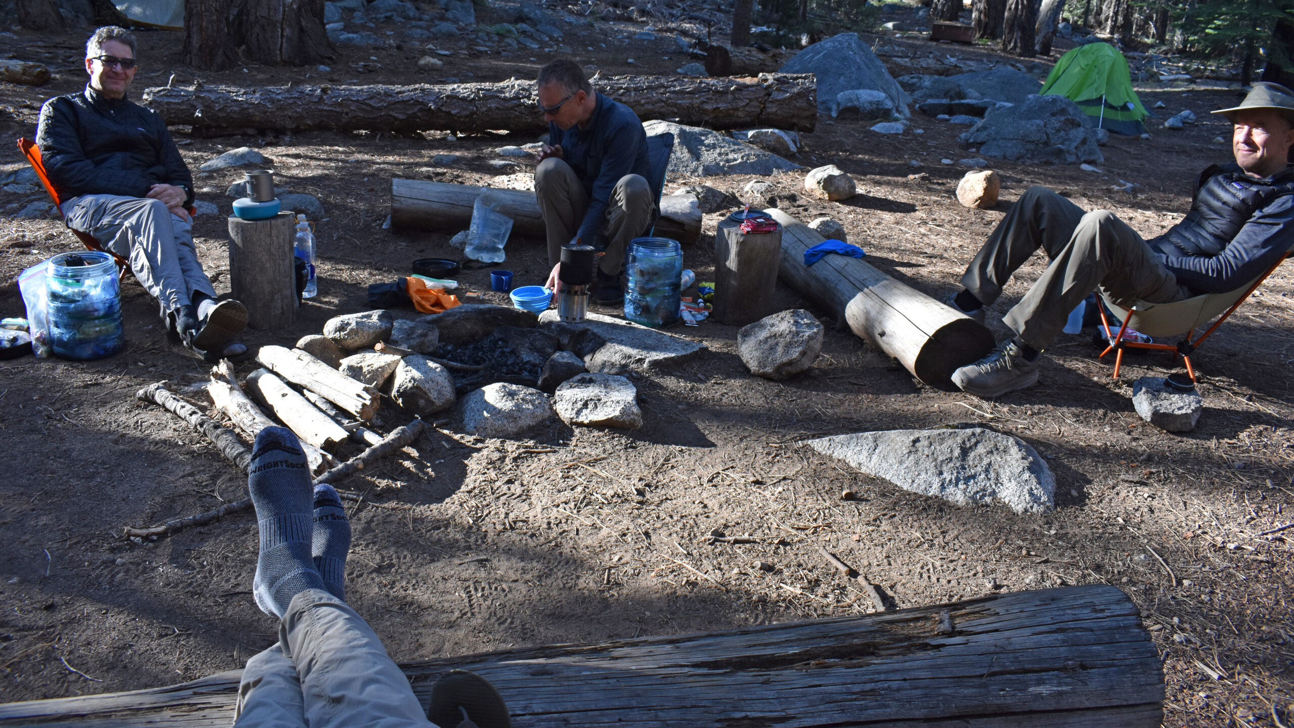
By now it was noon, and Jens’ condition wasn’t getting any worse but he was not visibly improving. None of us had any symptoms. I felt there was only small amount of risk of the situation getting worse. Later on, we evaluated the exit routes. The Horse Corral route had some appeal that it could be accomplished in one day with assistance. Unfortunately, we learned that the pack services had been closed since the pandemic. The Horse Corral was unoccupied and receiving transportation service at that location would be a challenge. That left us with the Silliman Pass route. It’s positive attributes included breaking the elevation gain into two segments. However, the overall exit would take a day and a half. Seeing Jens in his stable but weak condition, it seemed like Silliman was the best option although we would have to re-evaluate in the morning.
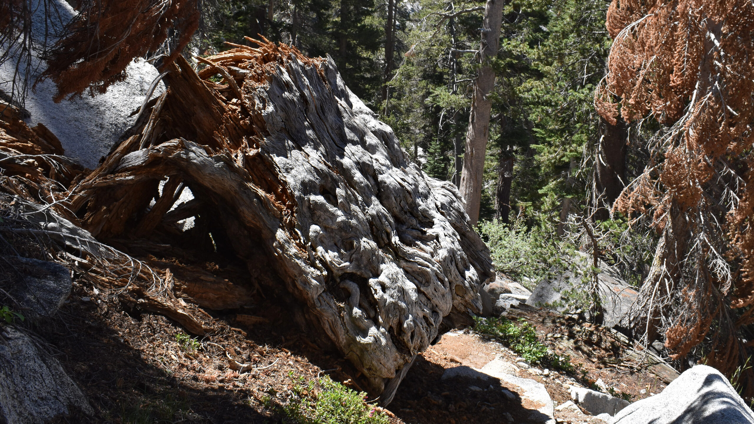
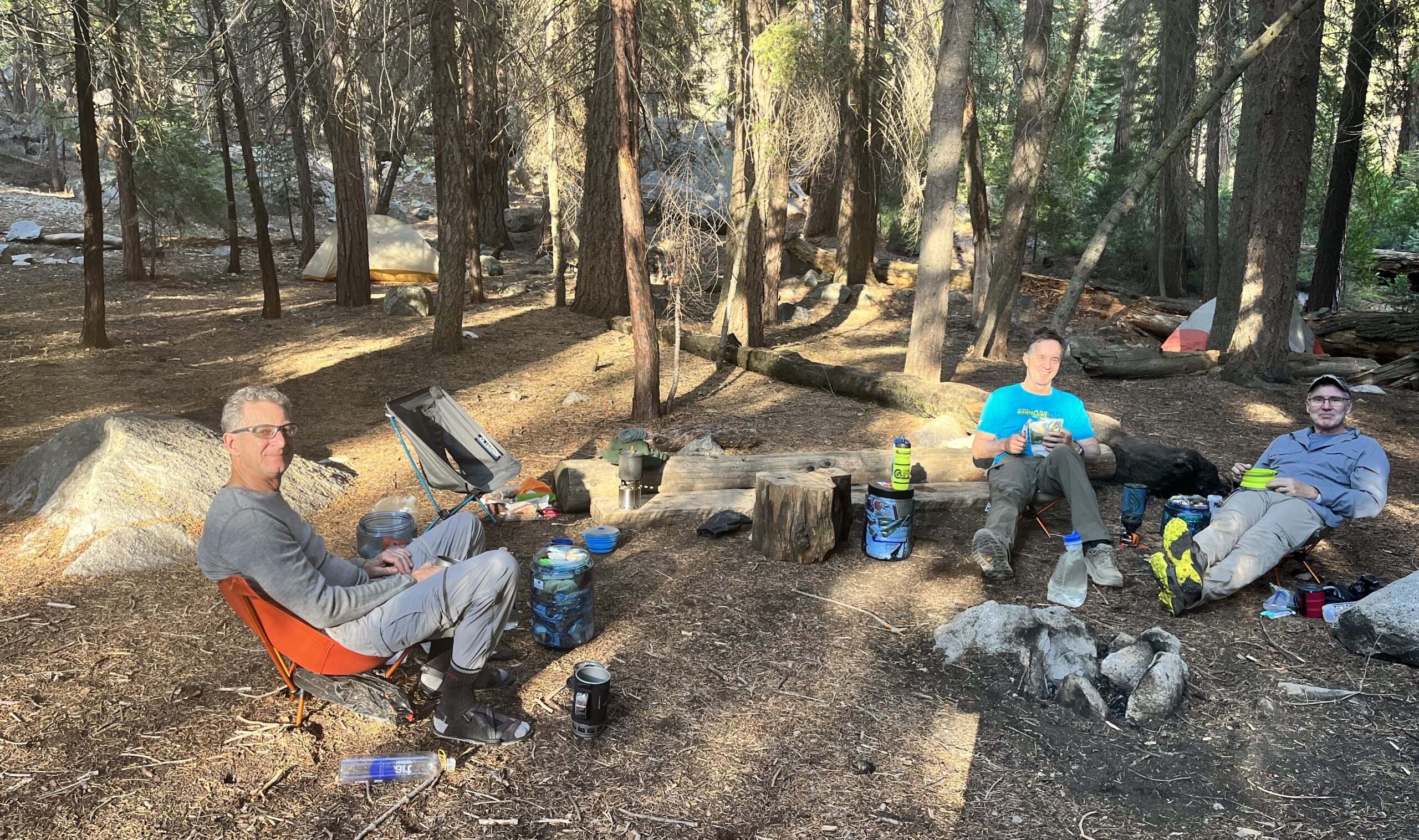
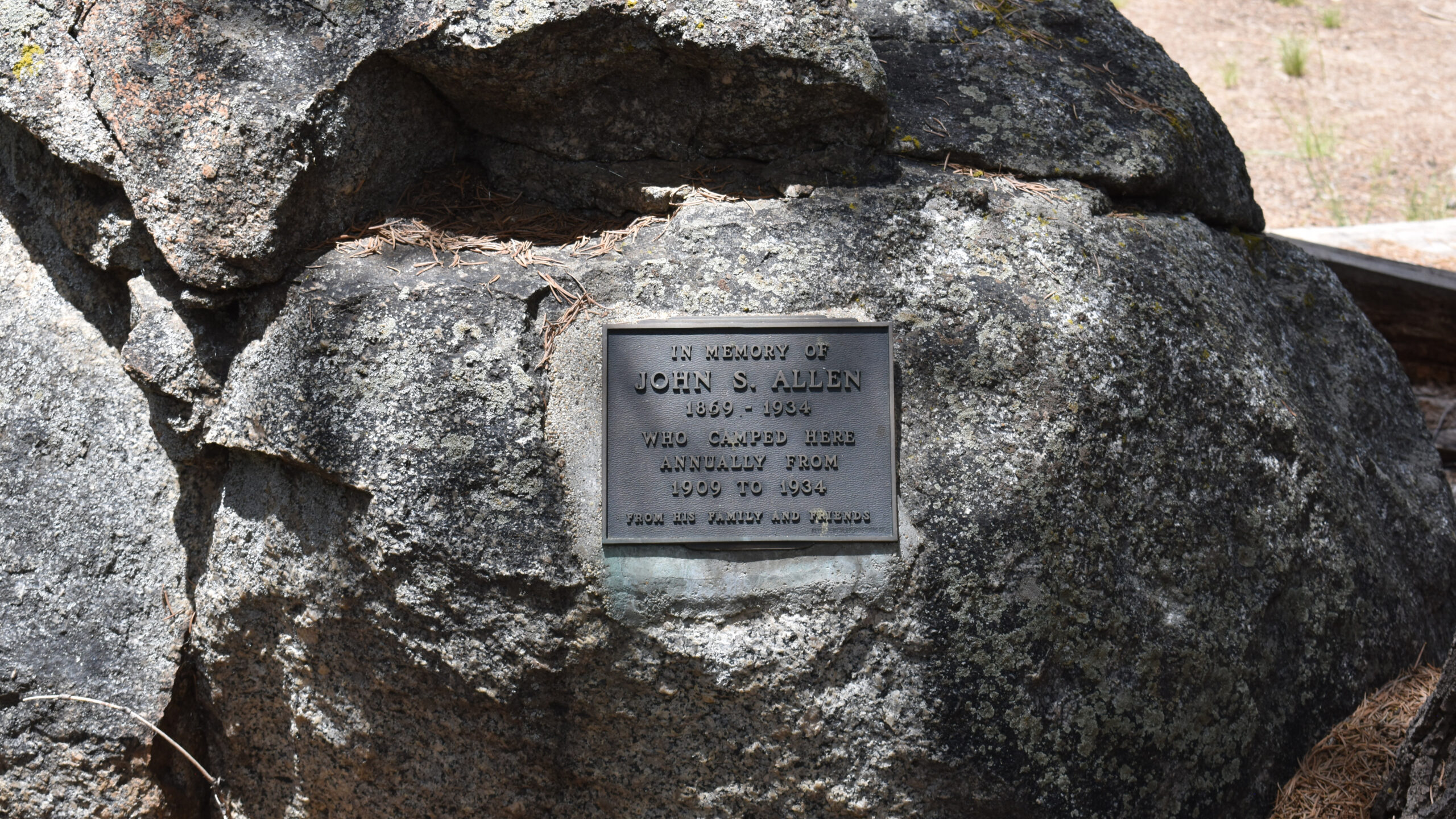
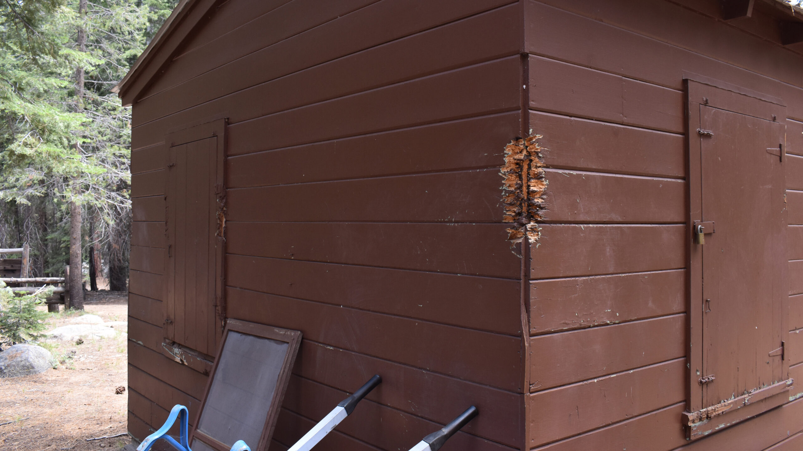
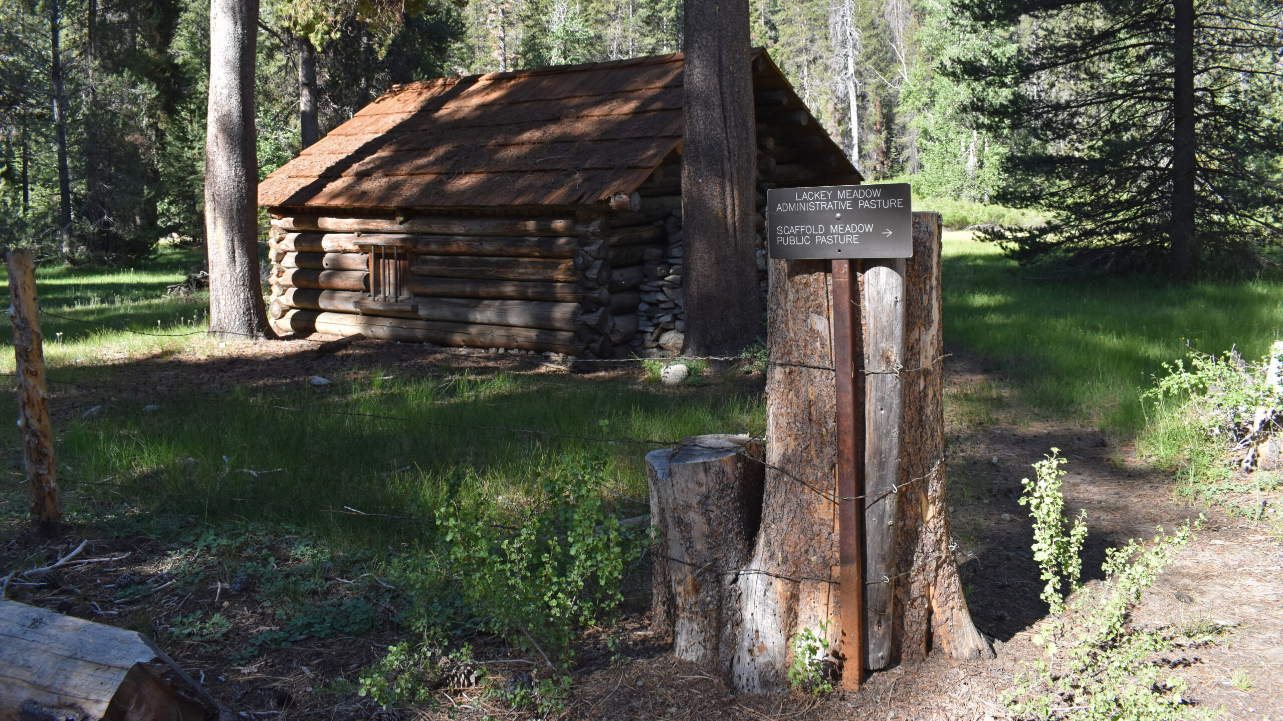
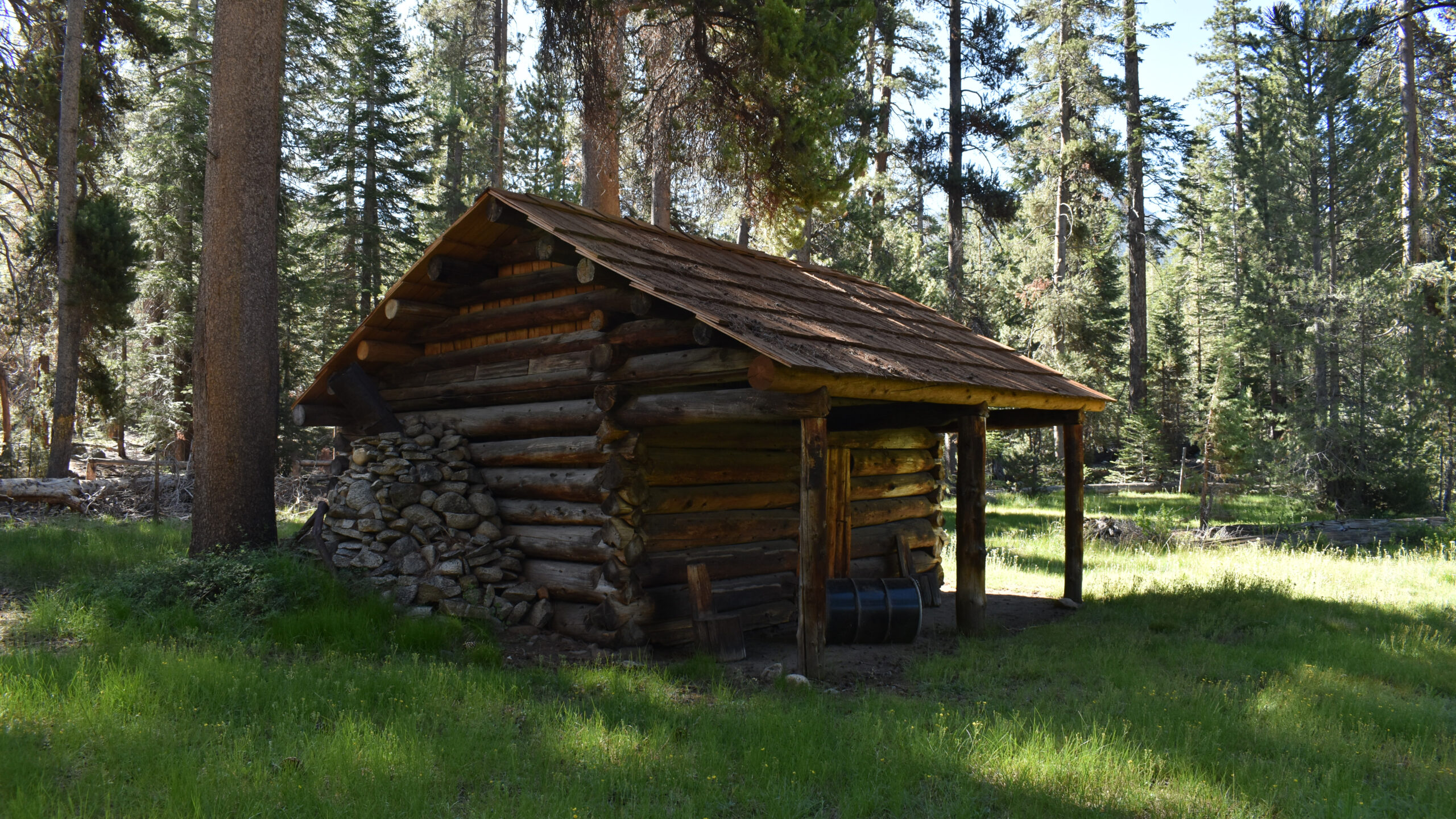
Left in the woods, I’ve always found there is tons of stuff to either do or get interested in. The nearby Ranger Station had some strange scrapings on its siding (see photos). Later I discovered Ranger Station had been homesteaded over 125 years ago. Nearby there was an original homesteaded cabin that was worth investigating. I was curious to see how both settlements had made use of the land, clearing trees and making paddocks. I thought to myself, could I have done better? Were these the optimum places for livestock, growing, etc. The river presented the excitement of a quick swim. Anyway, the afternoon passed and we settled back for a quiet evening. Jens showed signs of improvement but was still pretty frail.
Day 4: Heading Back
I was up before 7am sipping my coffee, playing out various scenarios. I wanted to make sure we didn’t box ourselves in. What if we were 5 miles down trail and Jens became completely exhausted, could we evacuate him? Where are the possible helicopter access points? I’ve had some experience creating helipads. We weren’t carrying axes or similar equipment. We would need to find a natural meadow or get to a ridge above tree-line. Looking at the map, there were limited options. In fact our best option was to stay put. With that in the back of my mind, I asked myself at what distance would there be a go/no-go decision down trail? I concluded that 2 miles down trail where we would begin a slow climb, a decision had to be made. As the other guys awoke, I mentioned we needed to be prepared to carry Jens’ equipment and they should re-pack their backpacks accordingly.
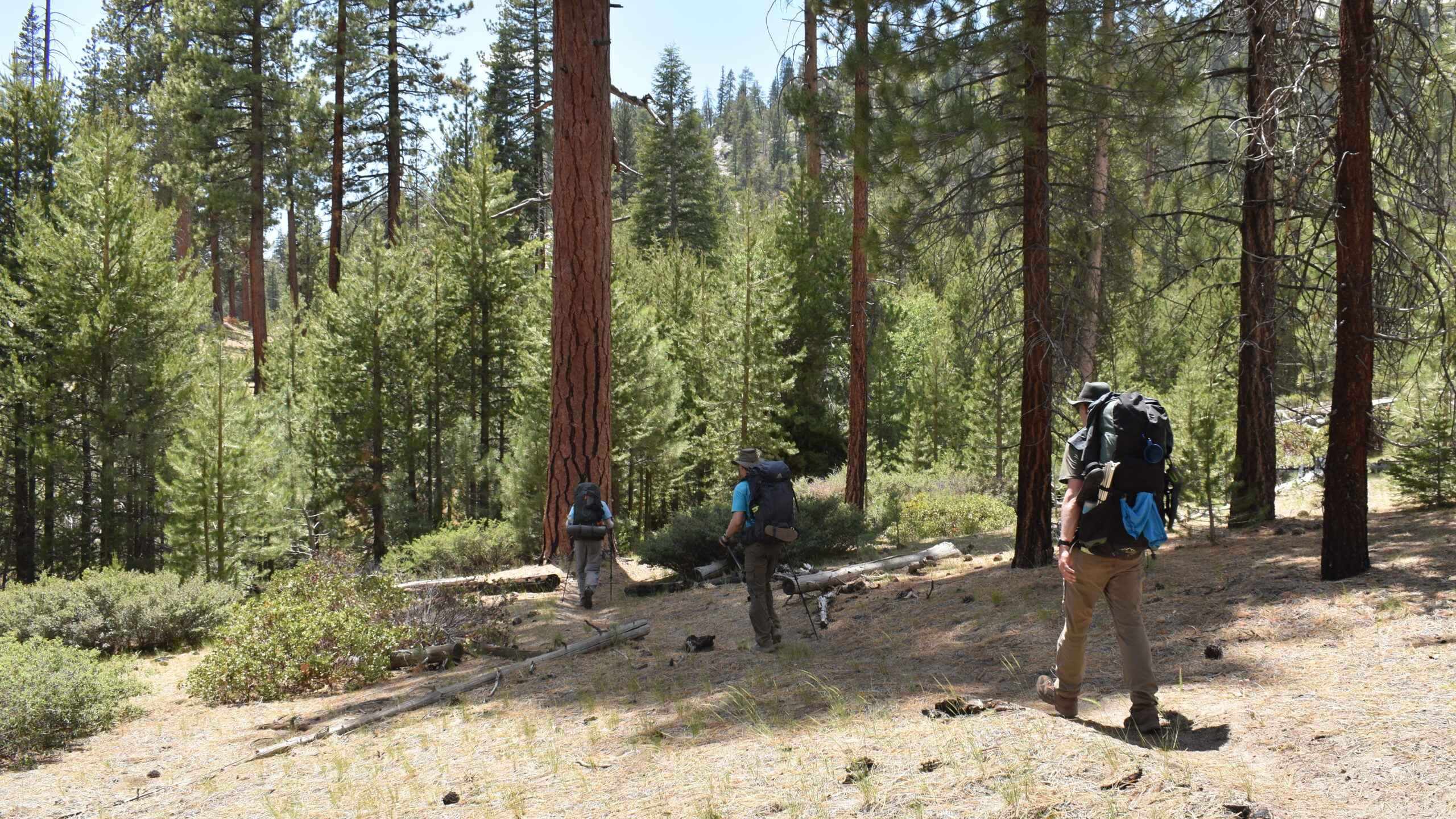
Jens rose from his tent at 8am and stated he was good-to-go as far as hiking was concerned. Despite his words, he was not at full strength. Despite this, Jens insisted on carrying the regular load. With a quick discussion, we were in full agreement of exiting through Silliman Pass via the Sugar Loaf Valley. With the first decision behind us, we set off. At the 2 mile point, Jens was still doing well enough. We felt there was a low degree of risk for proceeding and as such, we continued on.
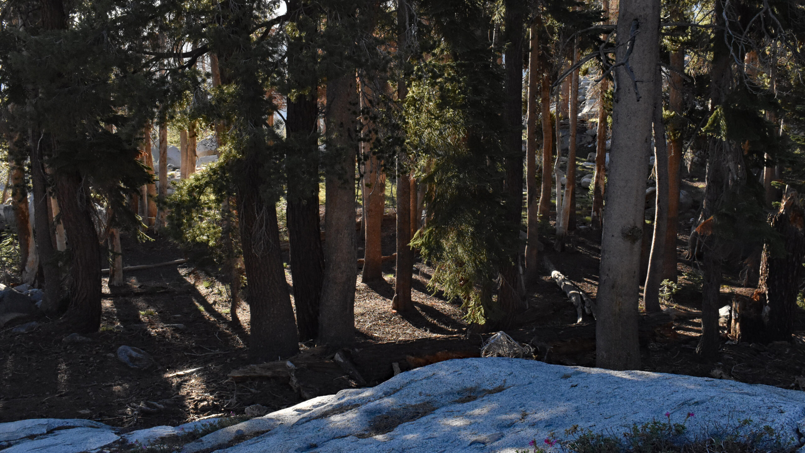
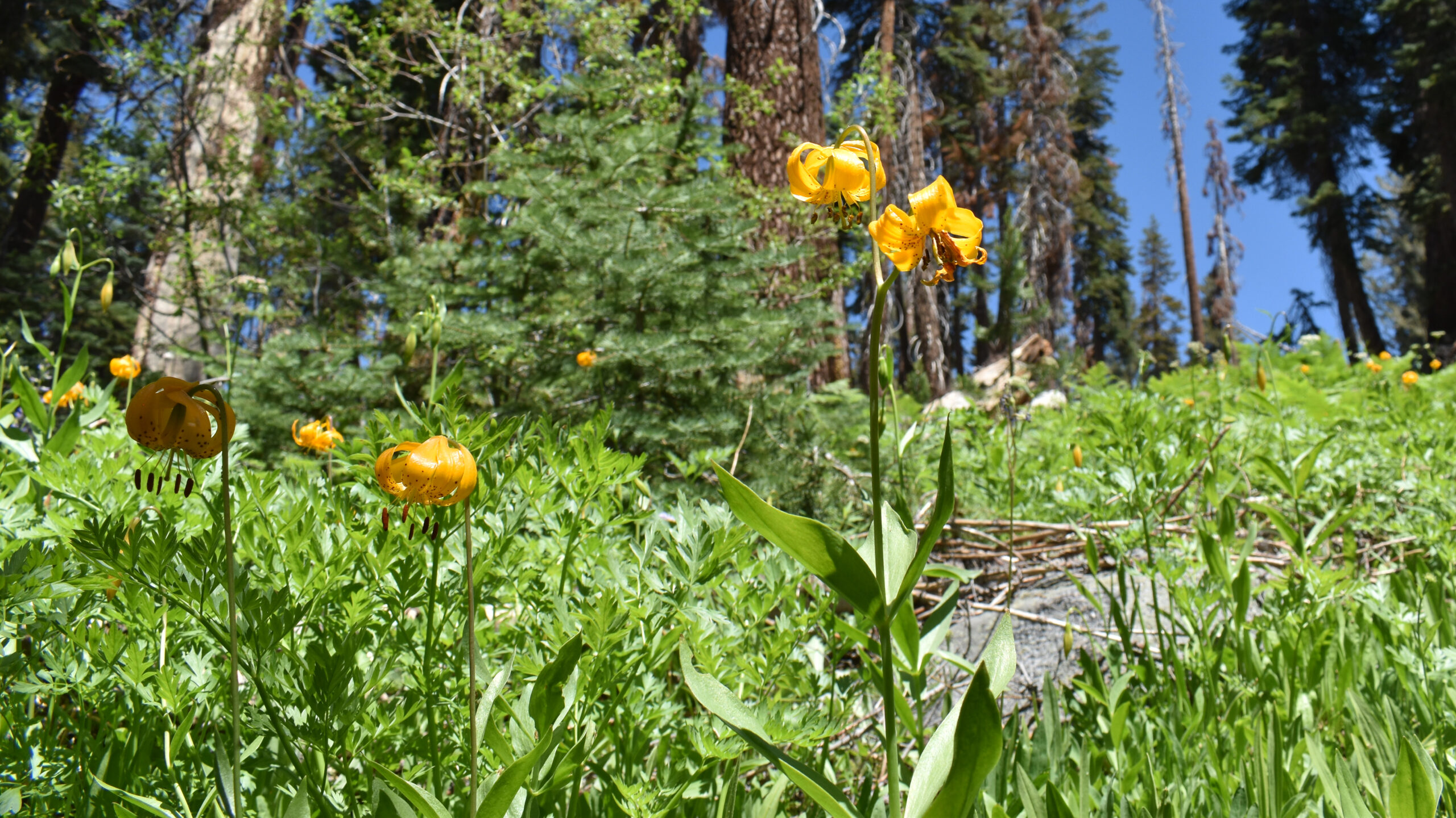
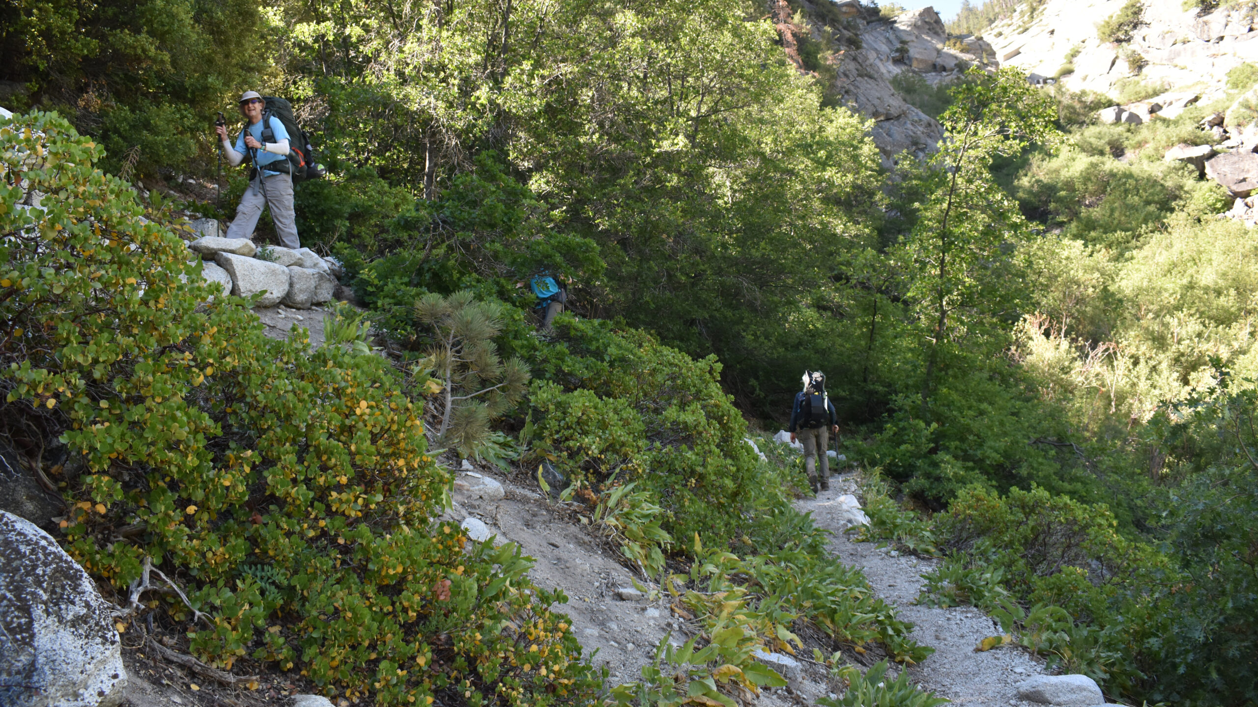
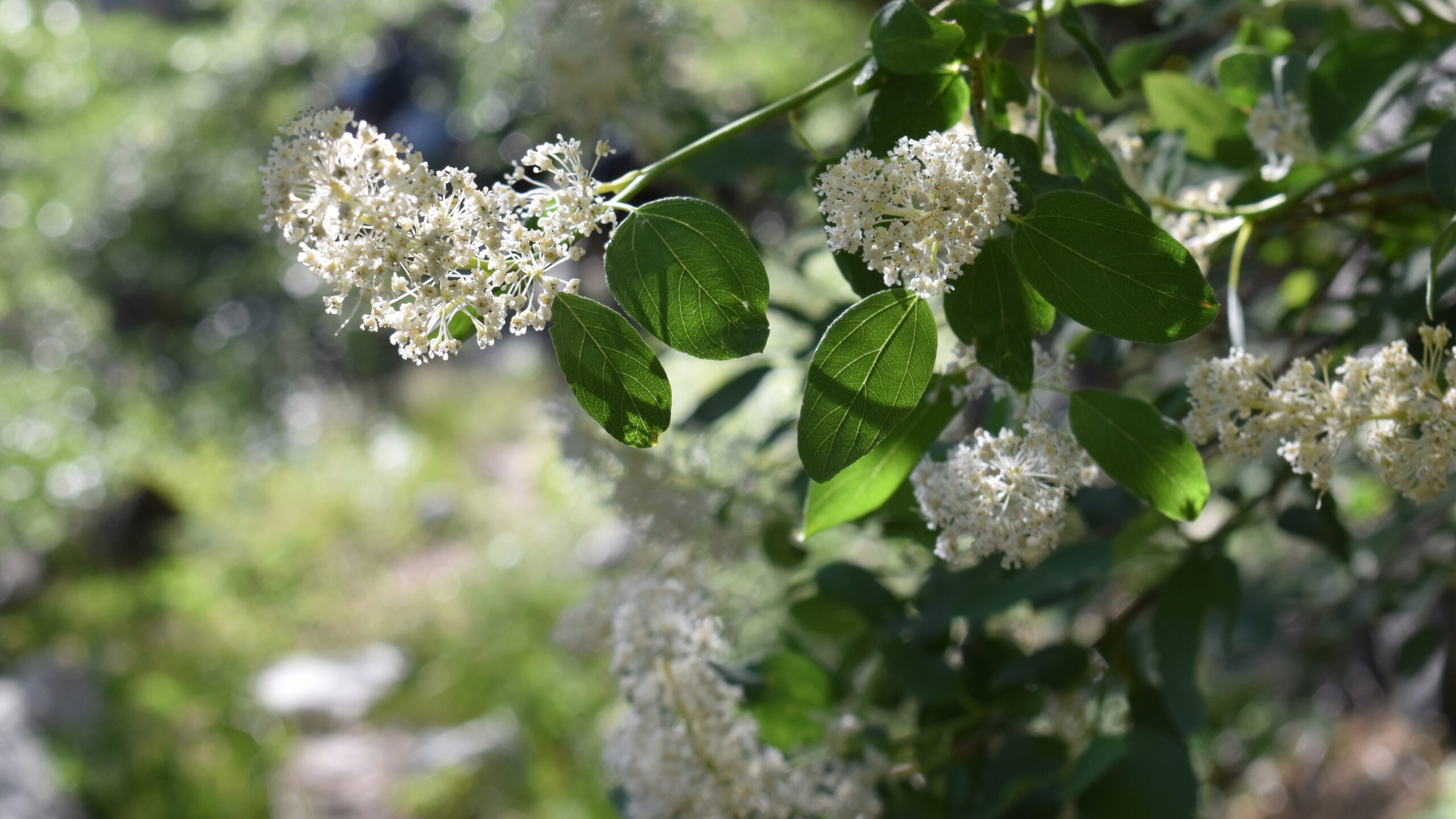
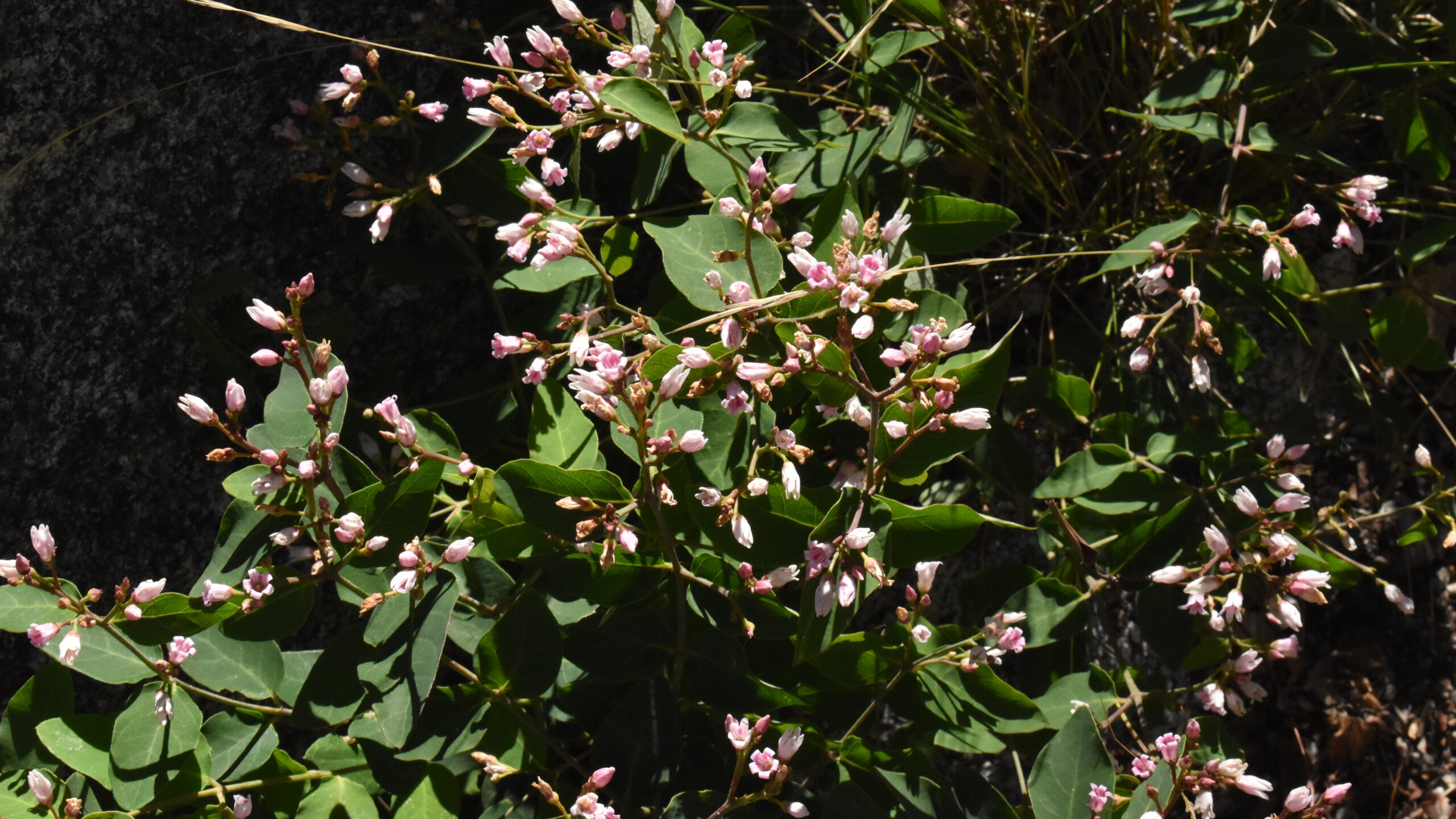
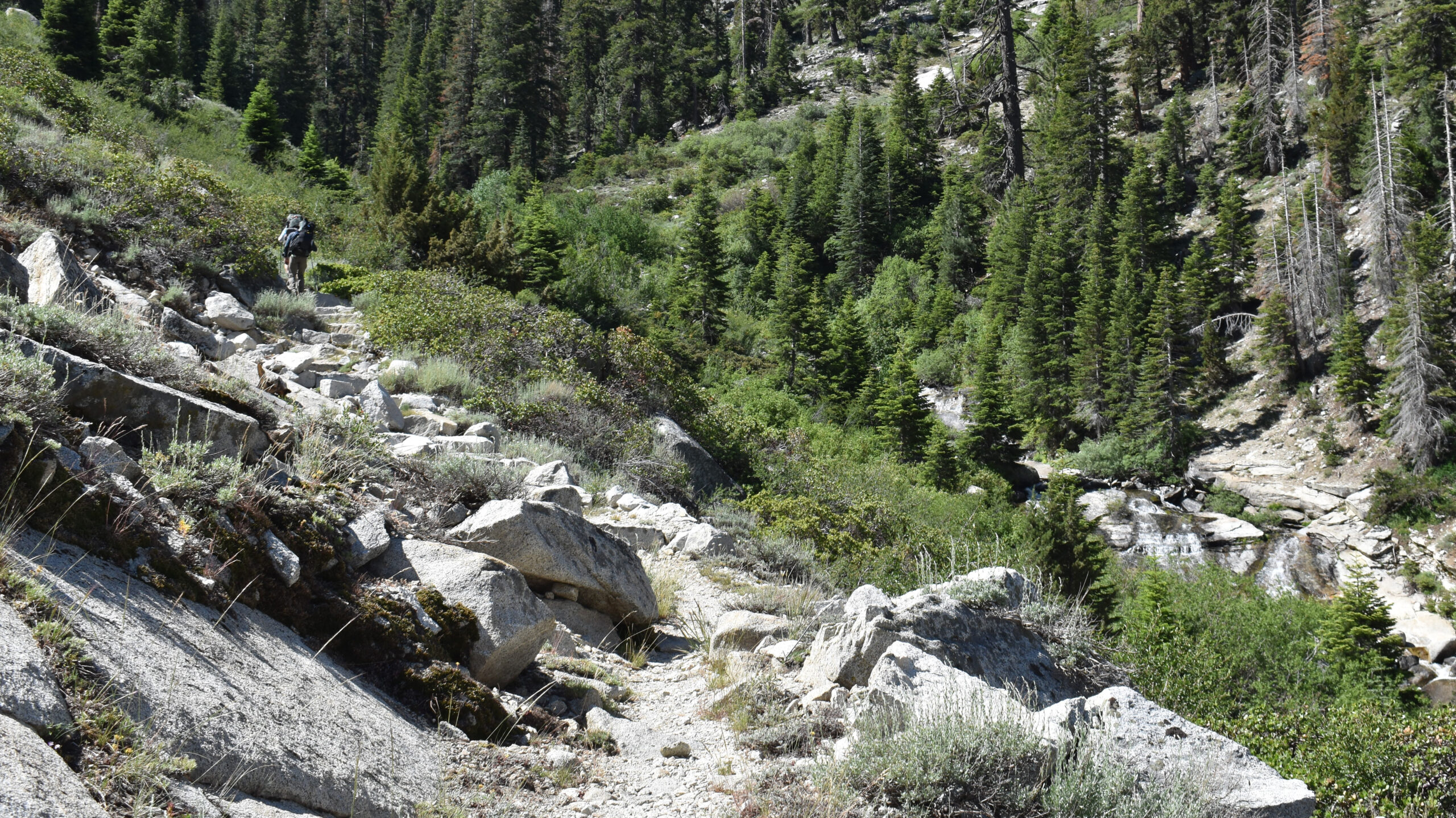
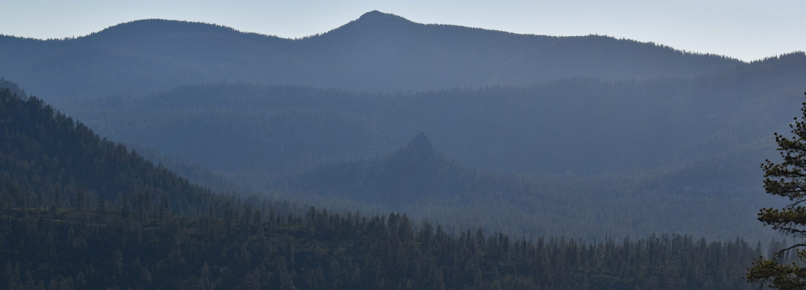
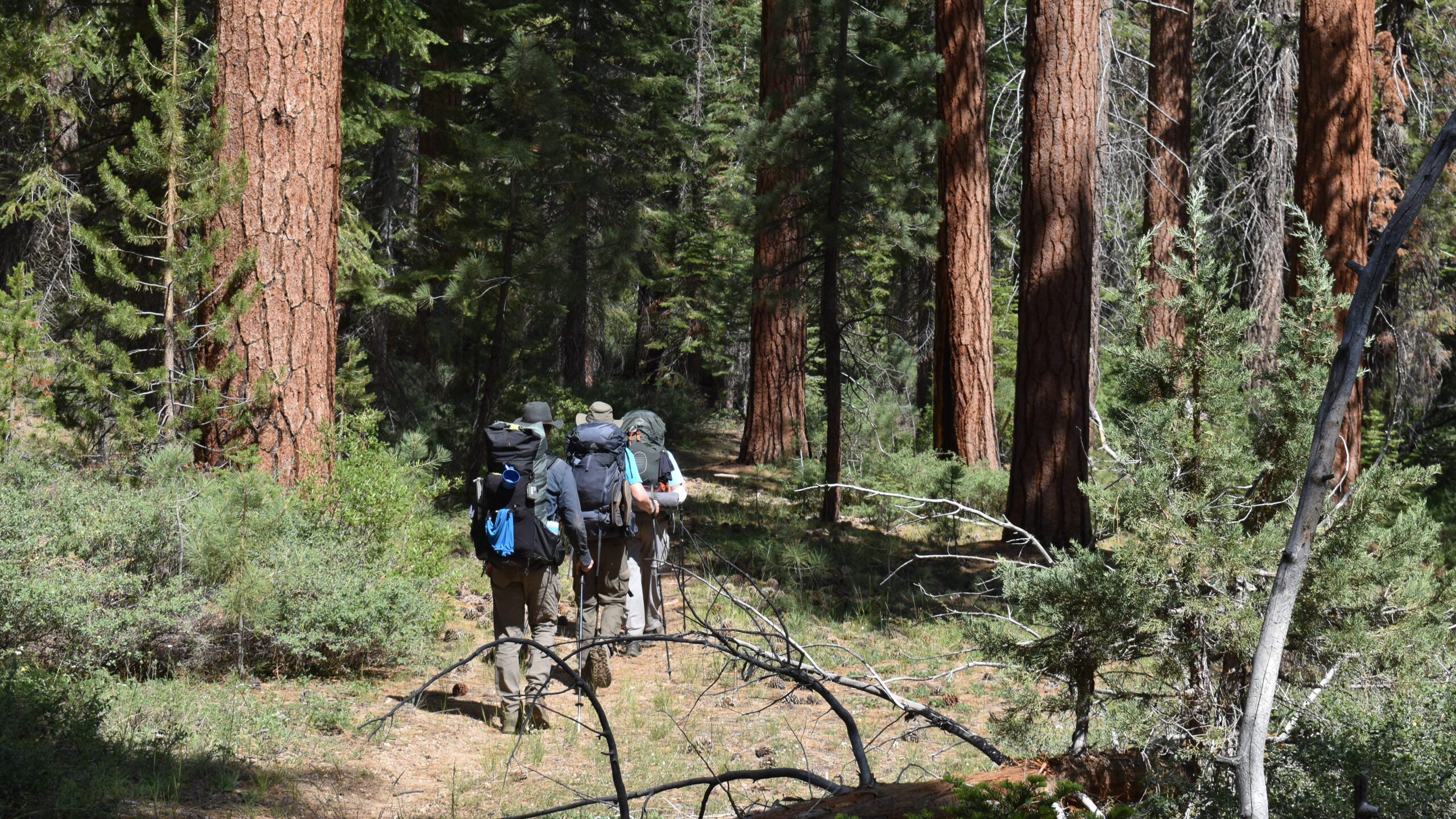
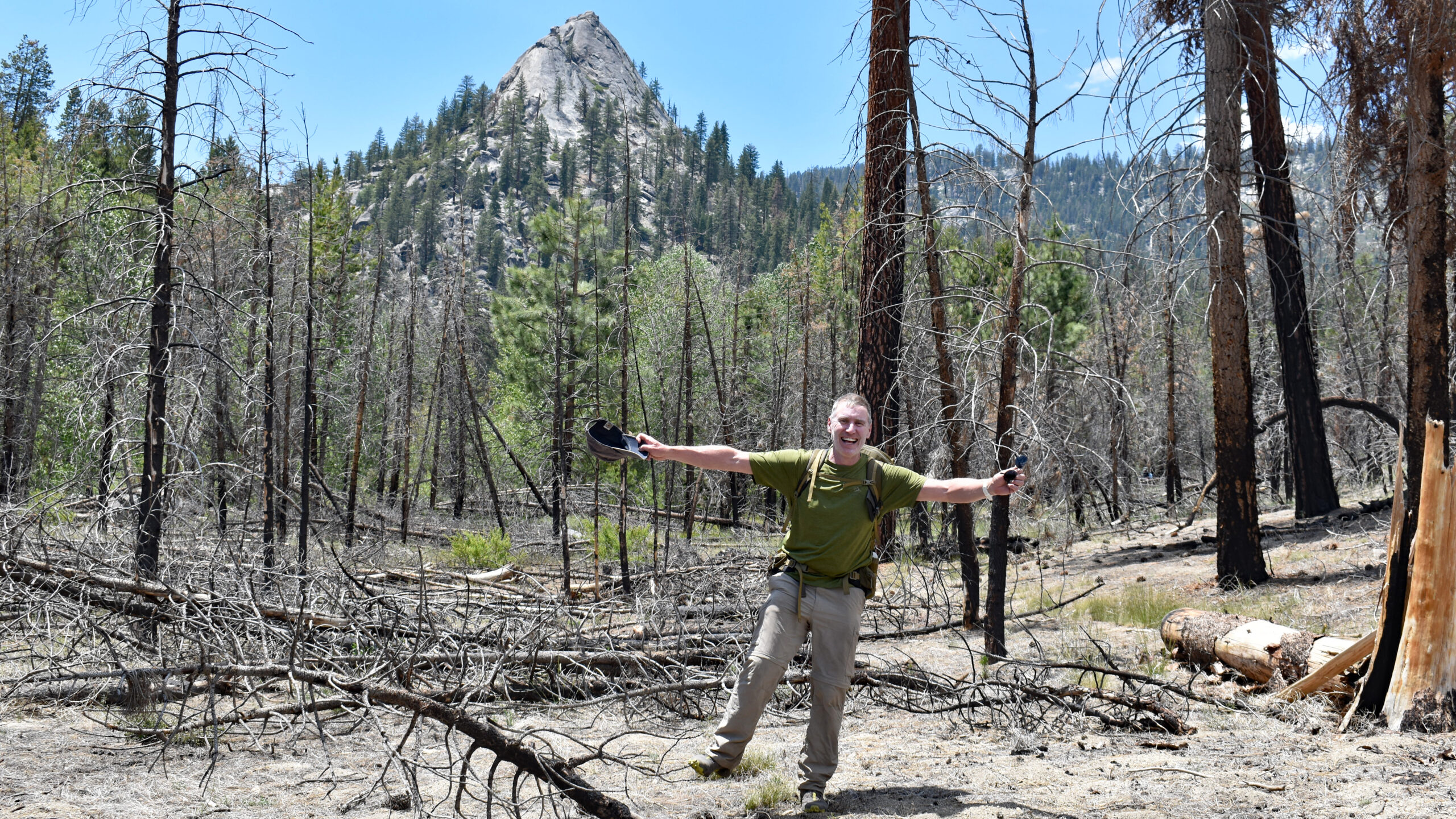
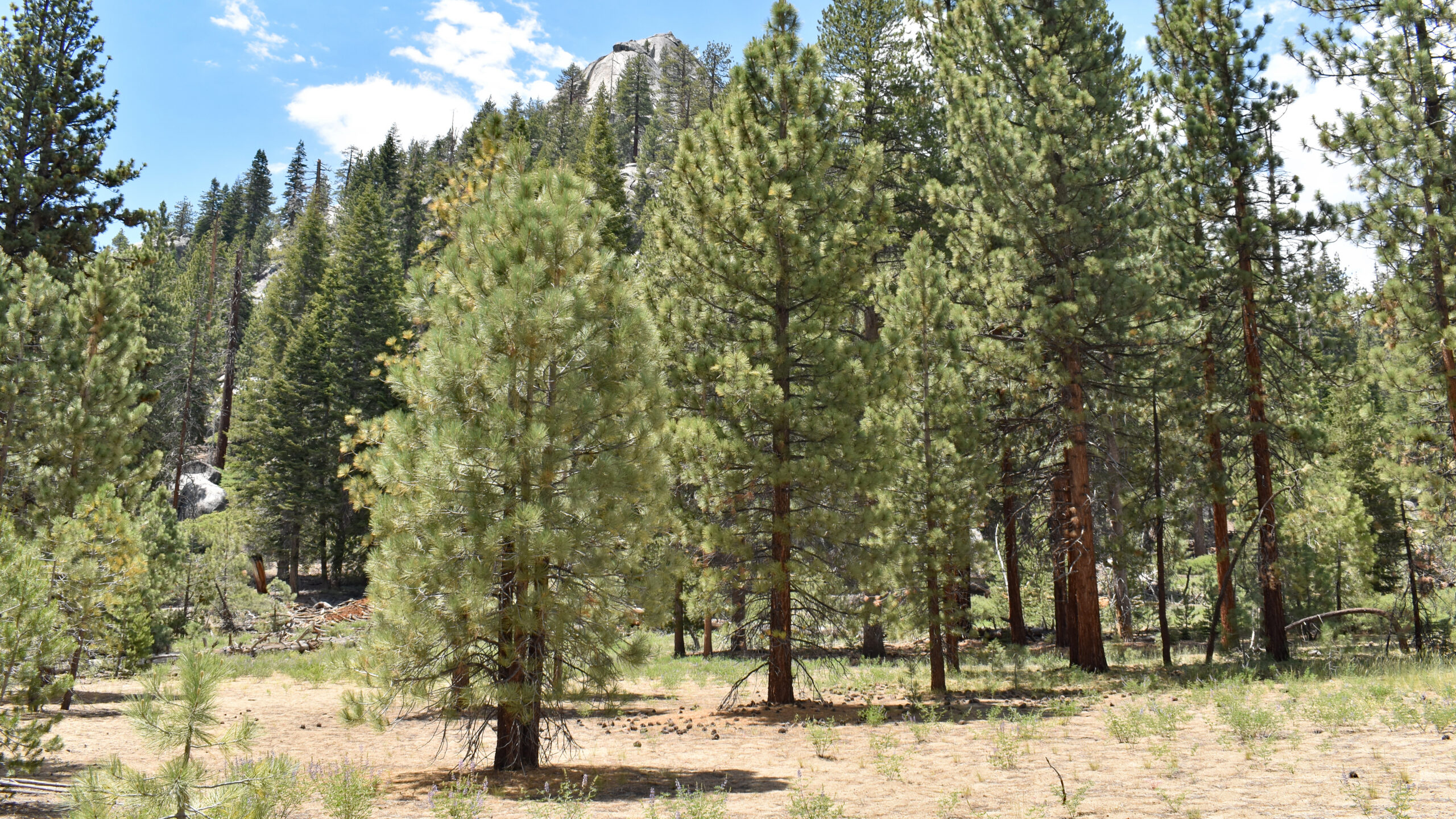
Like so many days hiking in the Sierras, there was diverse geography throughout the day. This wasn’t a spectacular route, but it certainly had its pleasures. The first few hours we were in a forest of red furs and white furs with some brief views of the Sugar Loaf Valley. Sugar Loaf Creek presented us with a nice lunch stop. The creek was pretty low but still required us to take off our boots. As we approached the Sugar Loaf, the floor was floral but was still suffering from the 2003 Williams Fire. This was my first return to the valley since 1992. Back then, I had a memorable, somewhat off-trail hike from Kings Canyon. Returning to this valley after 30 years was in its own way, a happy homecoming.
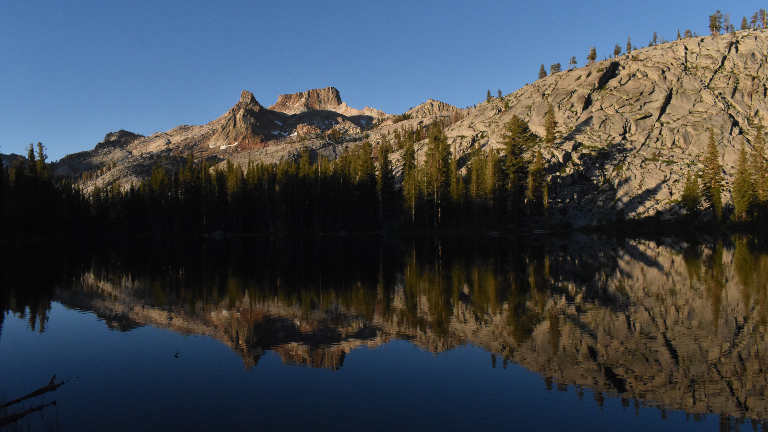
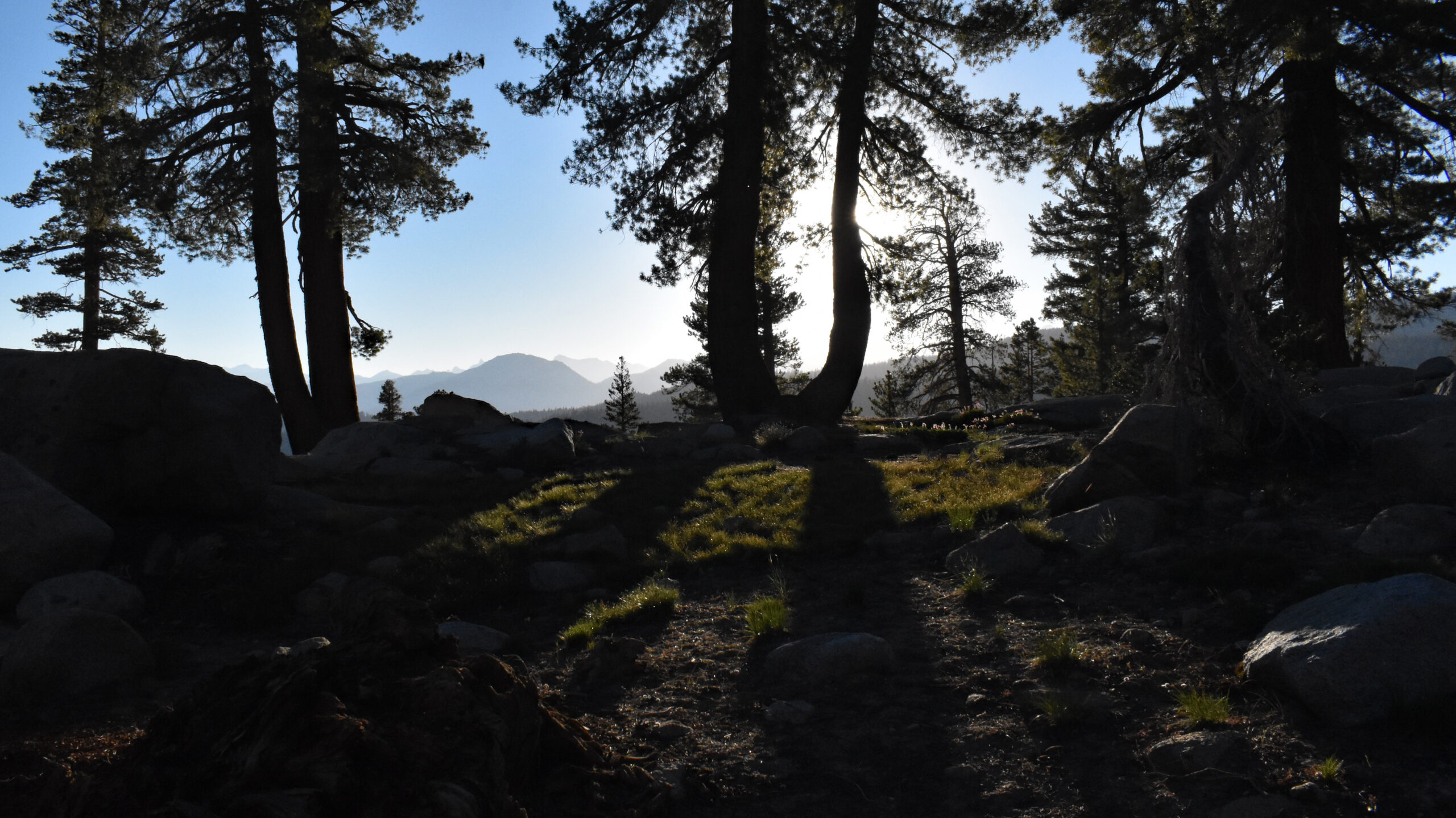
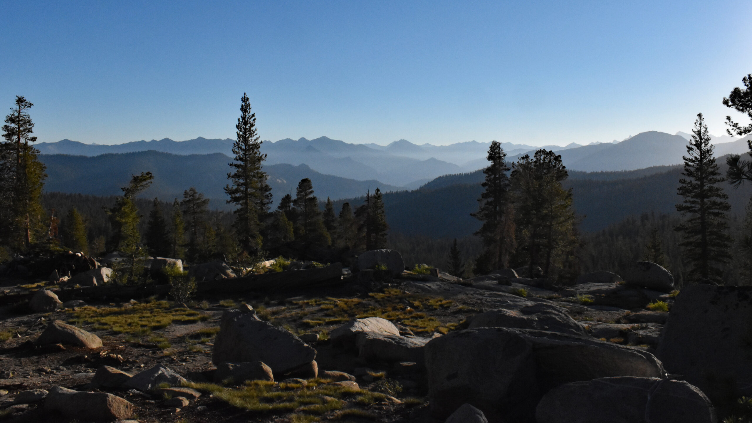
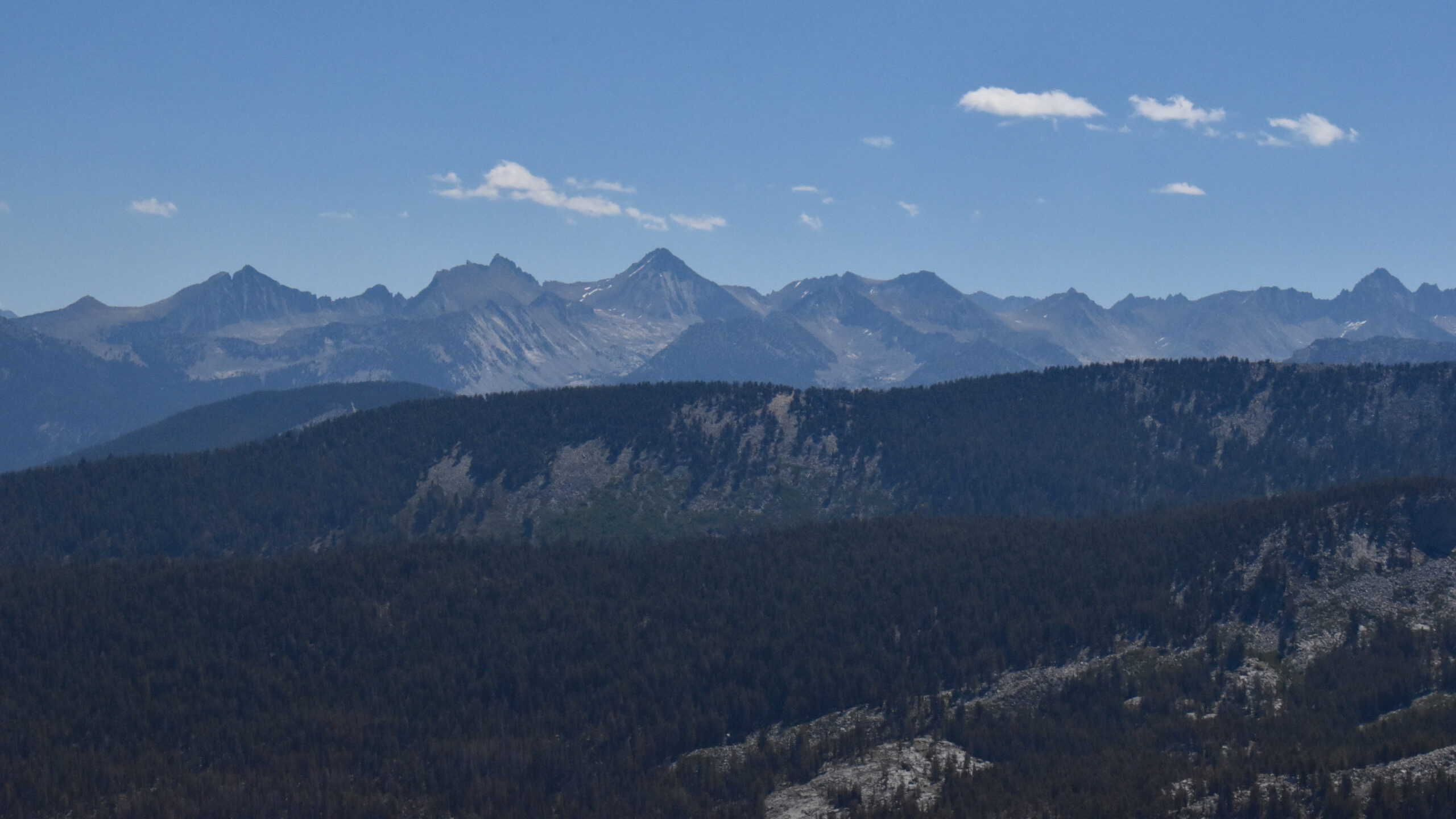
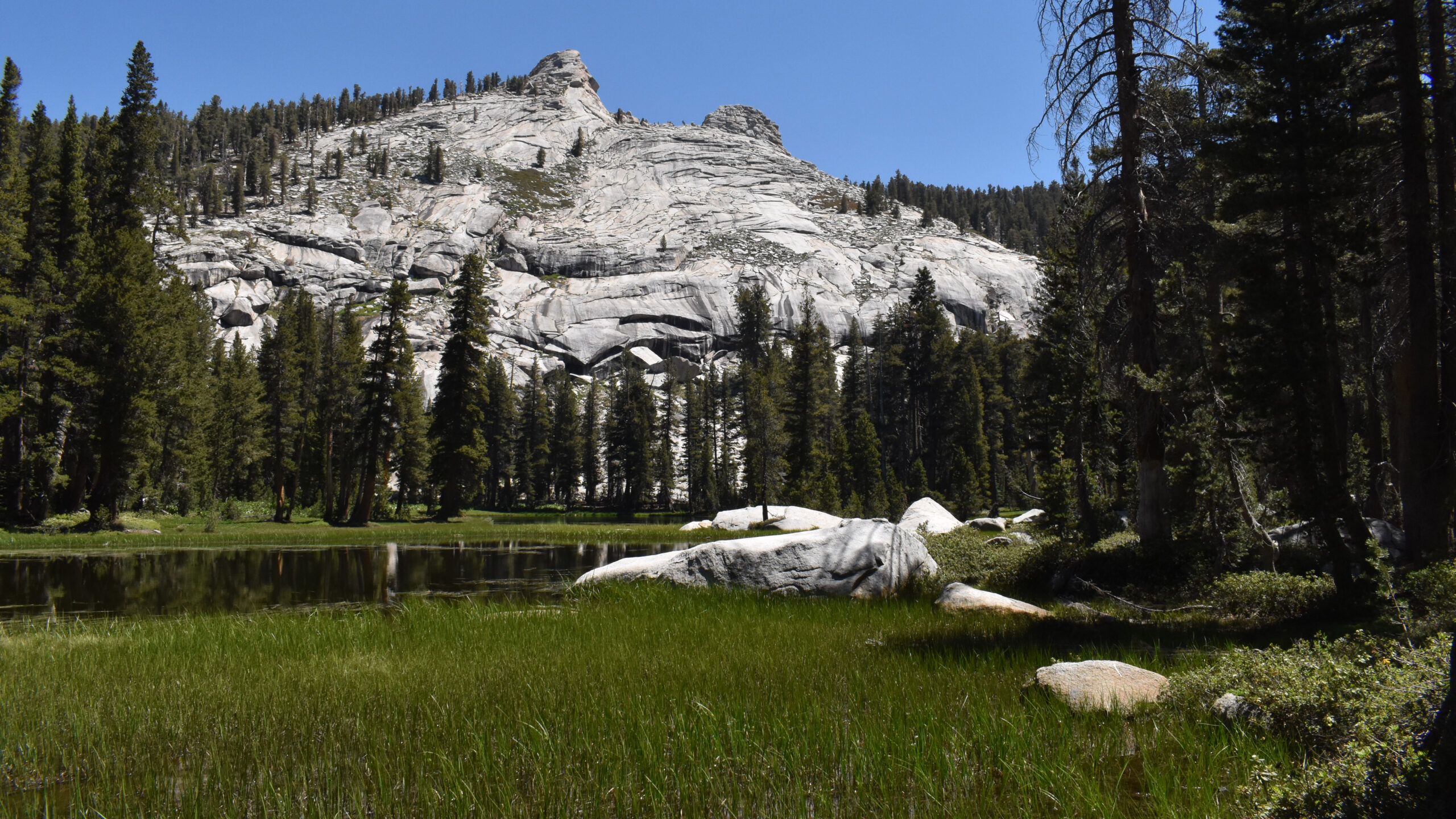
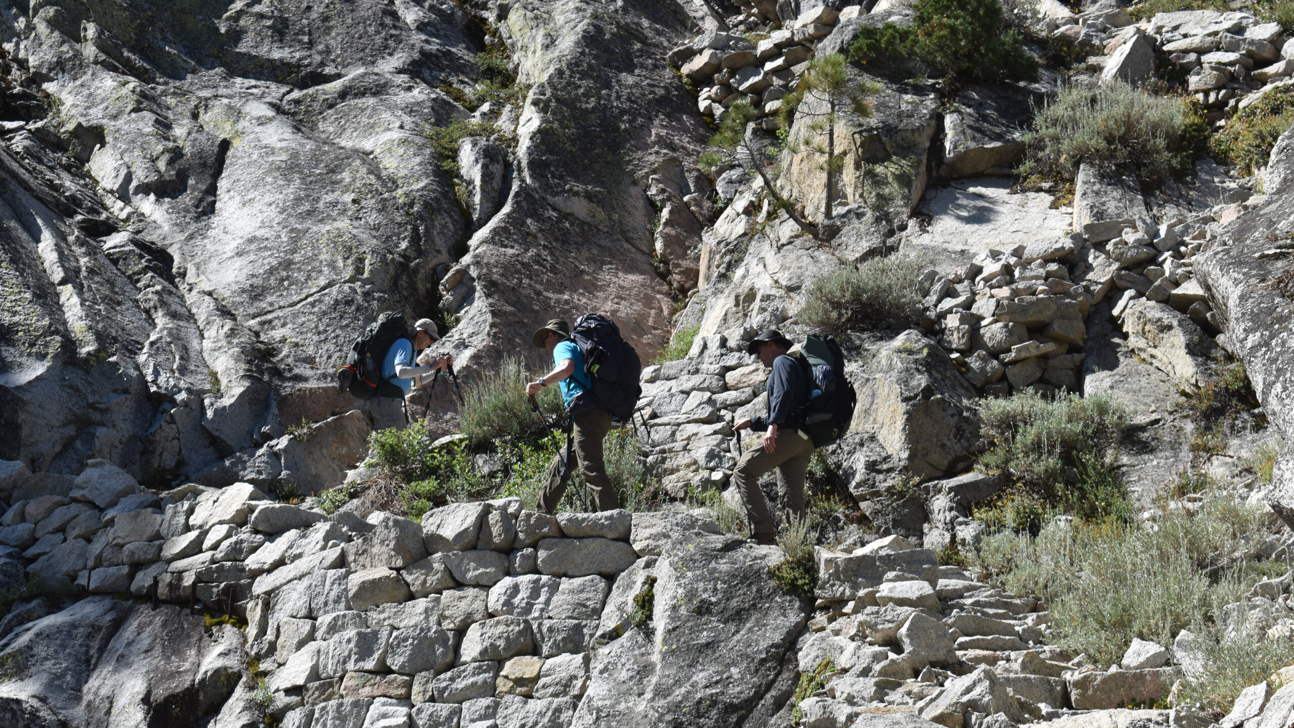
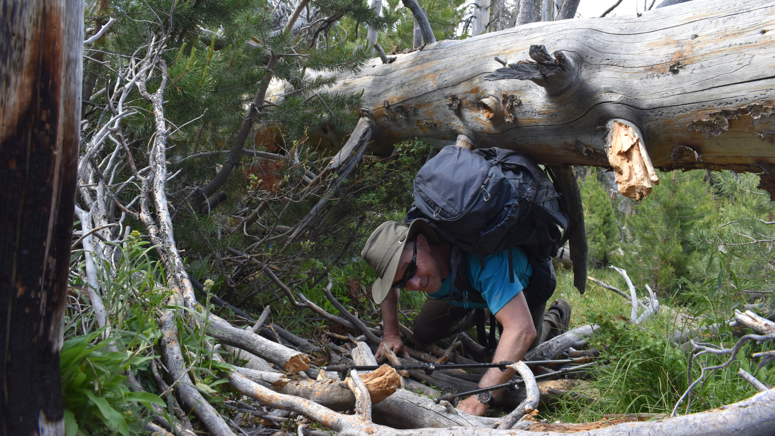
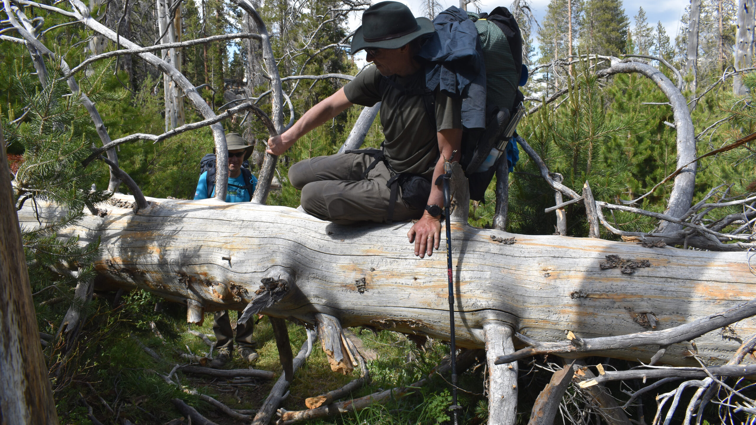
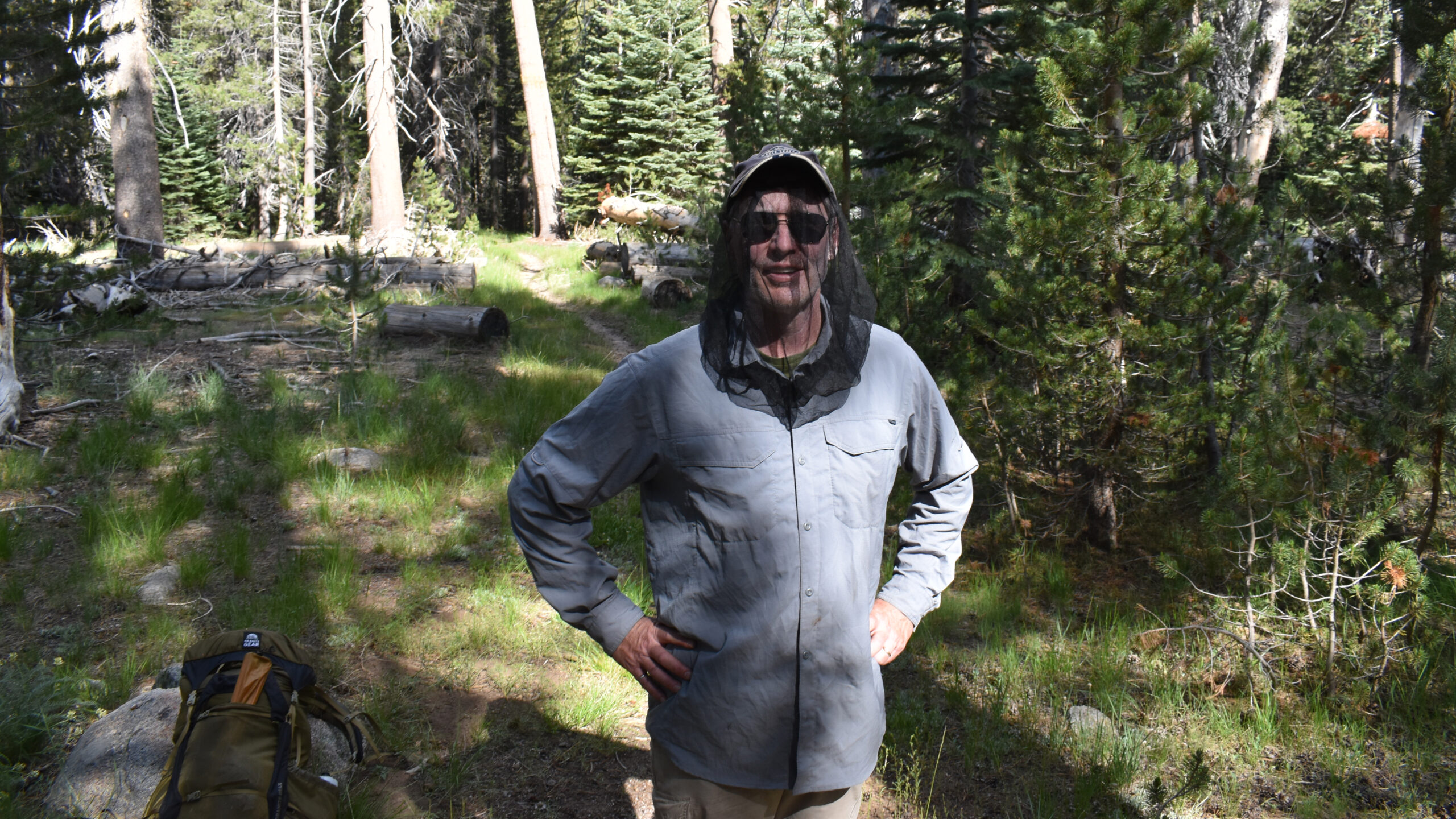
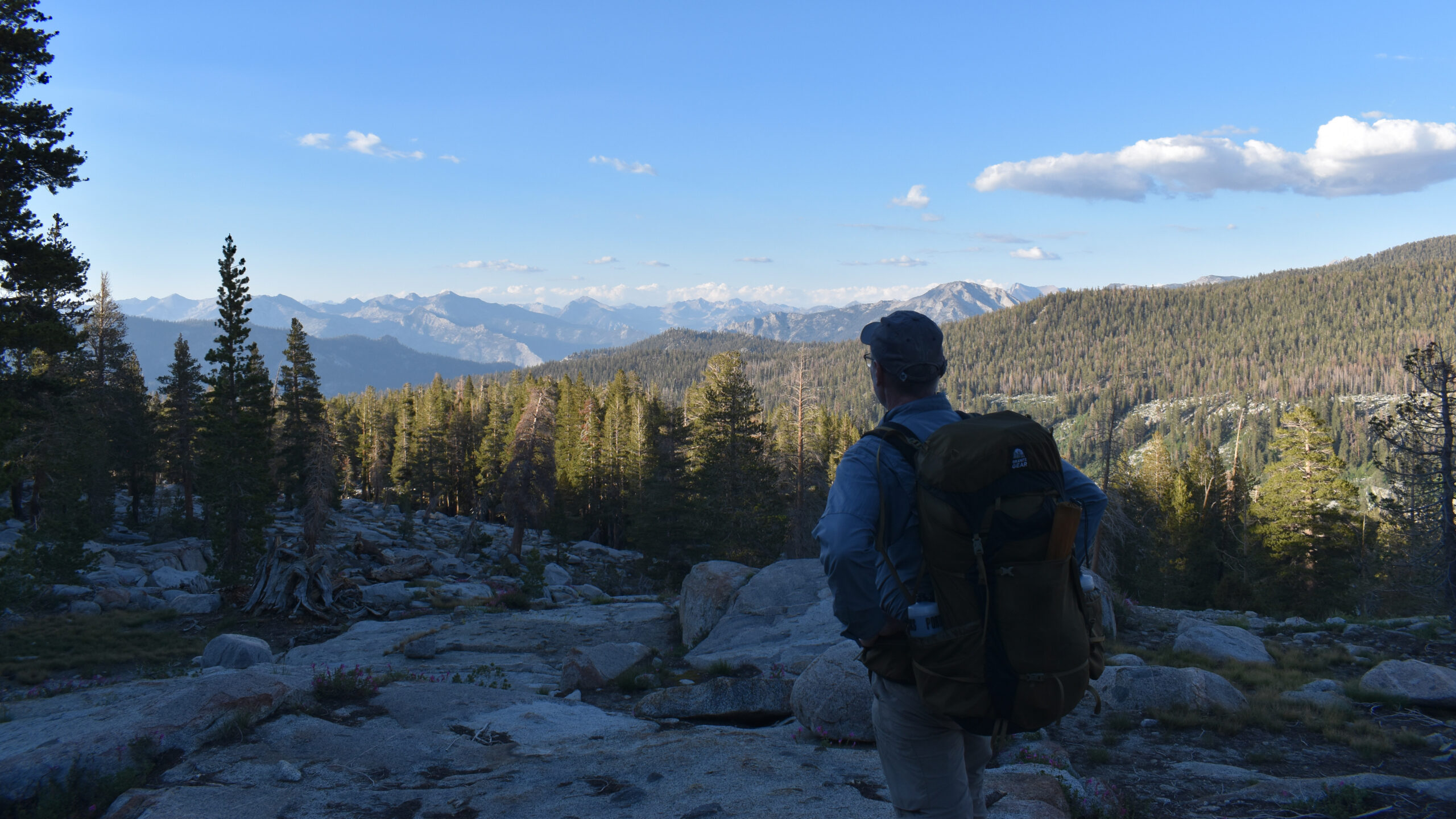
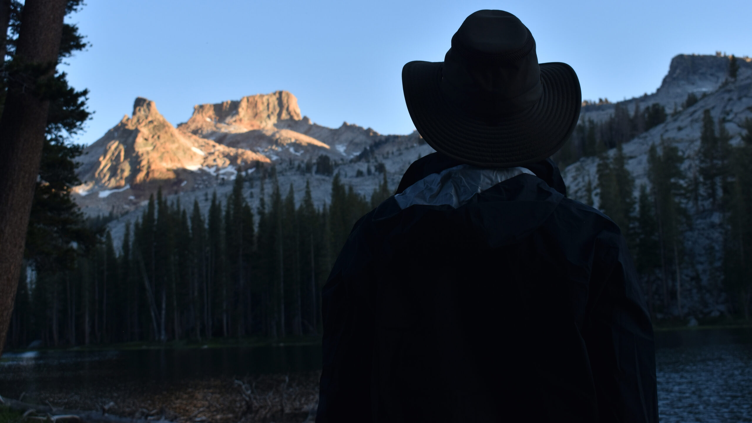
Our turn south, along the Belle Canyon-Comanche Cutoff, was a tough route and a challenge to keep positive. At times, we were on our bellies, finding our way through a mesh of trees, getting snagged and scrapped, swatting away swarms of mosquitoes; in mud, balancing over some more downed trees, .. yes it was a test. If you go, take this as a warning. But as we left the Cutoff, the views of the southern ridge line made this struggle worth while. The views to the east, of the greater Sierra range were equally inspiring. But once we arrived at Ranger Lake, I thought to myself, this was the experience we had come for – an alpine Sierra Nevada lake. Like so many lakes in this range of light, it was just sublime. But be warned, this time of year, it was buggy.
Day 5: Exit
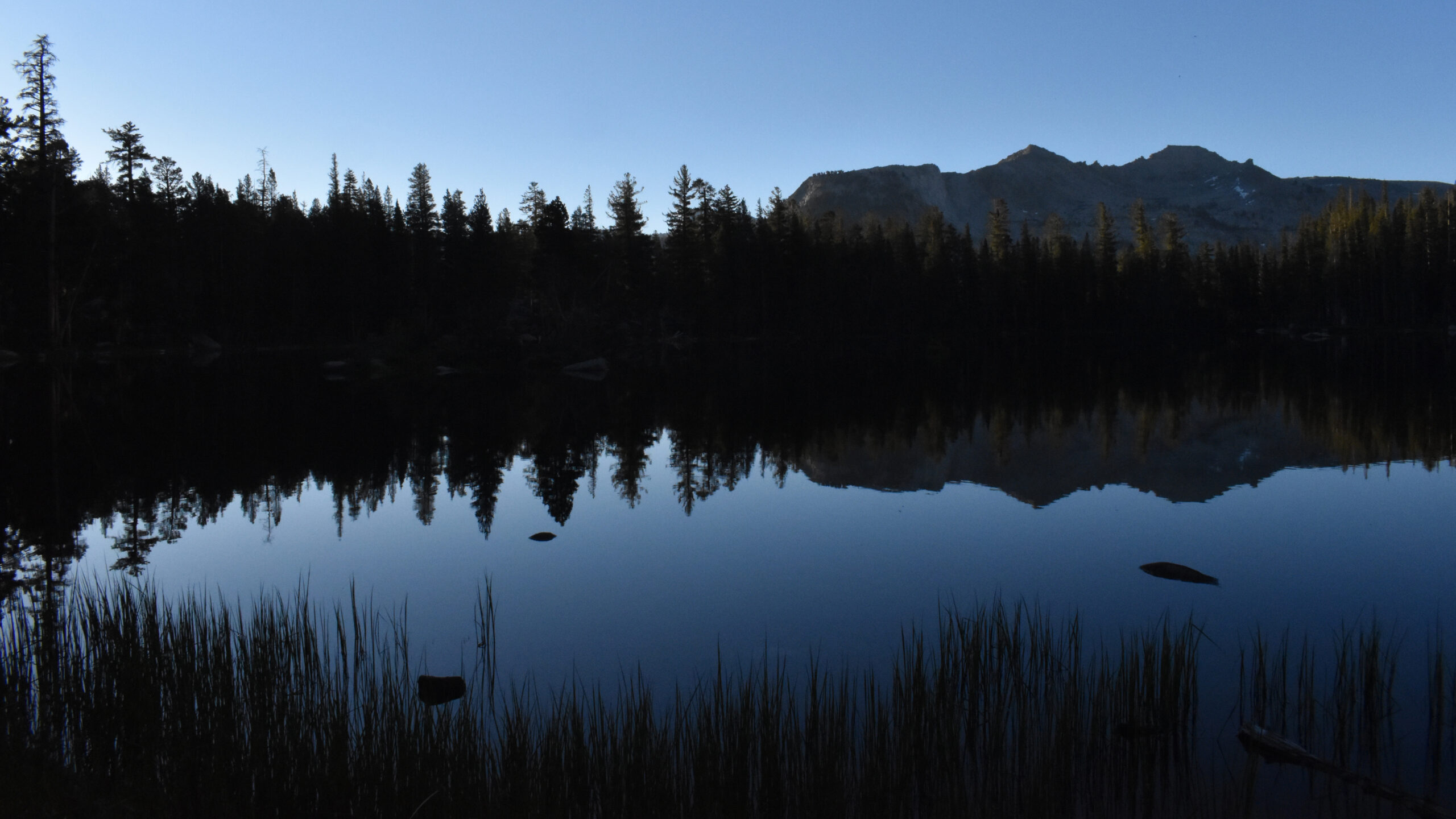
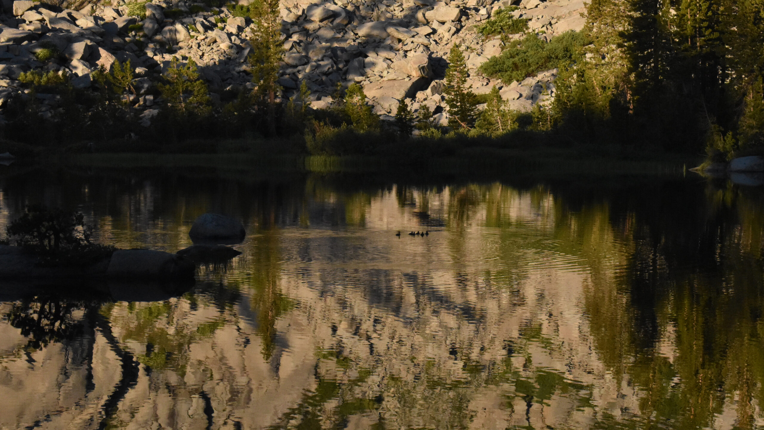
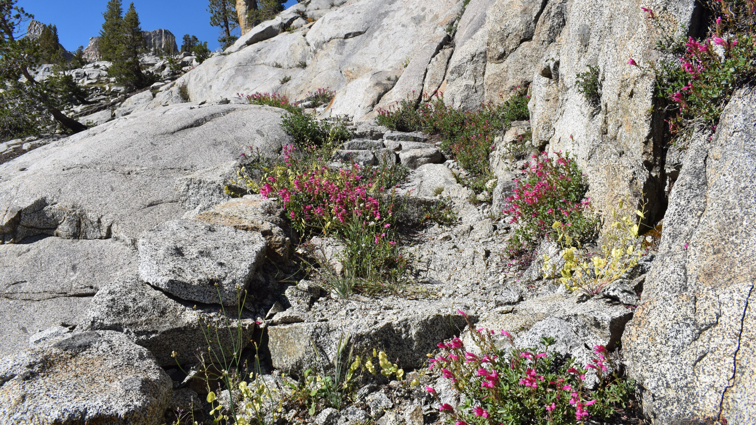
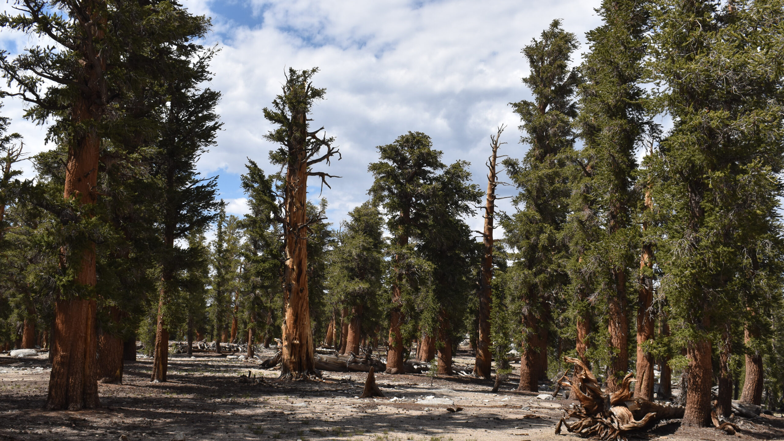
The Silliman Pass area is simply beautiful. The east side is flanked with 7 lakes, which included Ranger Lake. The west side includes Twin Lakes which the trail bisects. The pass gives views of the vast section of Sequoia and Kings Canyon National Parks. I think it is an ideal extended weekend destination. Good for a photo excursion, or a fishing trip or just a damn good sample of the Sierra Nevadas. Perhaps visiting all 9 lakes? This write-up has gotten a little long. I should have allowed more time to describe this section, but I let the few photos do the talking.
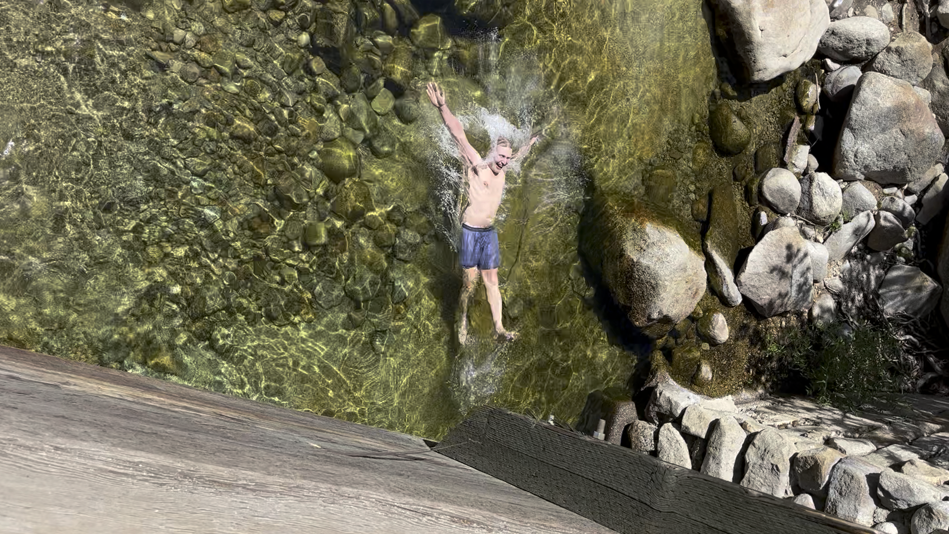
The one thing to note is that Jens arranged a pick-up time at 2pm. With our late start and our time taken to get over the pass, we were at Twin Lakes around noon. Somehow Jens reached the trailhead 5 miles away by 2pm. I had arrived 45 minutes later. I was pretty amazed at Jen’s hiking abilities. As we arrived at the Twin Lakes trailhead at Lodgepole Campground, we were greeted by the Marble Fork of the Kaweah River. We all went for a joyous swim that was a wonderful conclusion to our adventure.
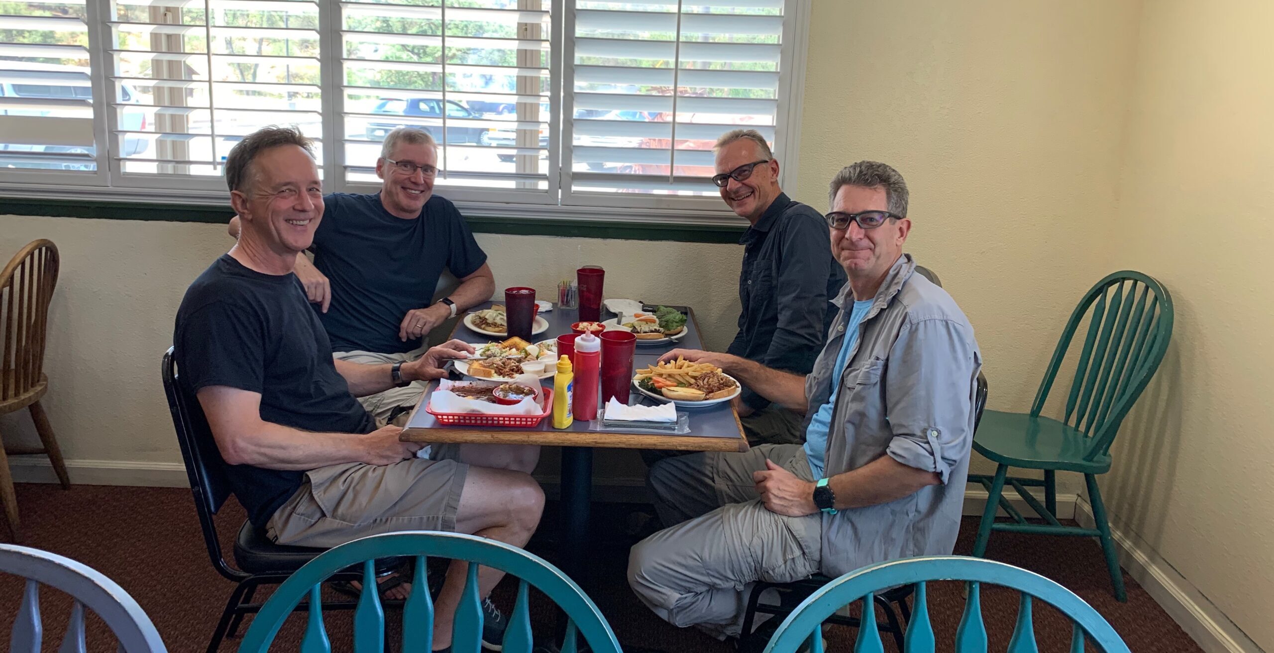
Jens, communicating with has wife on the effective Zoleo unit, had arranged transportation back to Kings Canyon with Three Rivers Transportation Service. This service is a one-man shop – Trent and his Honda CRV. He is very patient waiting for hikers, hospitable and generally is very knowledgeable about the trail conditions, closures and general operations of the parks wrt services impacting hikers. His prices are very reasonable. btw his Facebook page is a good source of knowledge too. For instance he kept his viewers up to date of the impact of the 2021 KNP Complex Fire as well as impact of the winter snow fall and floods during the spring of 2023. The four of us plus our packs fitted into his CRV nicely and we had a pleasant conversation as we drove back to Kings Canyon.
Late in the afternoon we rounded up at the Roads End trailhead and planned out our concluding meal at Di Cicco’s Italian Restaurant in Sanger, CA. Coming from the Bay Area, there isn’t many restaurants close to the north entry of the park. The selection is generally close to Fresno. Sanger is about an hour’s drive from the Park. A little carbo load in a local restaurant hit the spot. I do recommend.