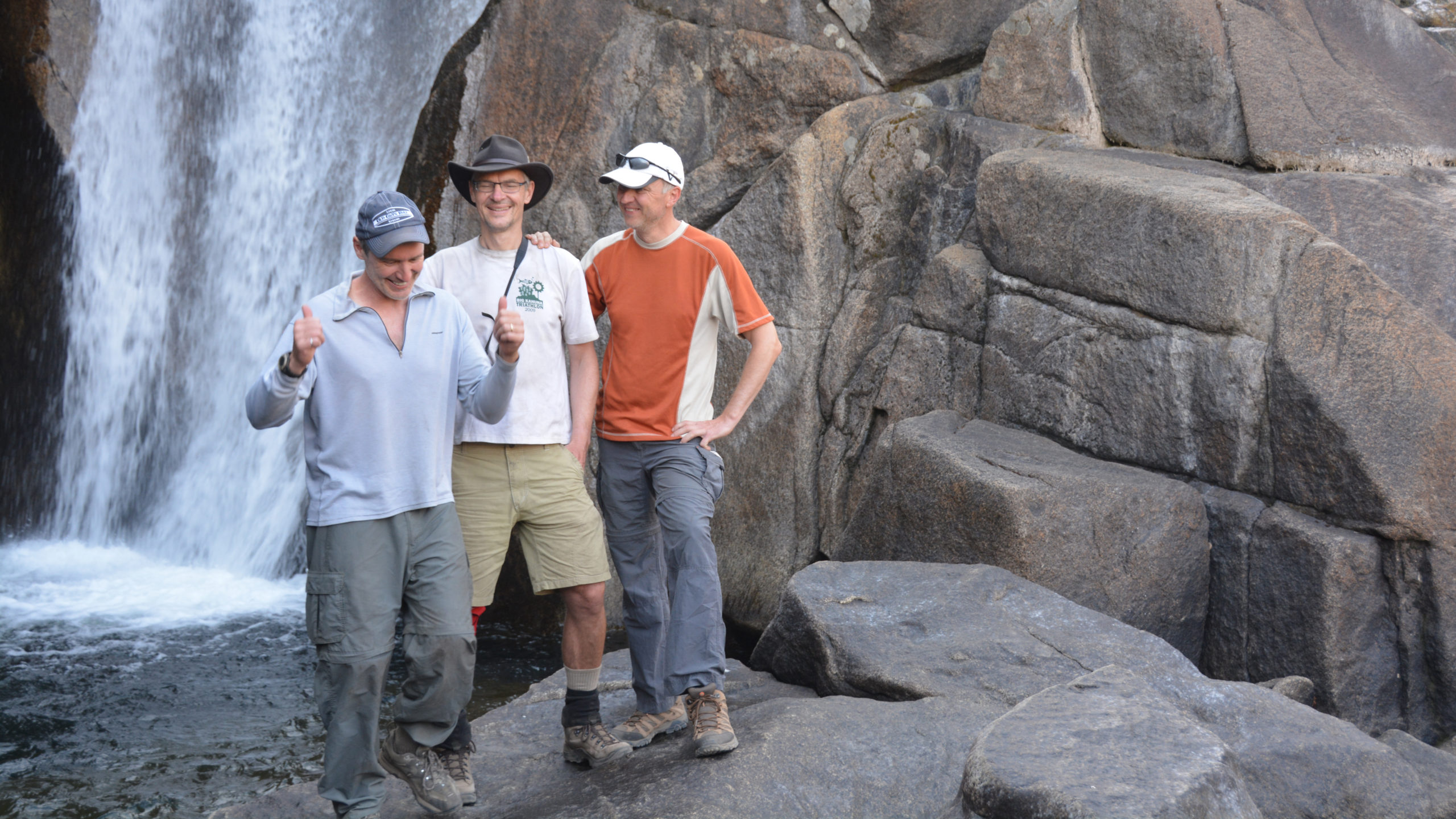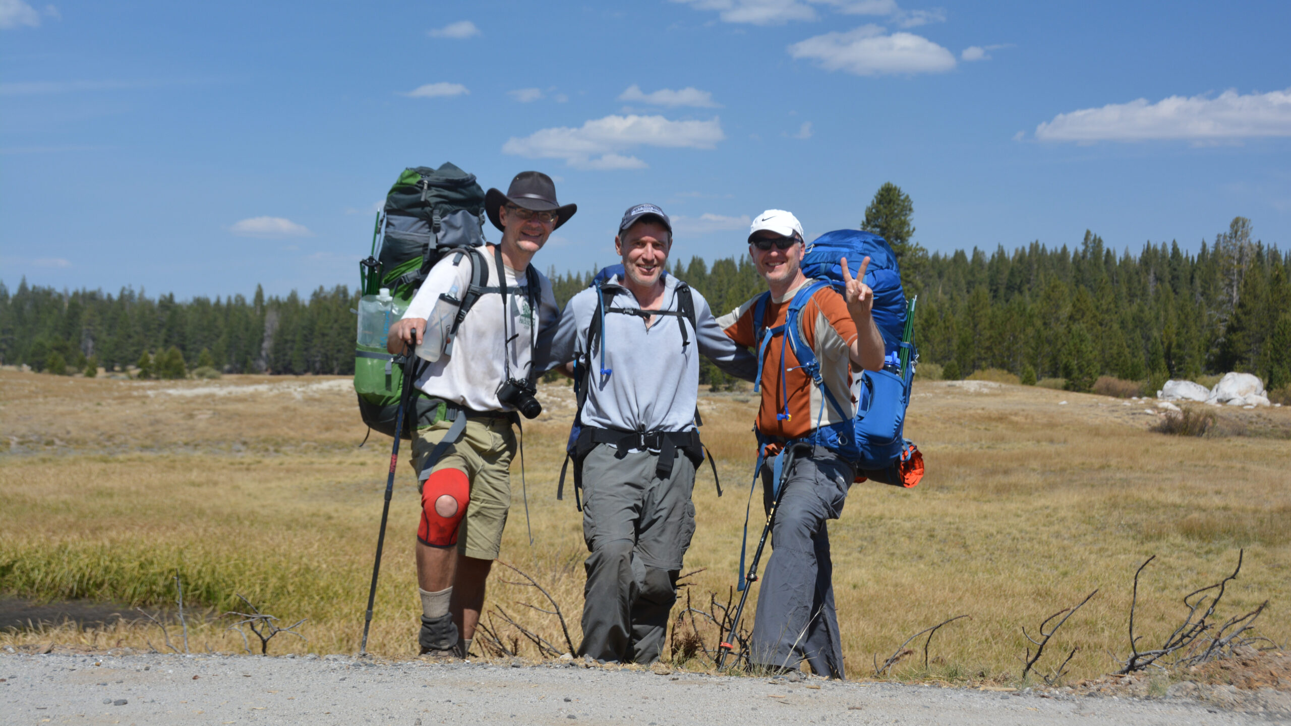
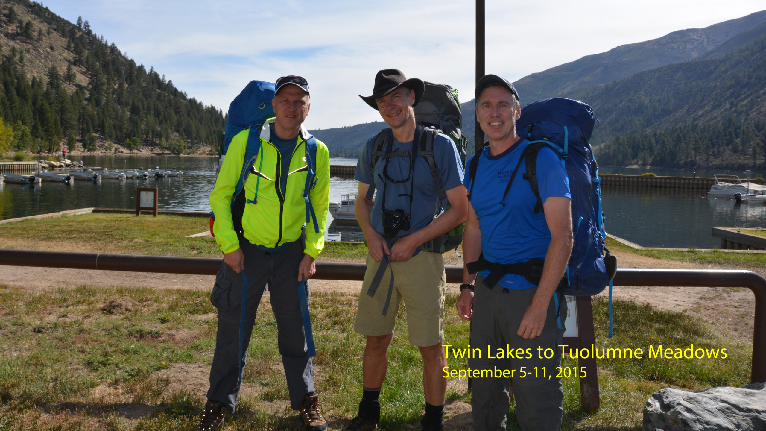
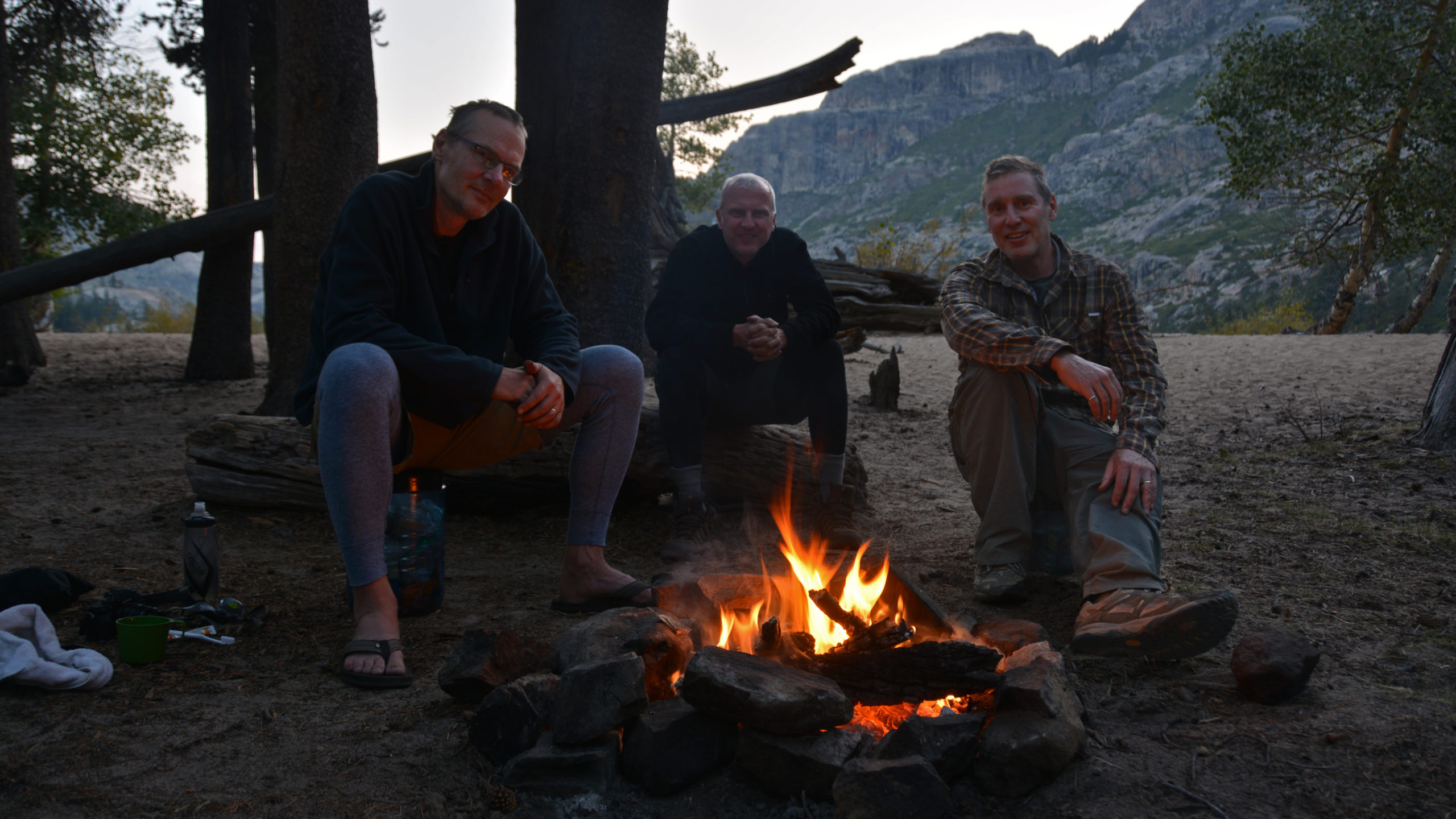
Jens, Walter & Jason
September 5-10, 2015
A technical description of this trail can be found a the JMT Northern Extension Trail Page.
Background: In 2015, with permit in hand, we were set to explore the Rae Lakes. But this year, as with many years to follow, our hike was cancelled by wildfires. The Rough Fire was raging at the entrance to Kings Canyon. We were forced to seek an alternative. The previous winter, I had been toying with the thought of a “northern extension” to the JMT. It was now time to put this plan into action.
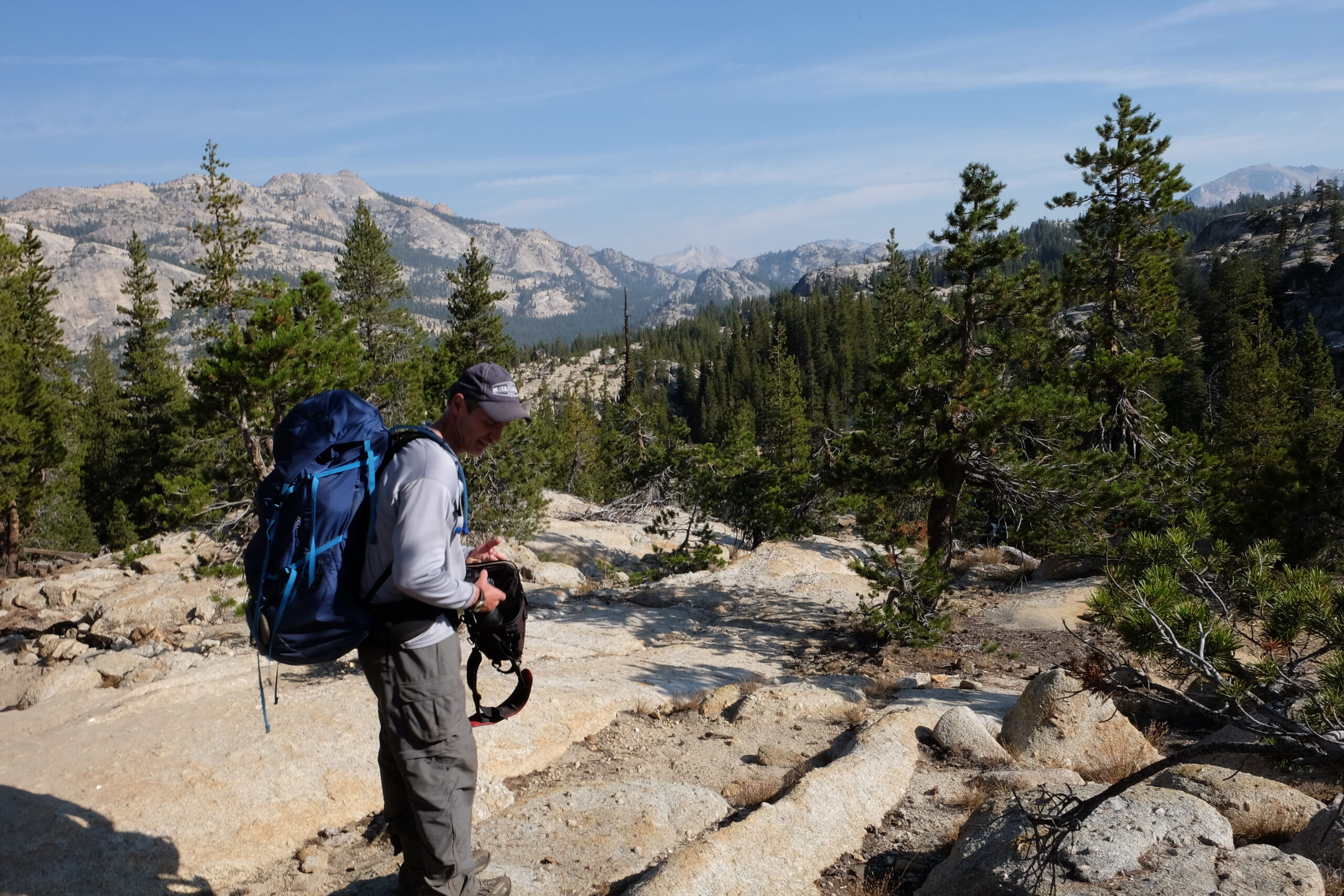
With some perspective, this hike was certainly a learning experience. I had spend decades thinking that chasing a puck around the ice was sufficient to keep myself in shape. During the later part of this hike I learned otherwise. Beyond my conditioning limitations, I was slowly learning the merits of traveling with a lighter pack. Now-a-days, when I look at the photos of my pack on this hike, I just laugh.
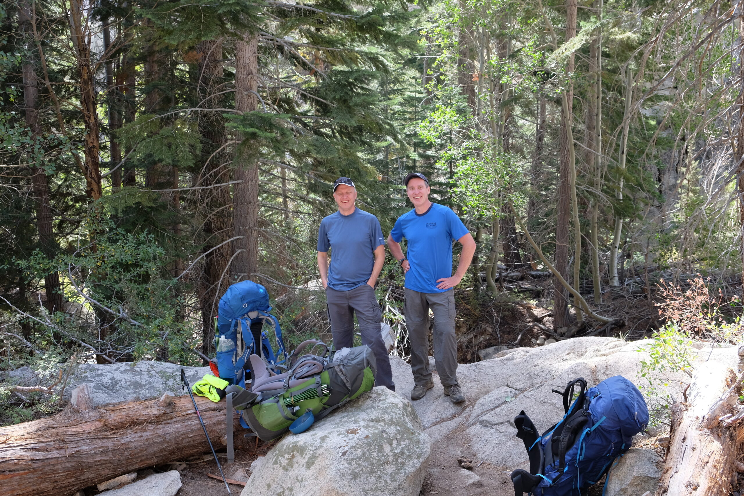
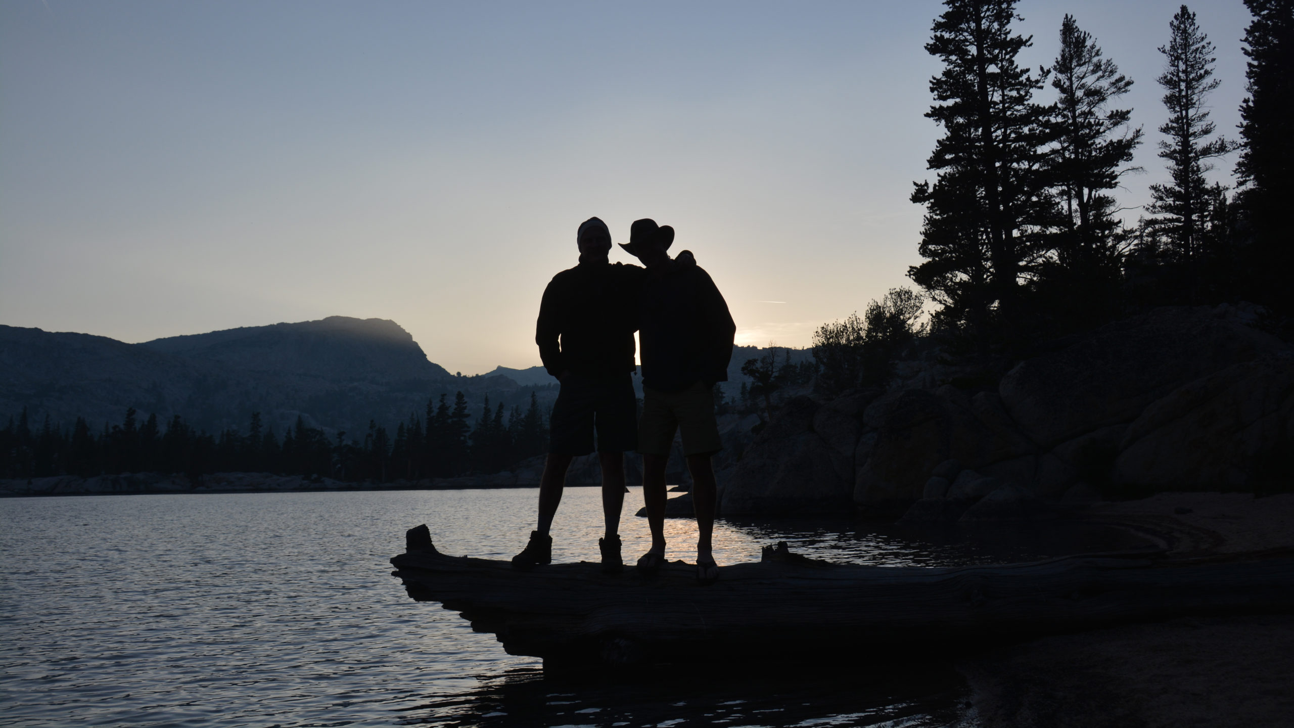
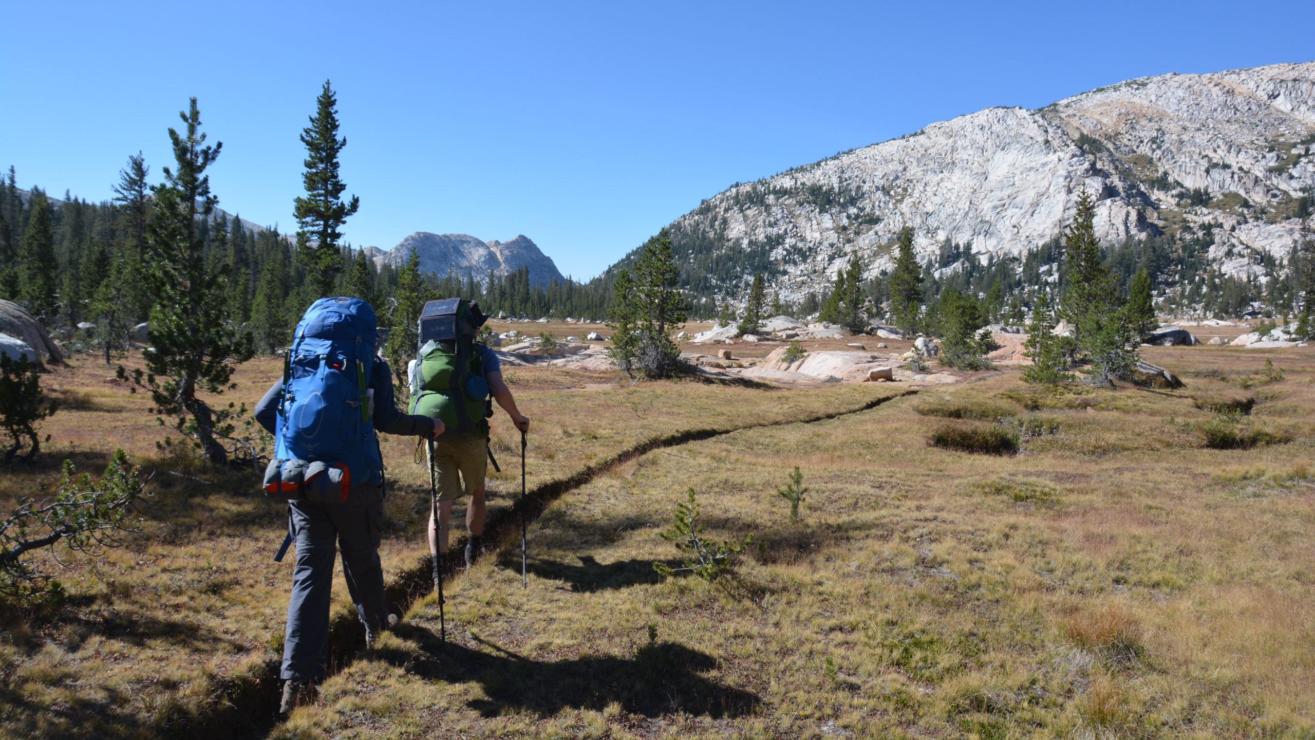
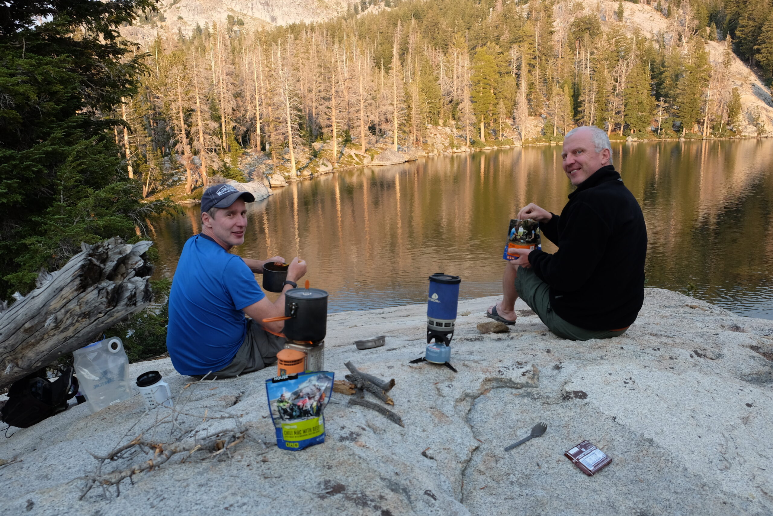
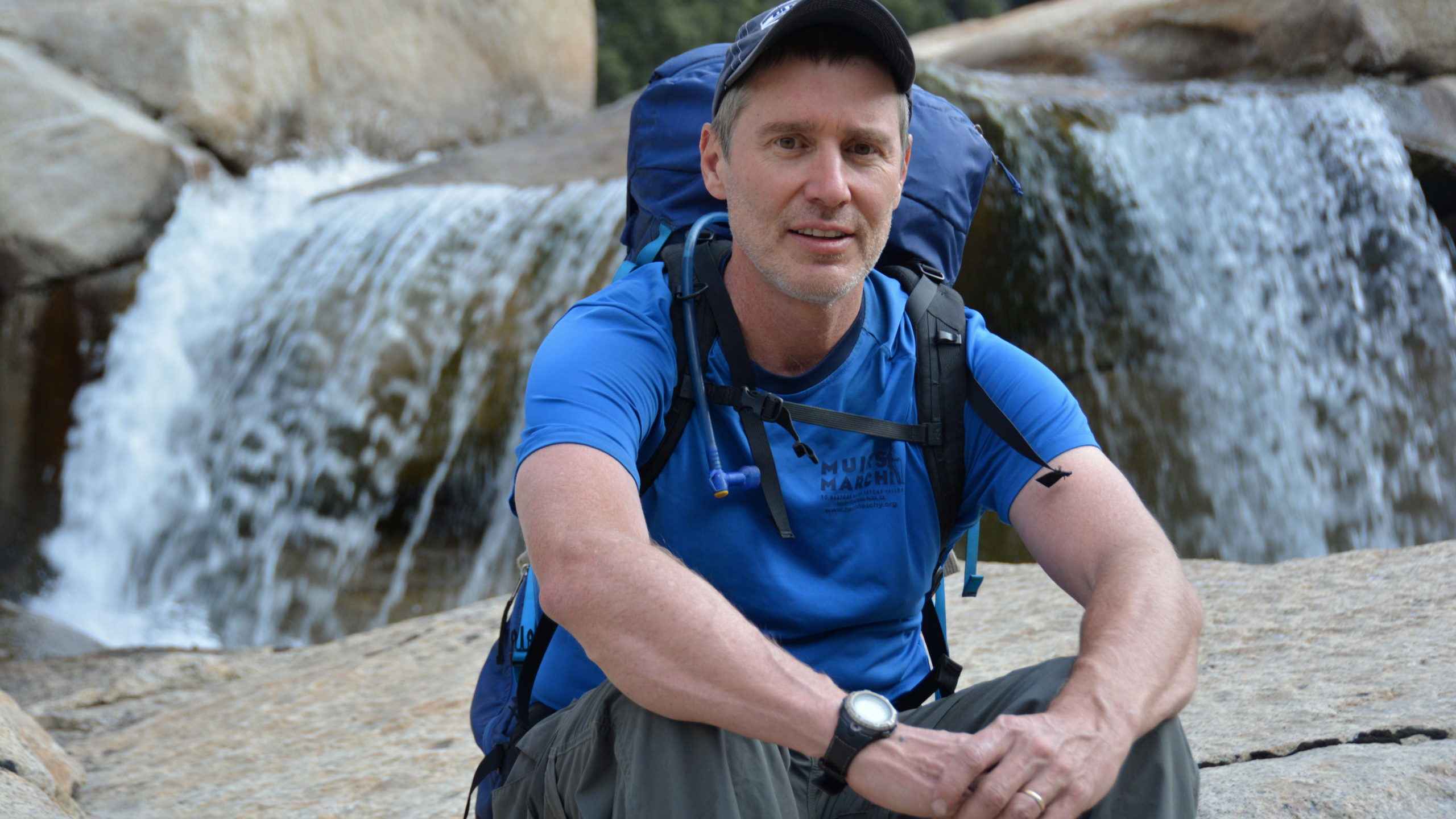
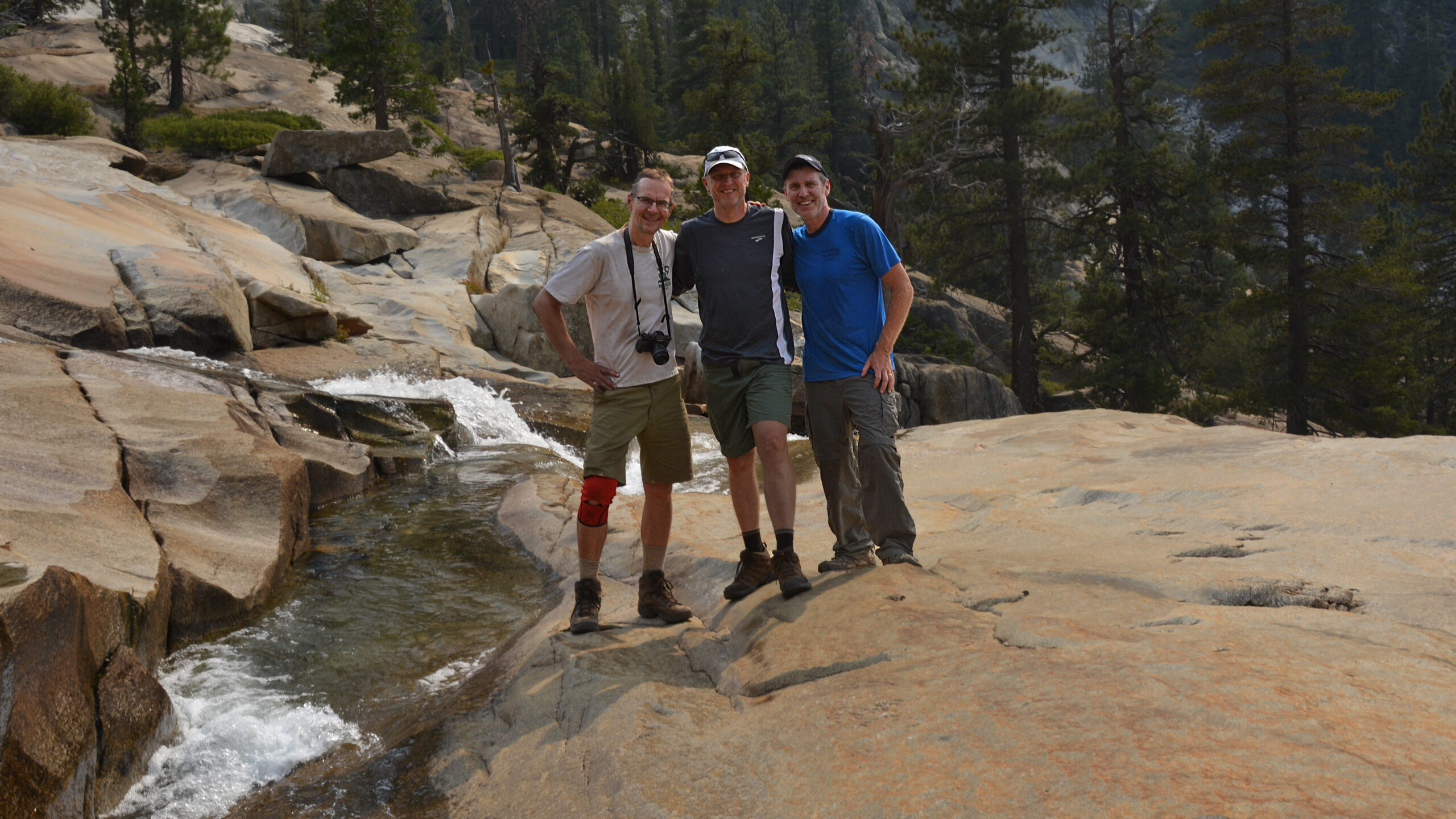
My hiking companions on this hike were Jens and his long time friend Walter. Both are active cyclists and were in exceptional shape for this hike. I think this hike was well timed for Walter as he was undergoing some changes in his life. Jens was steady as she goes and kept us at a brisk pace and as always, graciously awaited for my arrival. This was relatively new territory for the three of us. That in itself brought an energy to the trip. The drive from Tuolumne to Bridgeport seemed long. The thought probably entered each of our minds .. could we actually hike the whole way back? In any case, we were a fine team and there was an air of adventure to our trip.
For long periods of our hike, a high pressure system sat over Nevada churning the winds northward in Central Valley. Consequently, smoke from the Rough Fire made it our way. There were also some controlled burns ongoing in Yosemite as well. Years later, we can feel fortunate about these controlled burns. As for the Rough Fire, it would be first of many major fires that would impact our hikes.
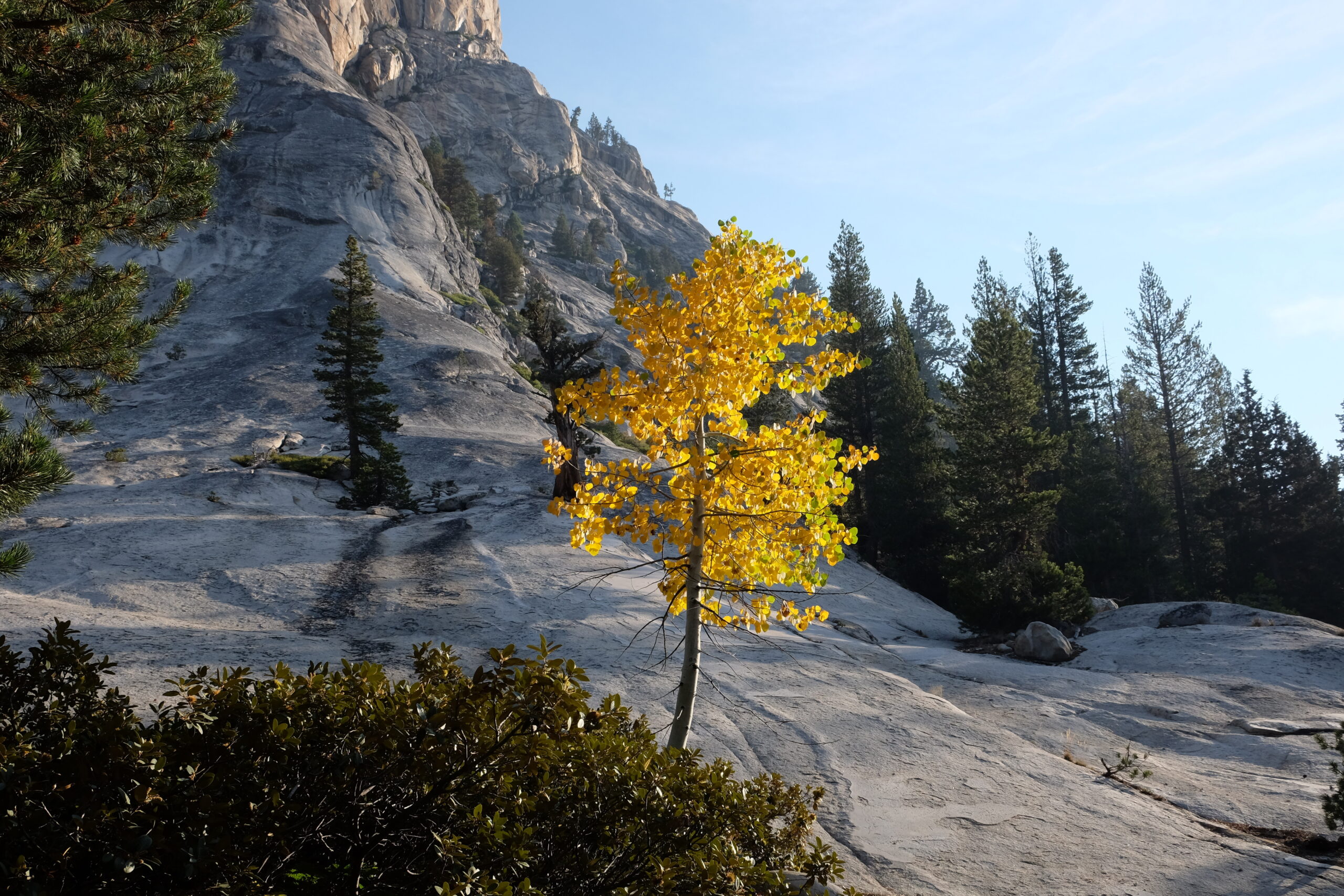
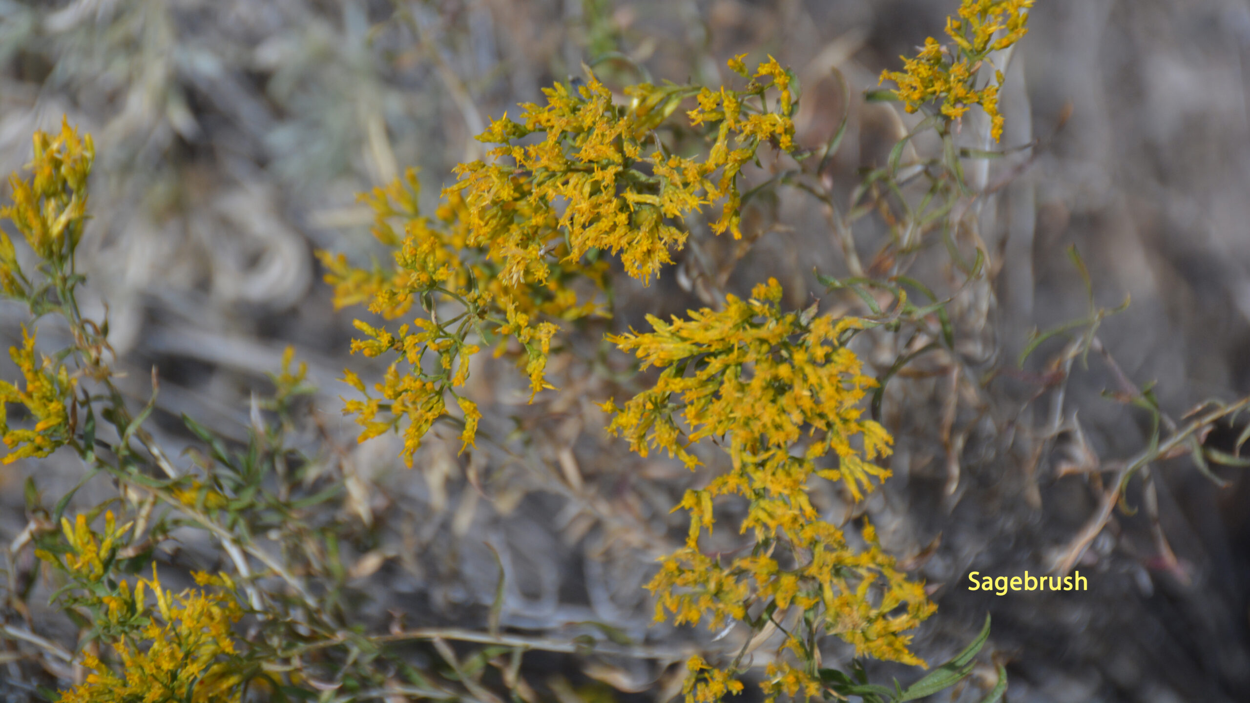
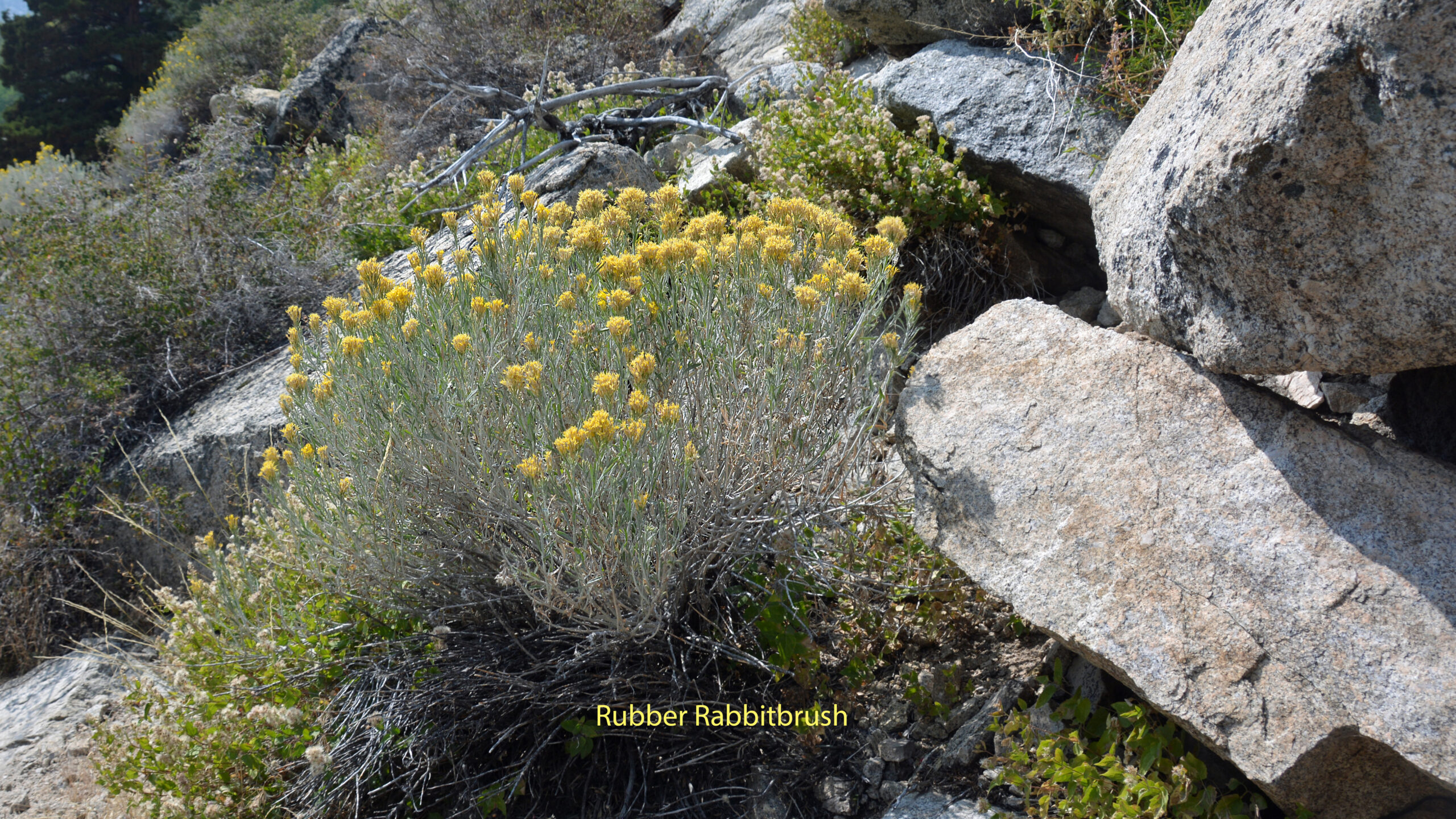
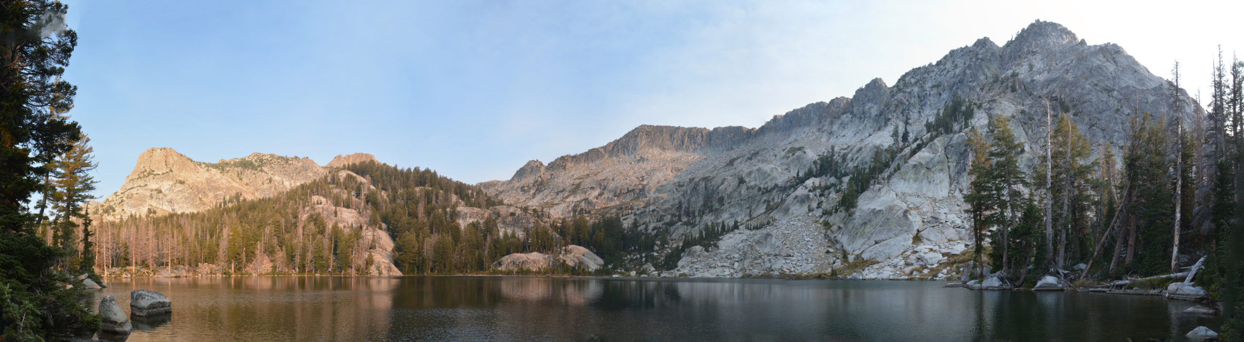
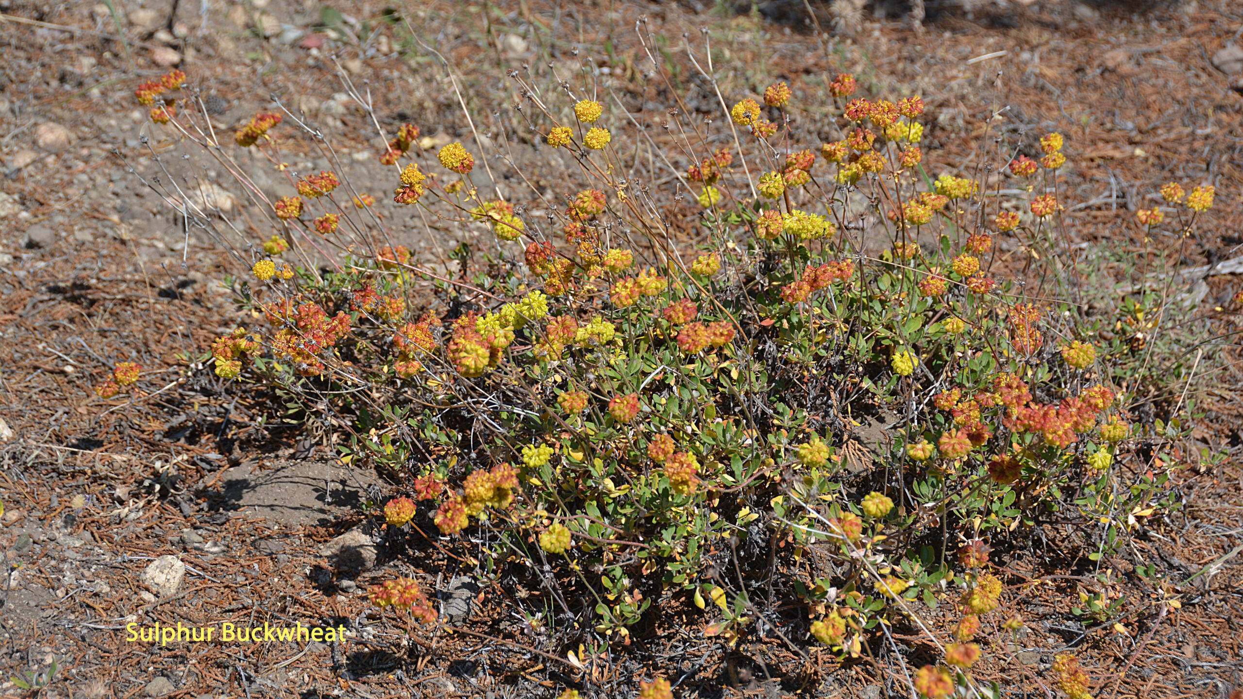
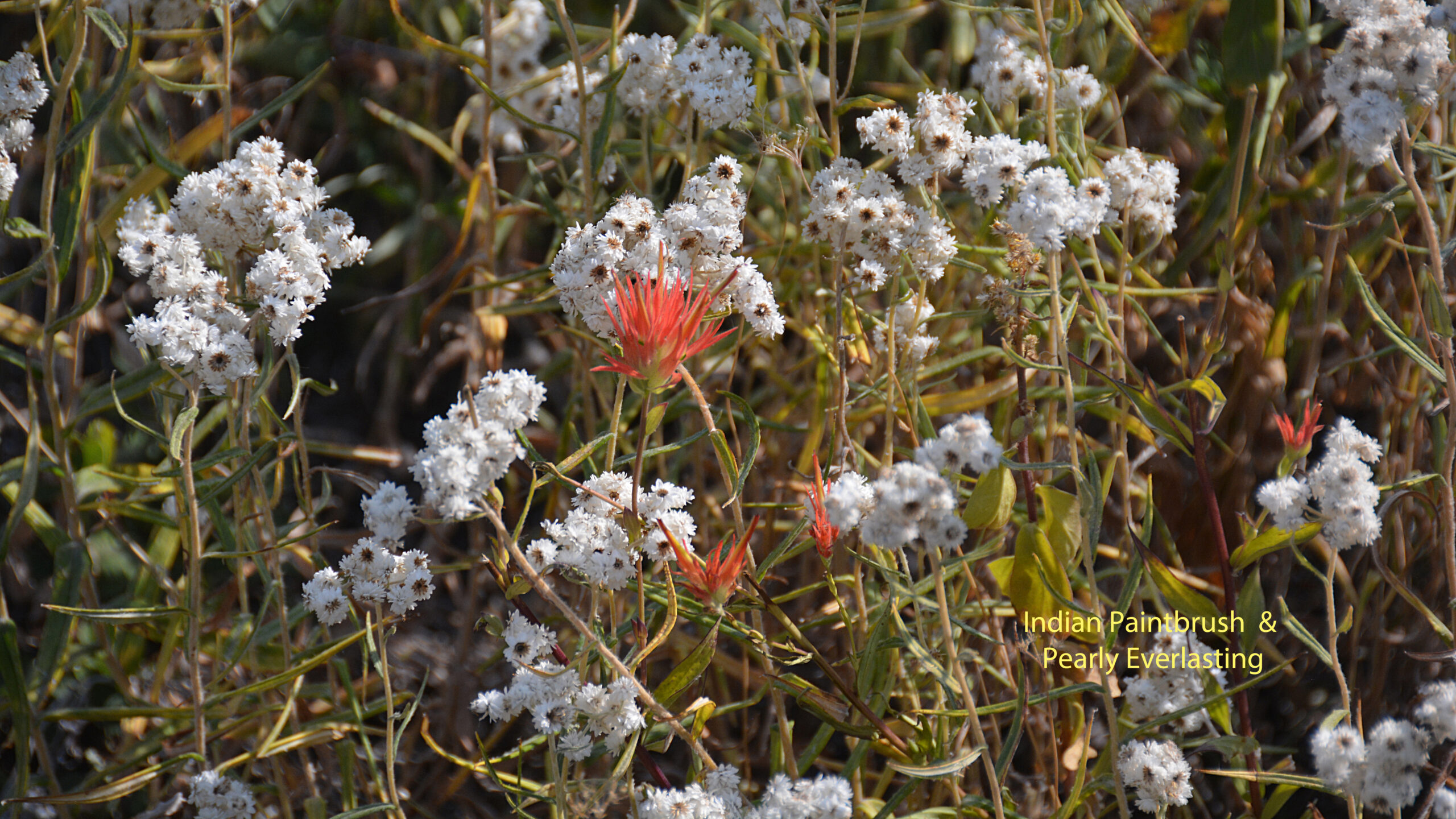
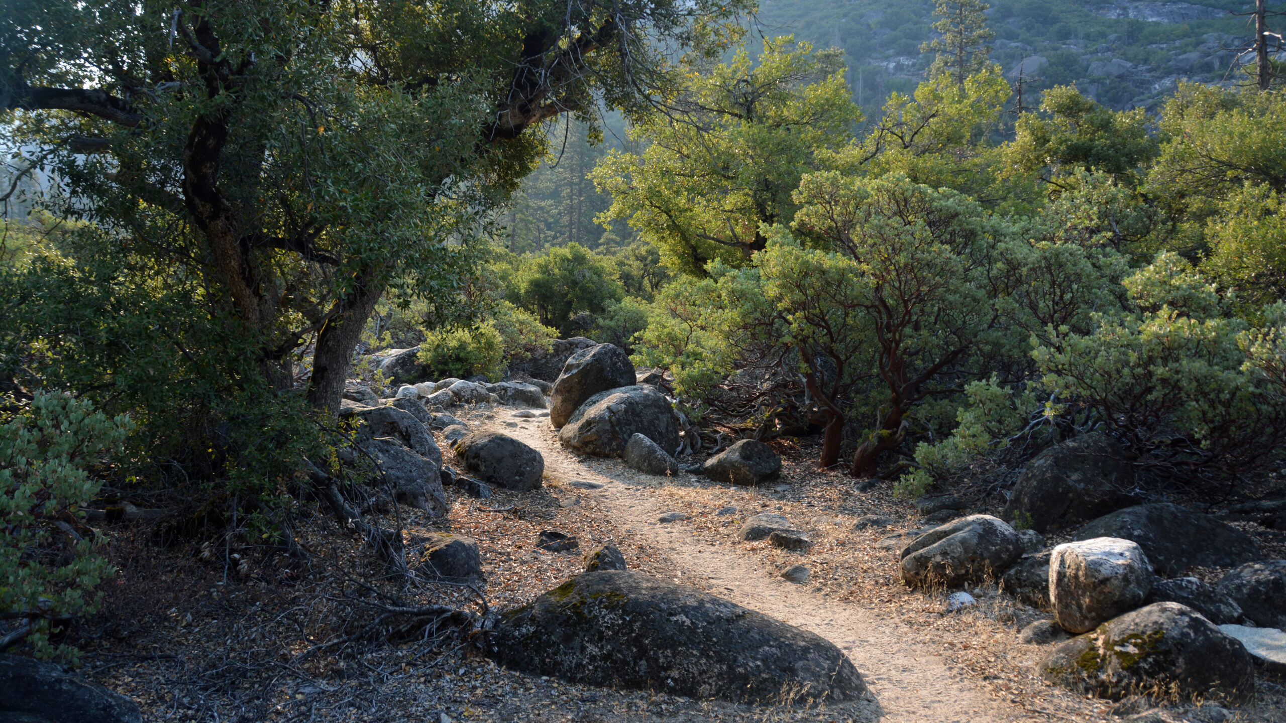
There are some trade offs hiking this route in September. The major pluses are the ample swimming opportunities, mosquito free, beautiful isolation, and the sub-alpine was in bloom. The sages, California rose, buckwheats, aspens and junipers were delightful. The trade off was that the waterfalls were mostly depleted. But all things considered, the 5 big waterfalls along the Tuolumne are within a day-hike of Tuolumne Meadows. I’d also noted that one day I’d like to encounter the Muir Gorge in it’s full furry that September doesn’t offer. All and all, I would recommend doing this hike in September.
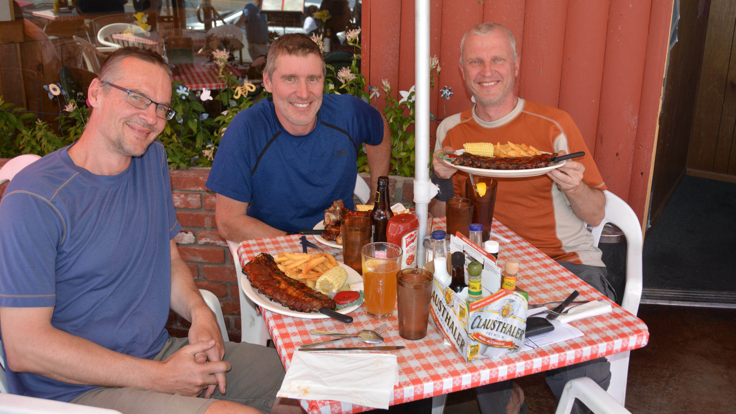
Day 0: Setup Given we had to work out our logistics quickly in response to the Rough Fire, we had to pick up our permit in person at the BridgePort Ranger office at 3pm. We timed our arrival in Bridgeport for a late lunch. We settled on Rhino’s Bar & Grill. It served locals with little extra spice besides salt and pepper. After we picked up our permit we drove to Tuolumne Meadows to leave a car at the trail exit and then drove back to Lee Vining. There we had a memorable dinner at Bodie Mike’s BBQ. It was so damn good, and the atmosphere was just right, we decided to go back after we completed the hike. We can recommend the ribs!
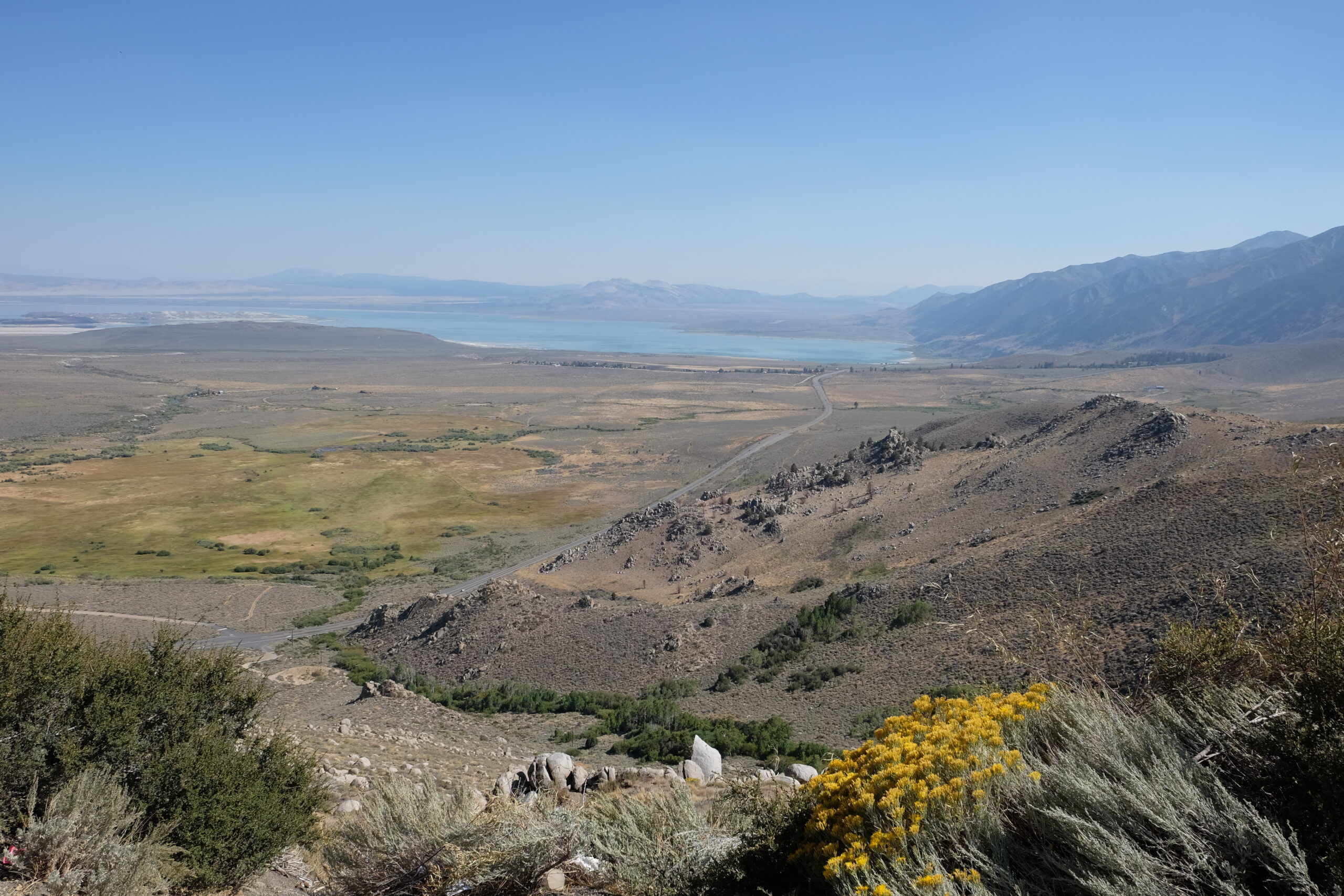
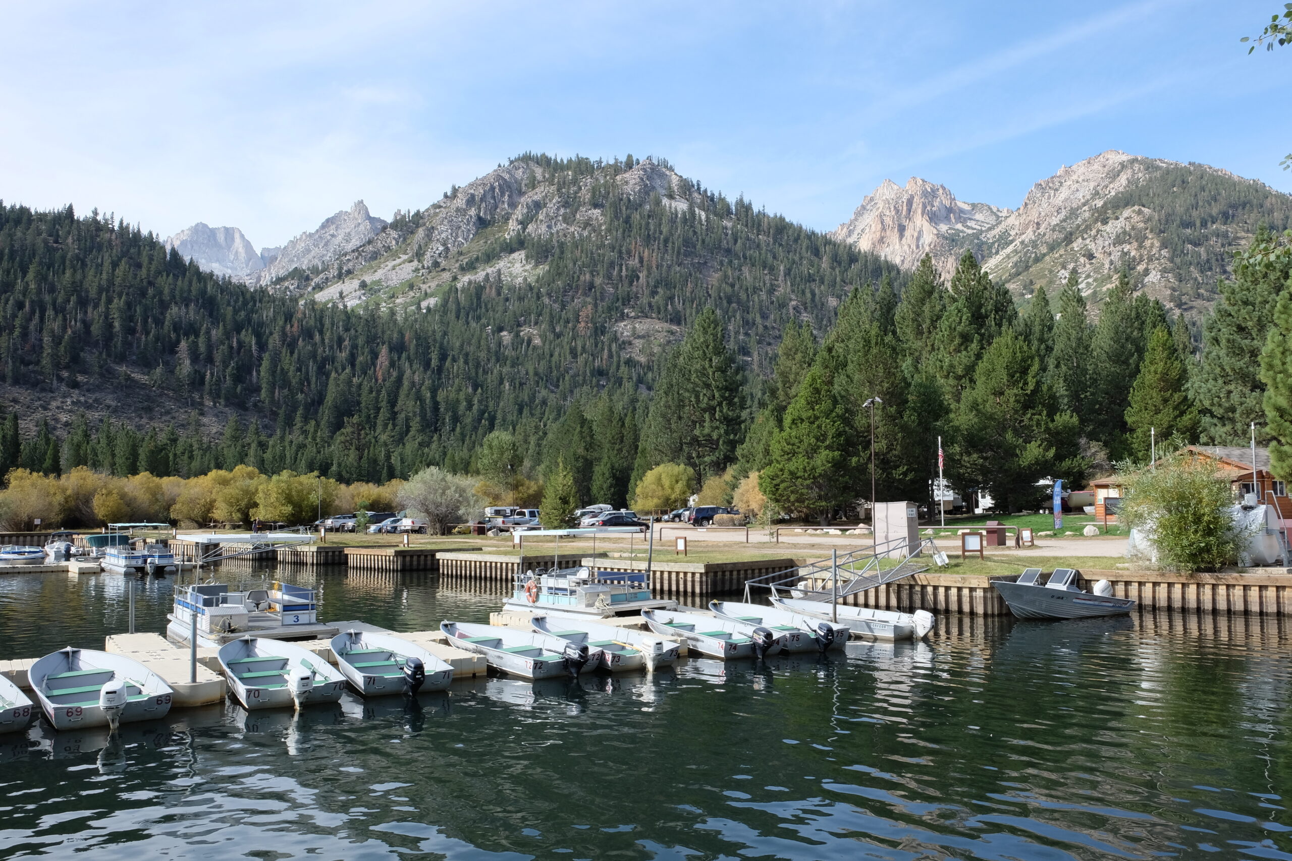
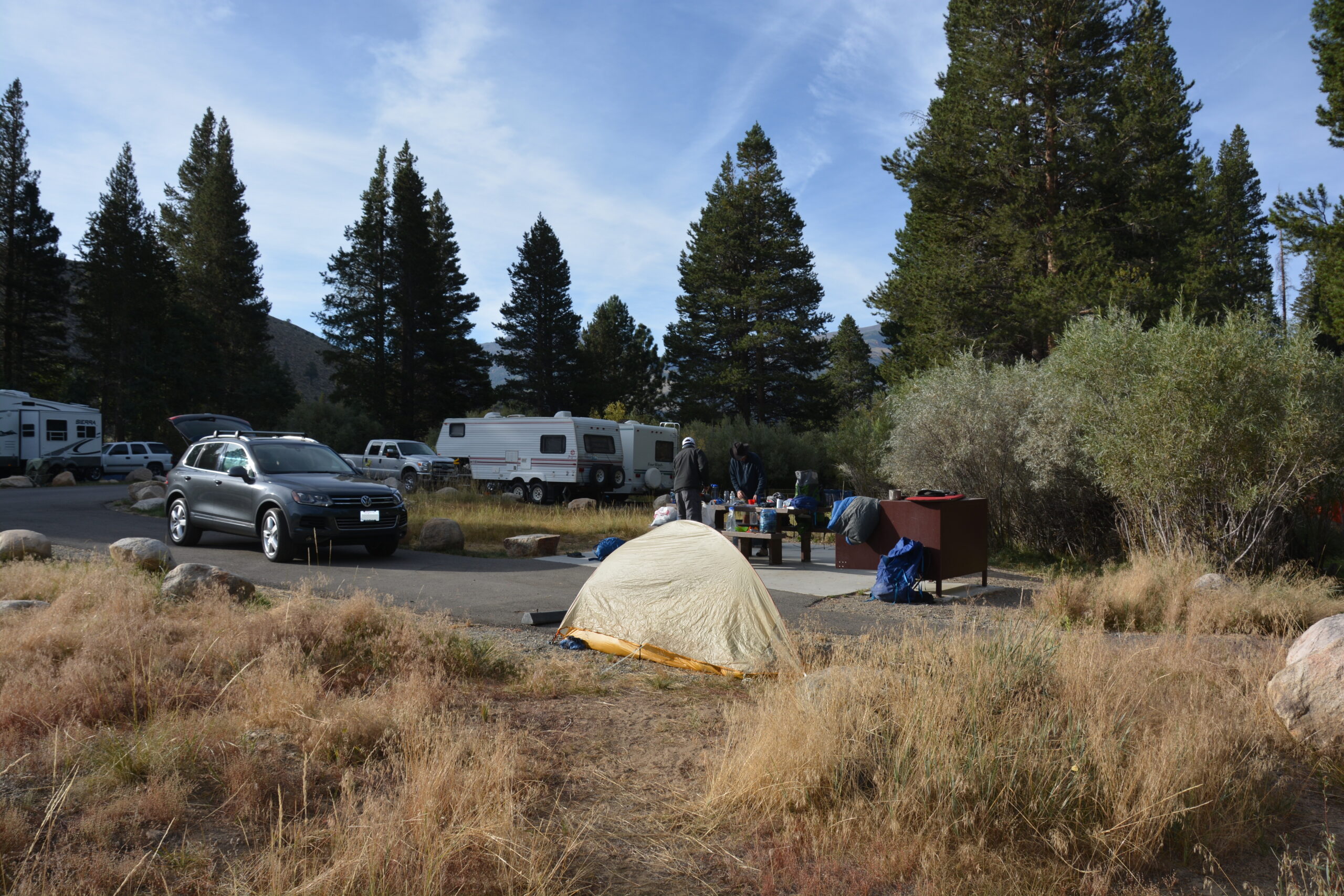
After our meal, we drove to the Honeymoon Flat Campgrounds, just short of Twin Lakes. Just a week earlier, I was able to reserve a Saturday campsite over Labor Day weekend. That is almost unheard of anywhere else in California. The campsite wasn’t on a lake but it fit our needs perfectly. In the morning it would be a short drive to the trailhead. As I looked around Twin Lakes, it reminded me of the fun recreational beaches of Lake Tahoe where you could rent kayaks and such.
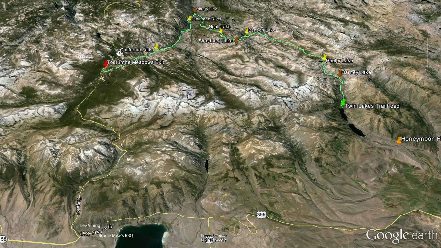
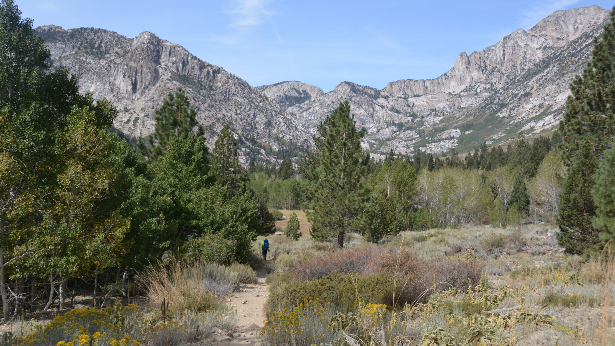
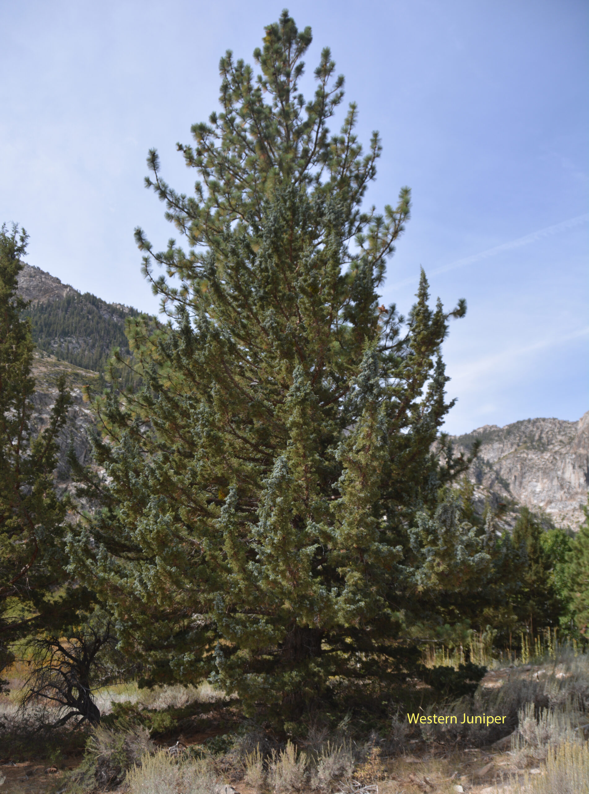
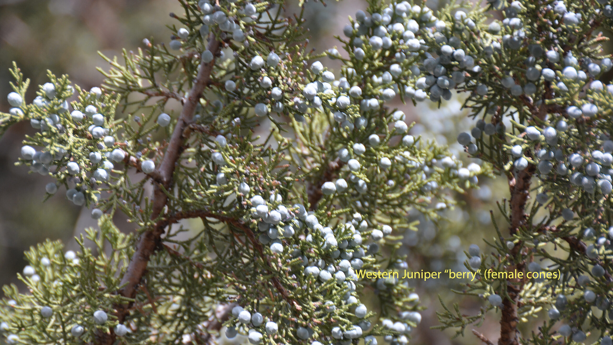
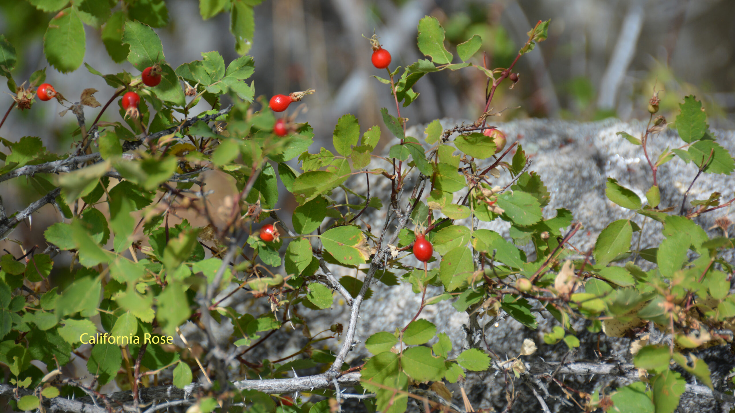
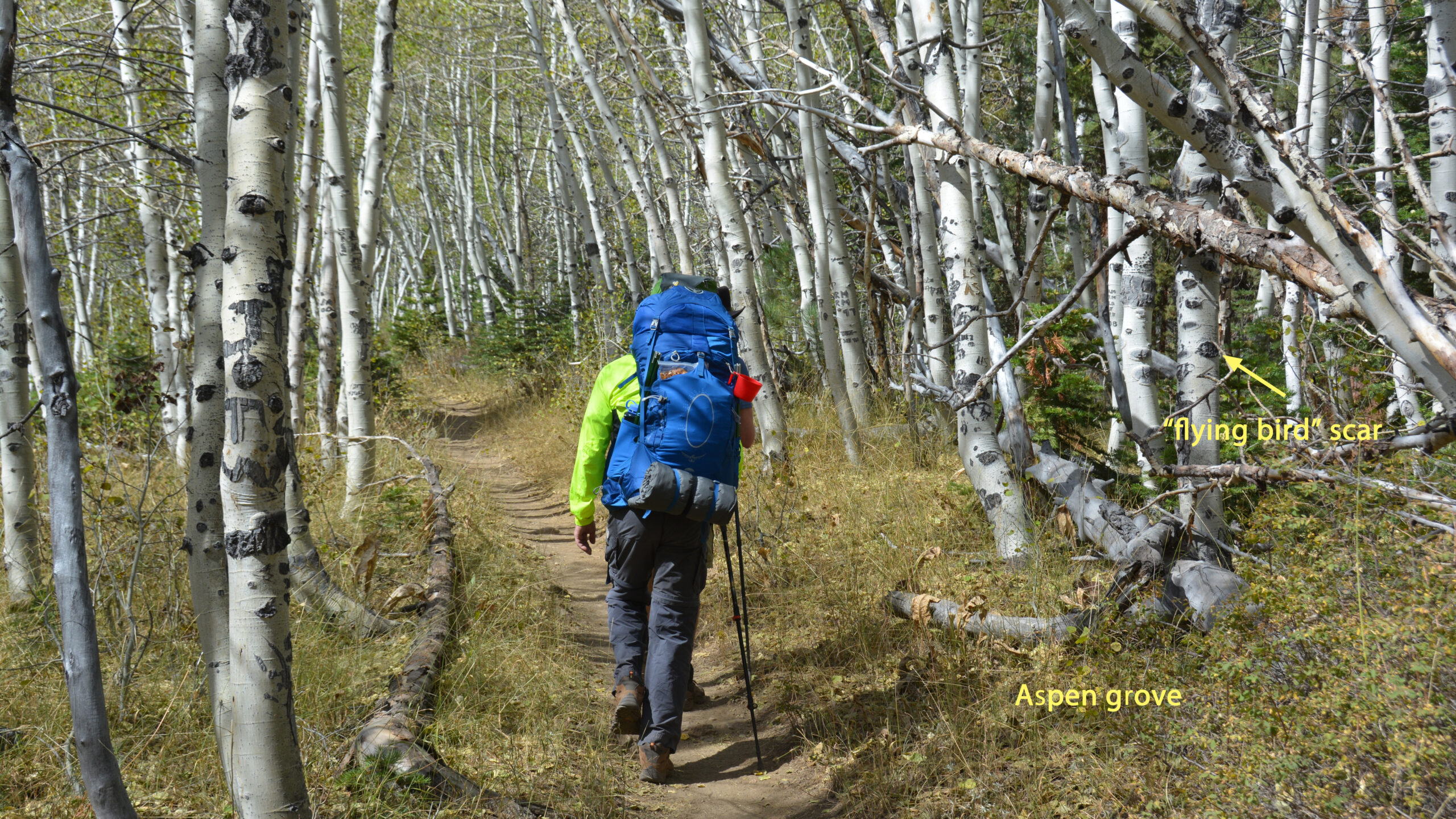
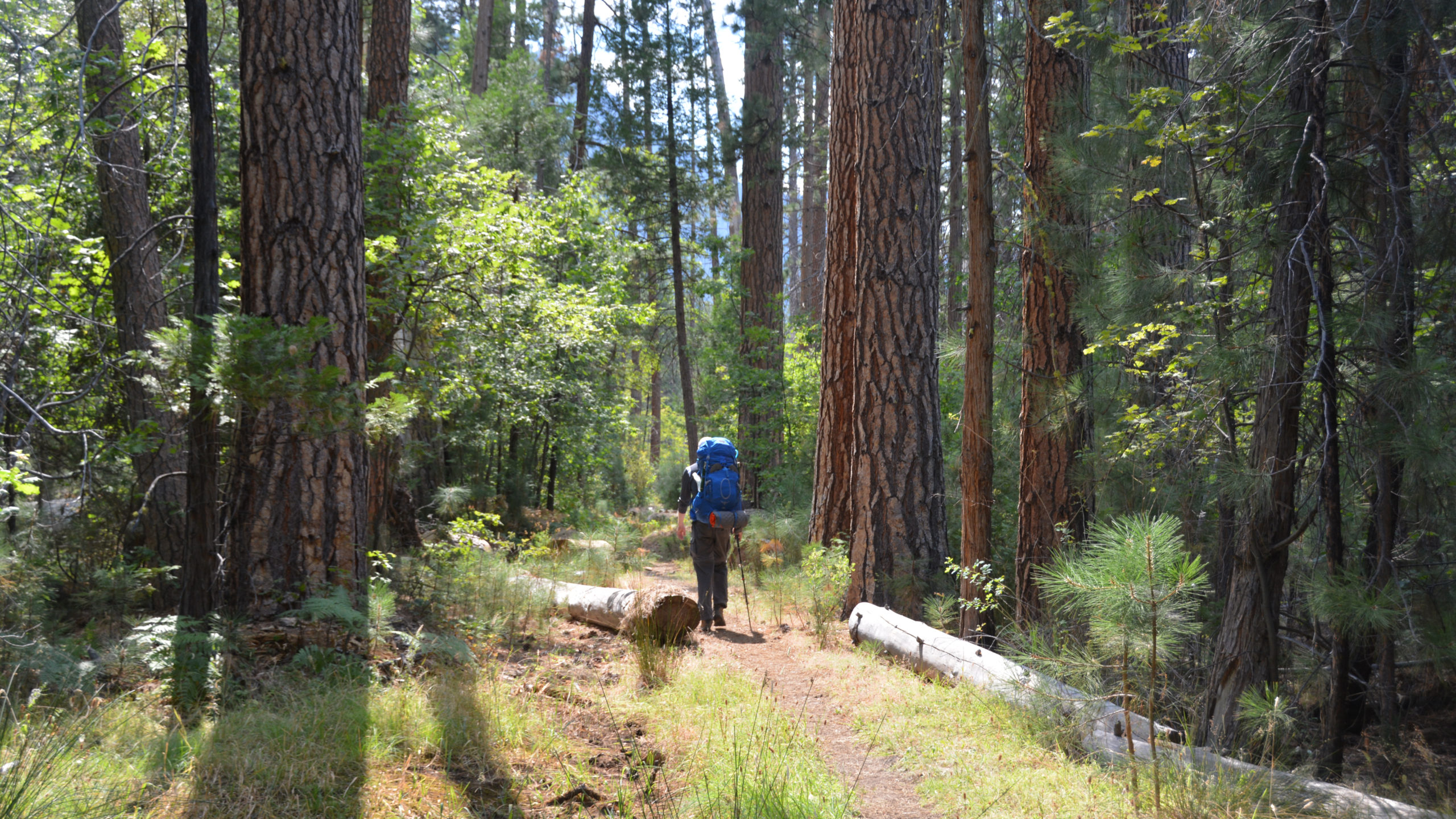
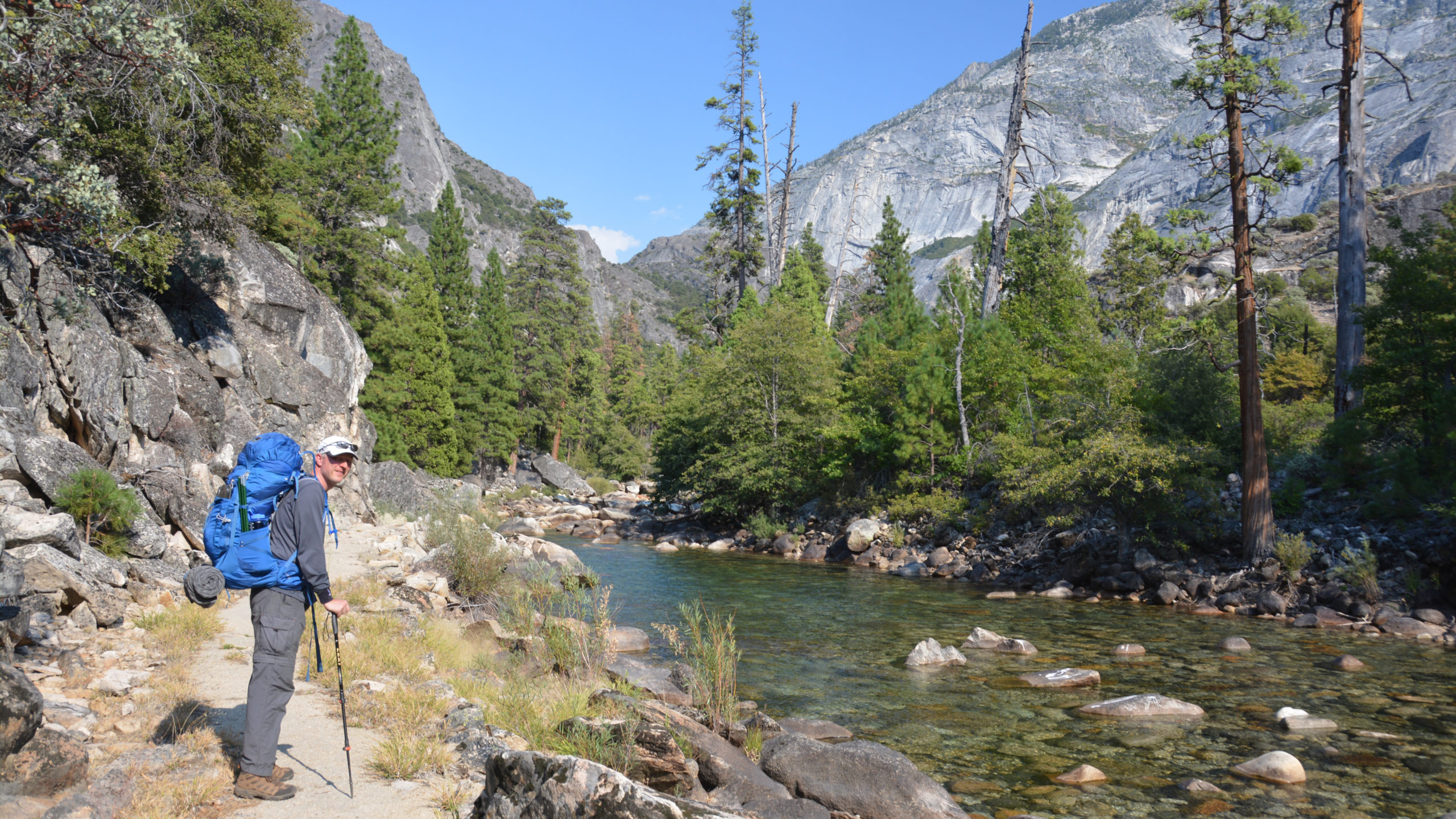
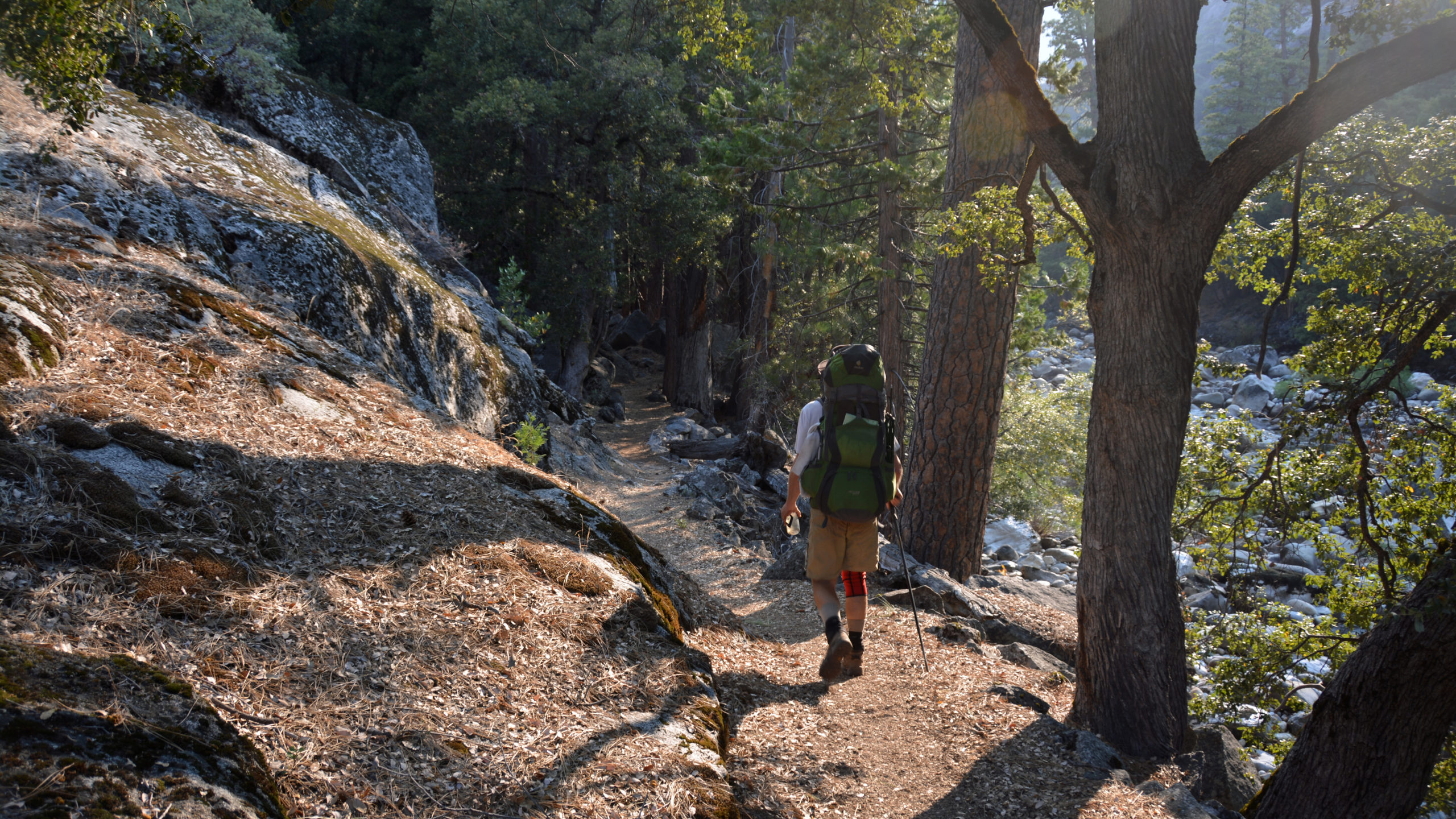
Day 1: Twin Lakes to Peeler Lake I really enjoyed the incredibly healthy vegetation of the sub-alpine forest as we left Twin Lakes. My favorite were the Juniper trees that were dotted with their beautiful blue seeds. The sages were flowering and wild California rose bushes were to be found. We also got into some pretty dense aspen groves that were fun to hike through. We had a pleasant lunch at Barney Lake and continued on to Peeler Lake. The hike started at 7000ft and climbed 2500 ft over 7.5 miles. So at that altitude along with my 45 lb pack, this amount of trail was about perfect for our first day.

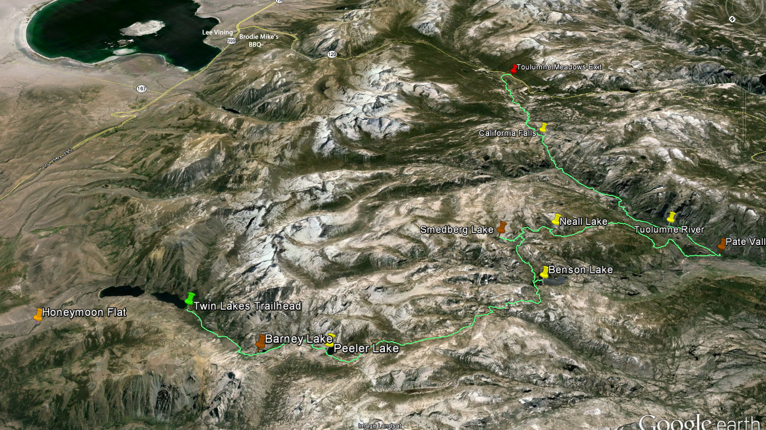
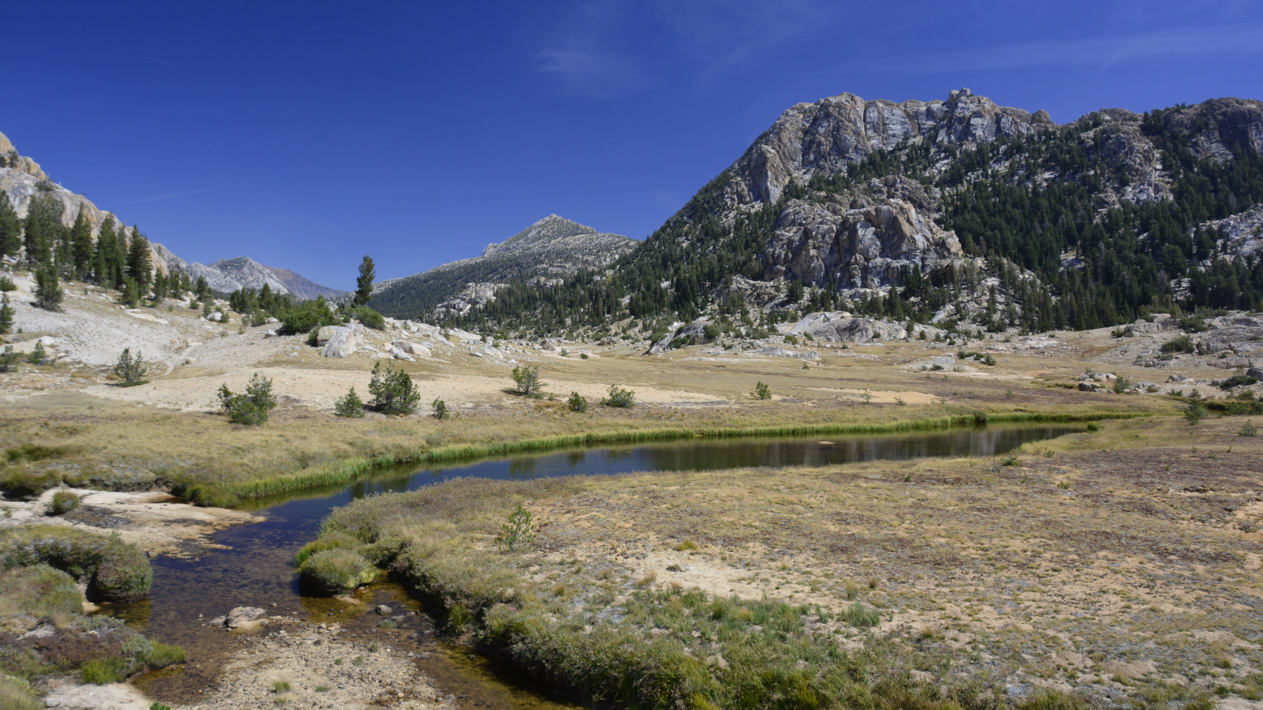
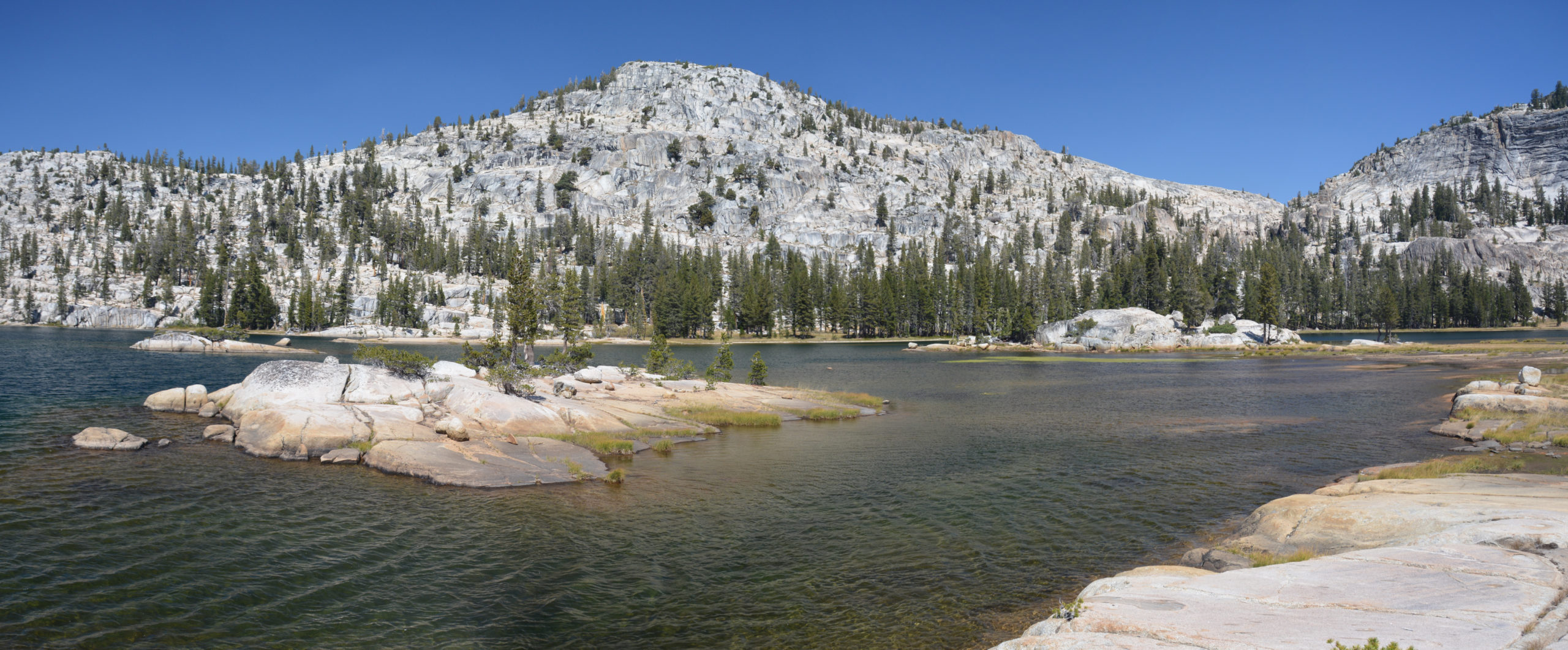
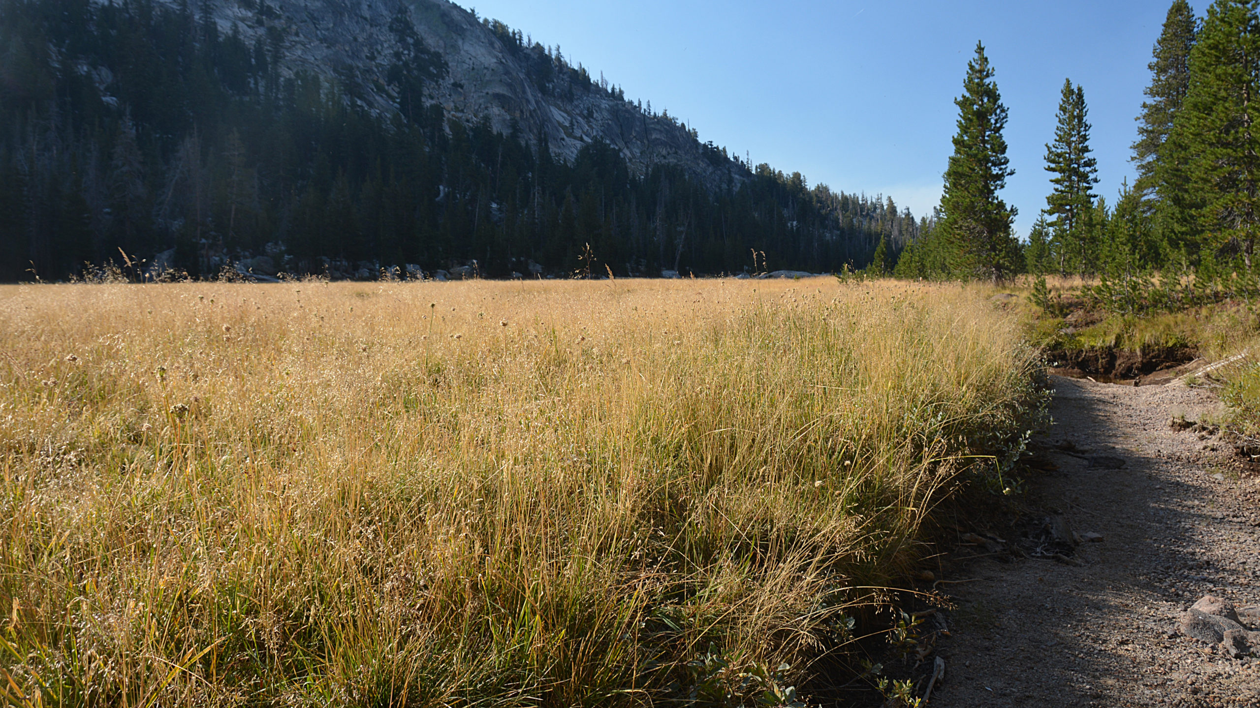
Day 2: Peeler Lake to Benson Lake Shortly after leaving Peeler Lake we passed through Kerrick Meadows. I remember thinking that this was like a private Yosemite Valley. It’s just beautiful – slow meandering Rancheria Creek, wild grasses growing in a flat bottomed valley surrounded by the exposed granite. I could have stayed here for a week, even though this segment took about 3 hrs. We had a wonderful lunch along the creek. Afterwards, we descended into Benson Lake. As can be seen in my photos and with no doubt, in millions of other photos taken in the California that summer, the skies were swamped with the smoke from the Rough Fire hundreds of miles away.
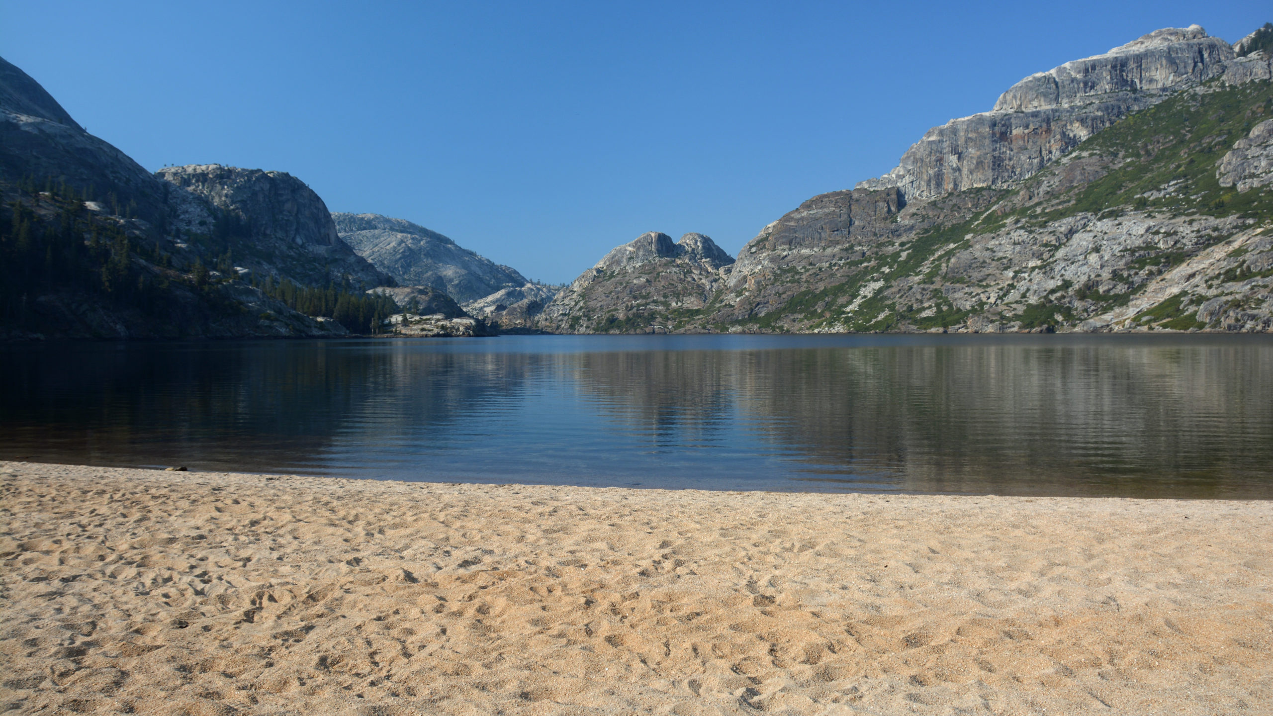
The day concluded arriving at Benson Lake. It’s a beautiful oddity of the Sierra Nevadas. Because it is flanked by a mountain with softer granite on the NW side, along with the effects of glaciated erosion, the lake is graced with a deep crescent shaped beach. It’s known as the Rivieria of the Sierras. I’ve been to the Italian one, and I can say it is indeed very similar.
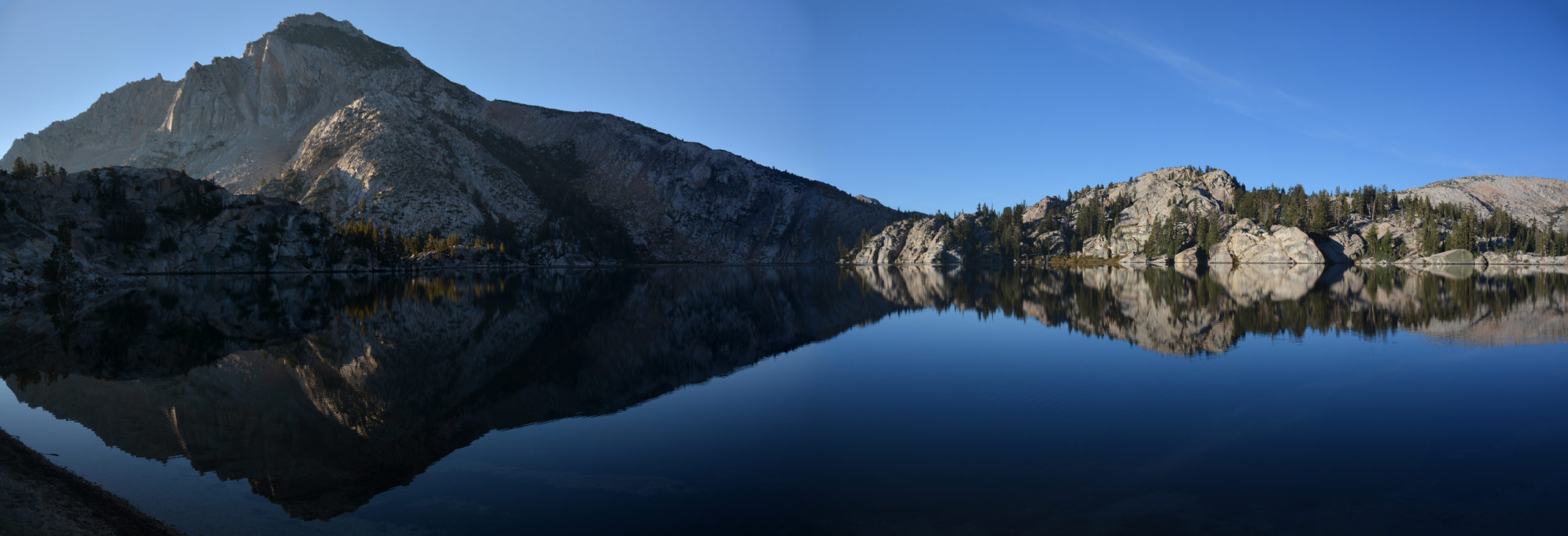
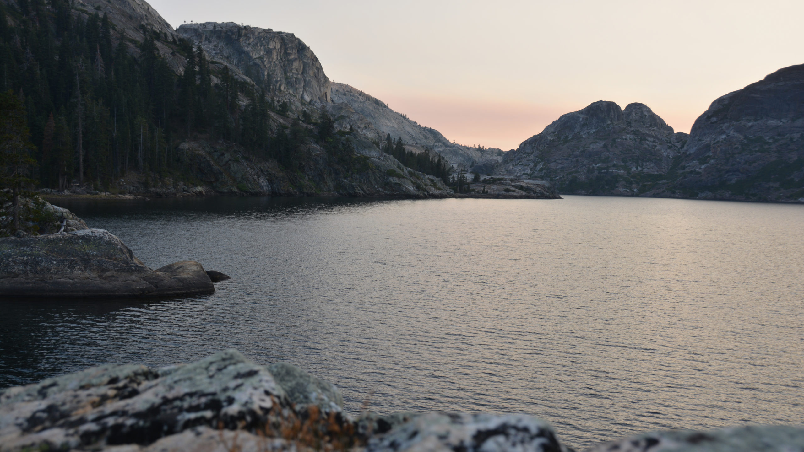
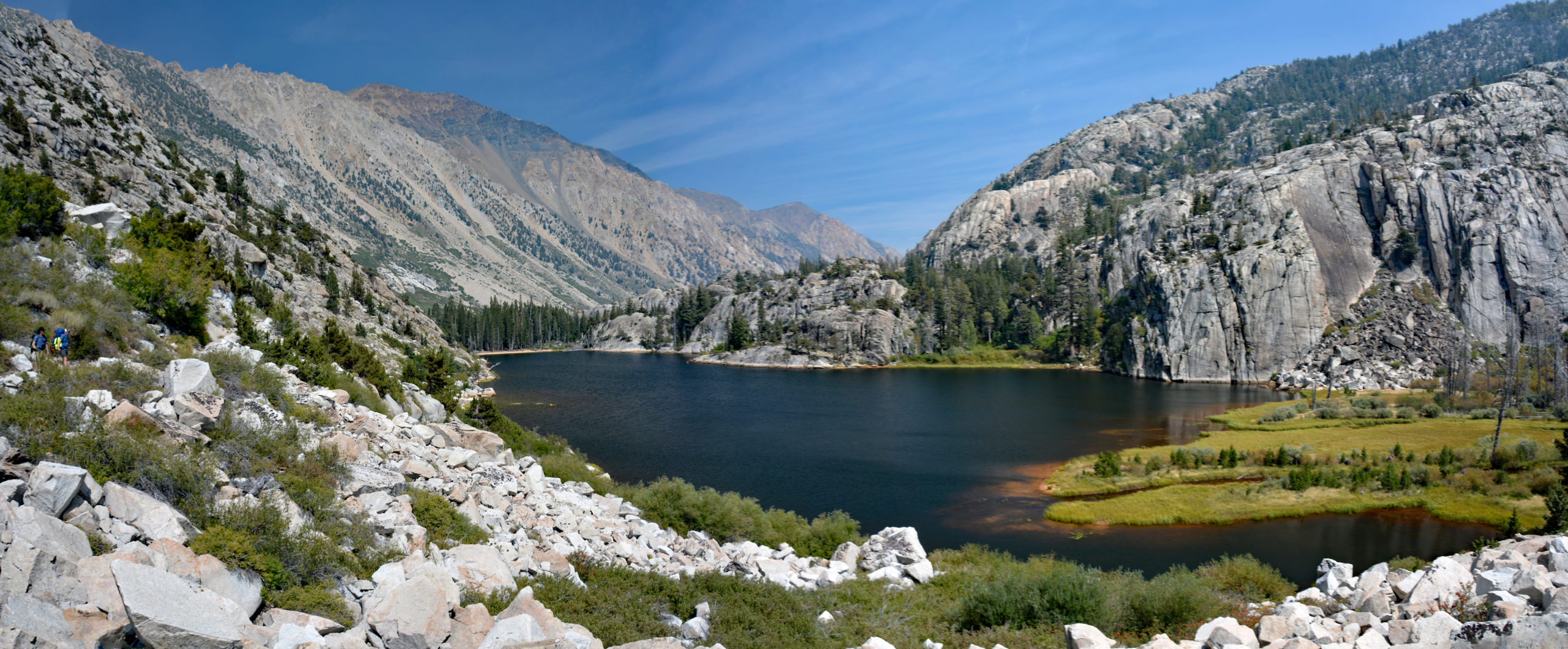
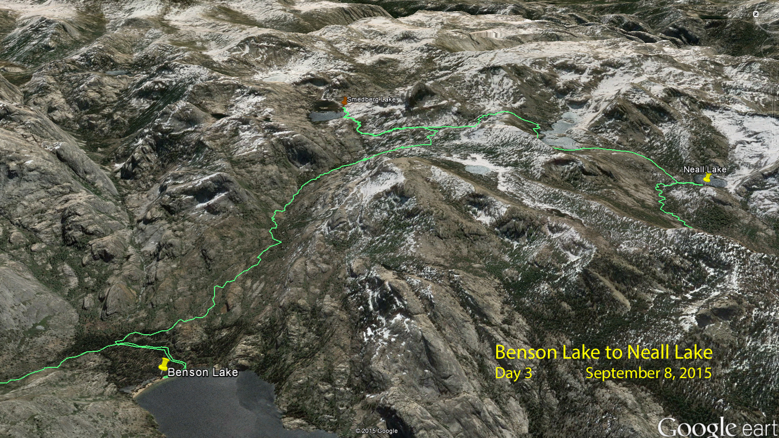
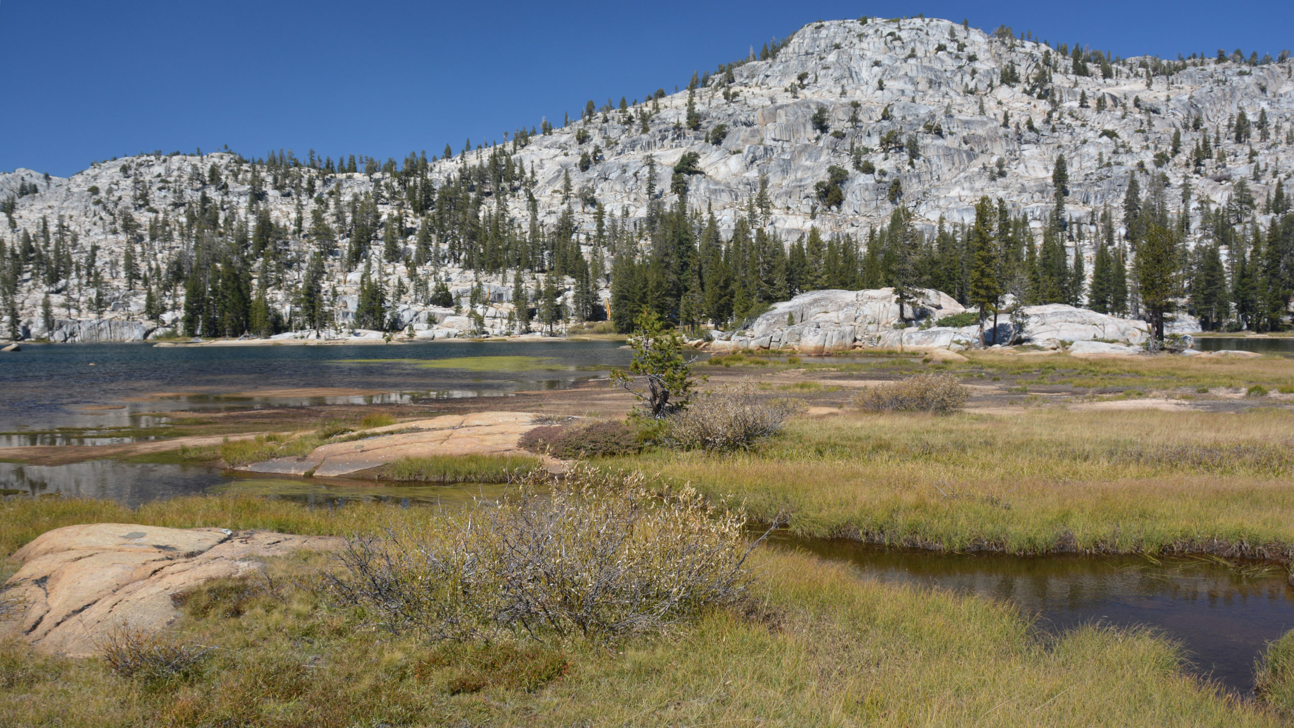
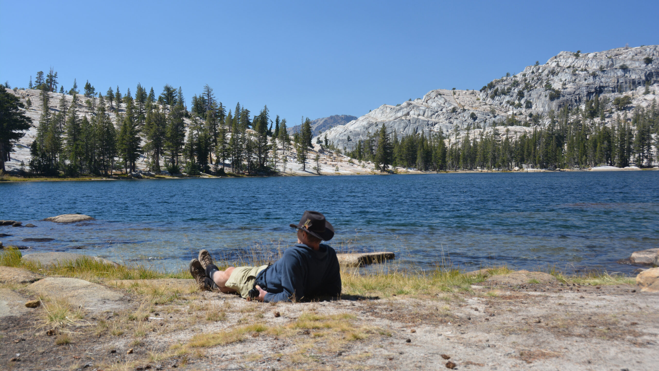
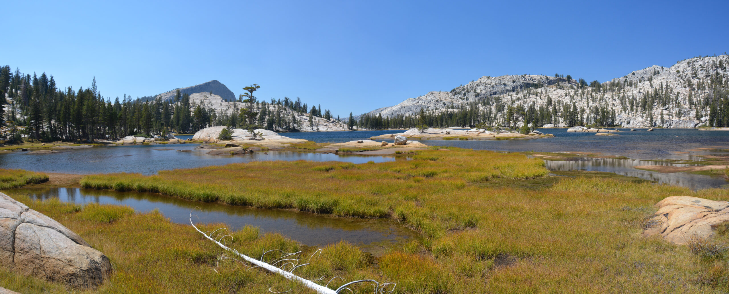
Day 3: Benson Lake to Neall Lake After leaving Benson Lake, we decided to to take a side trip up to Smedberg Lake. This is one of my favorite lakes in the Sierras. We all went for a very cold swims. Actually, a funny situation occurred after I had stripped down to my birthday suit. Seconds after I hit the water, a managed hiking group rounded the corner. I frantically treaded water taking in comments like “That’s quite darning of you..” “Is it cold?” All the while I was thinking can you just go away?
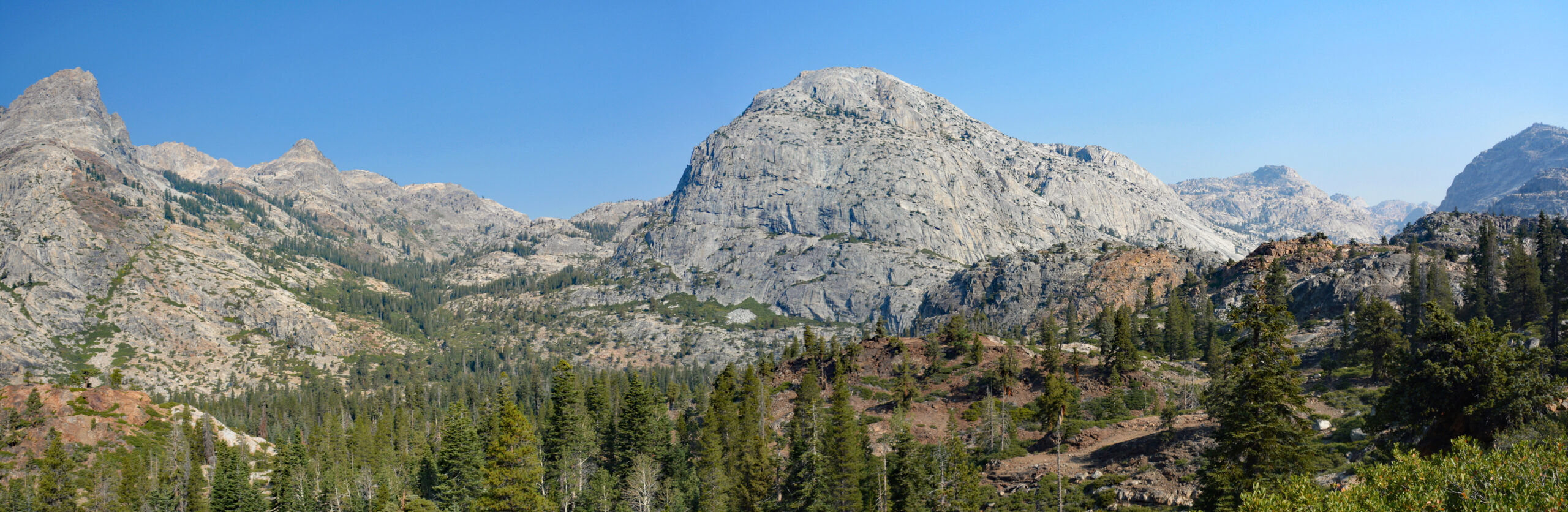
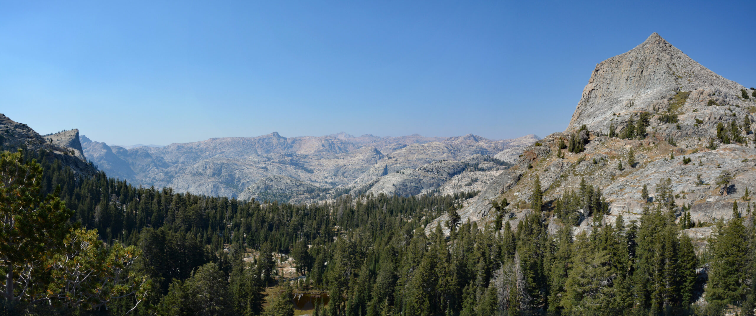
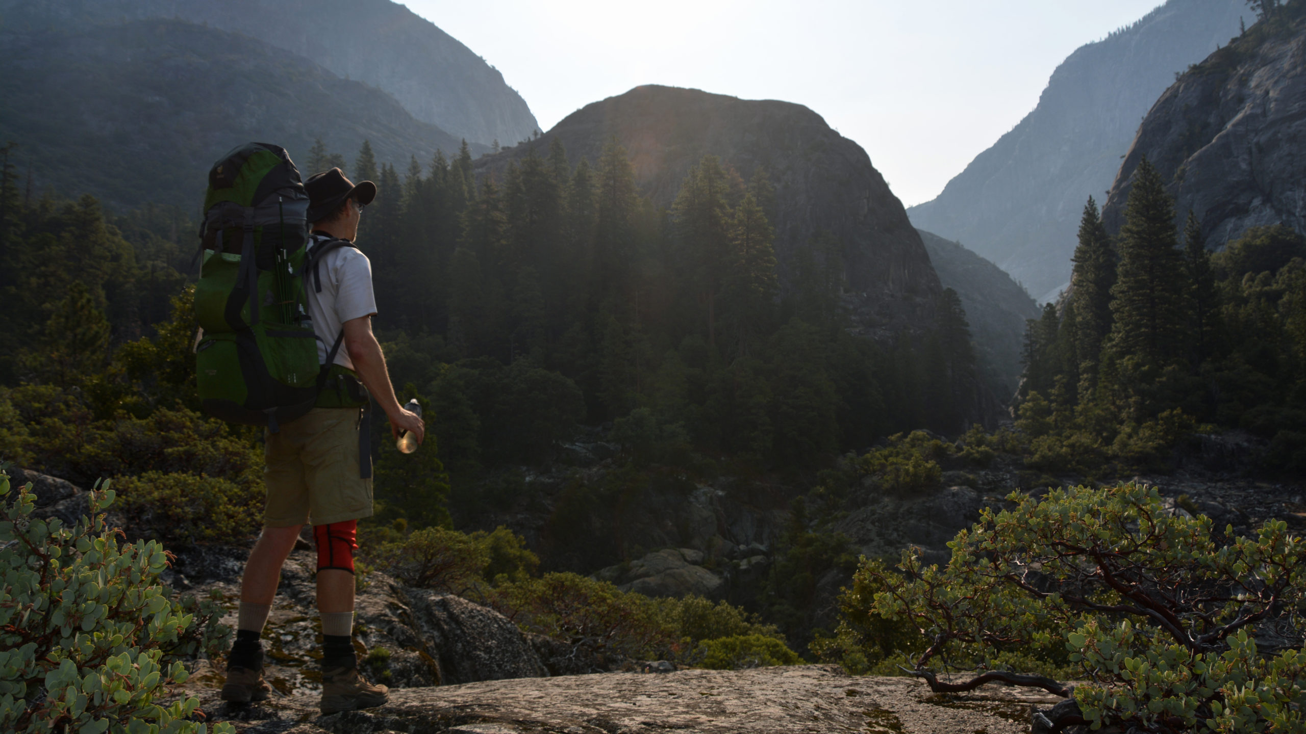
After our lunch we climbed over the pass below Volunteer Peak. I may have to return to climb Volunteer one day. From the pass we had fine views of the northern boundary of Yosemite and into Emigrant Wilderness. To the south we looked down on Rodgers Lake in which we hiked by in the next hour. From there we continued on to Neall Lake for a fine evening of skipping stones while enjoying alpine glow.
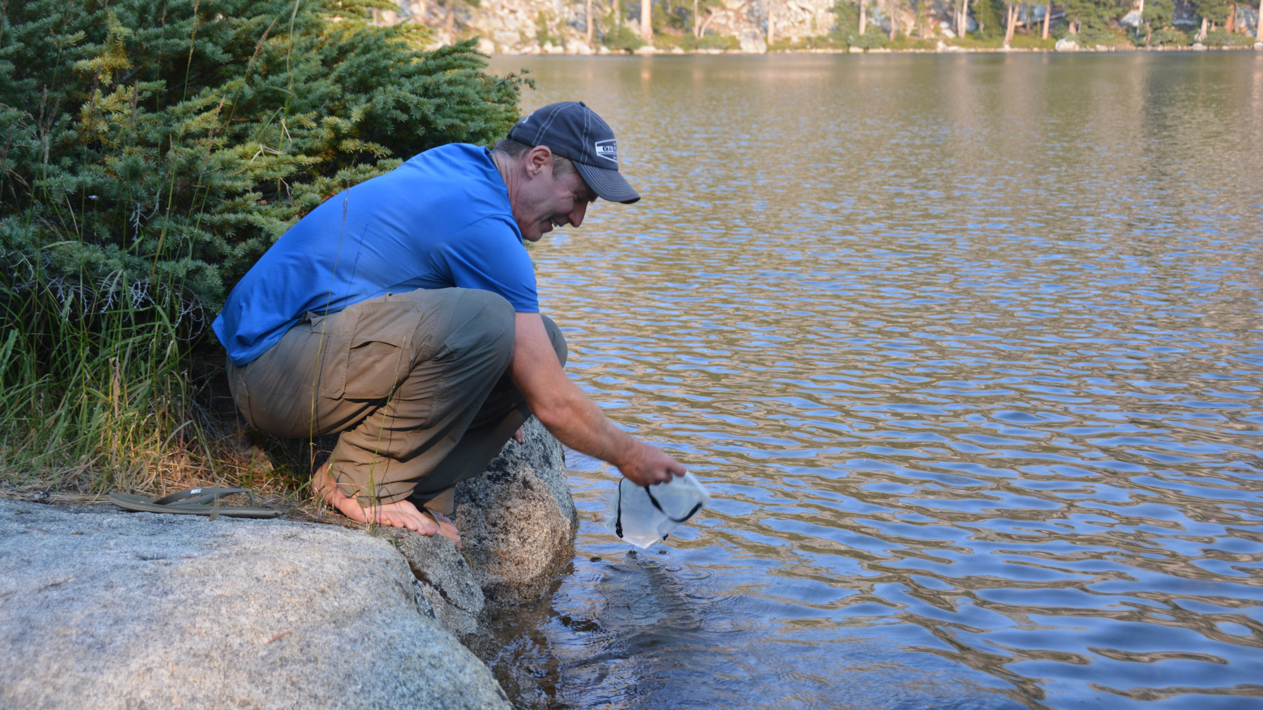
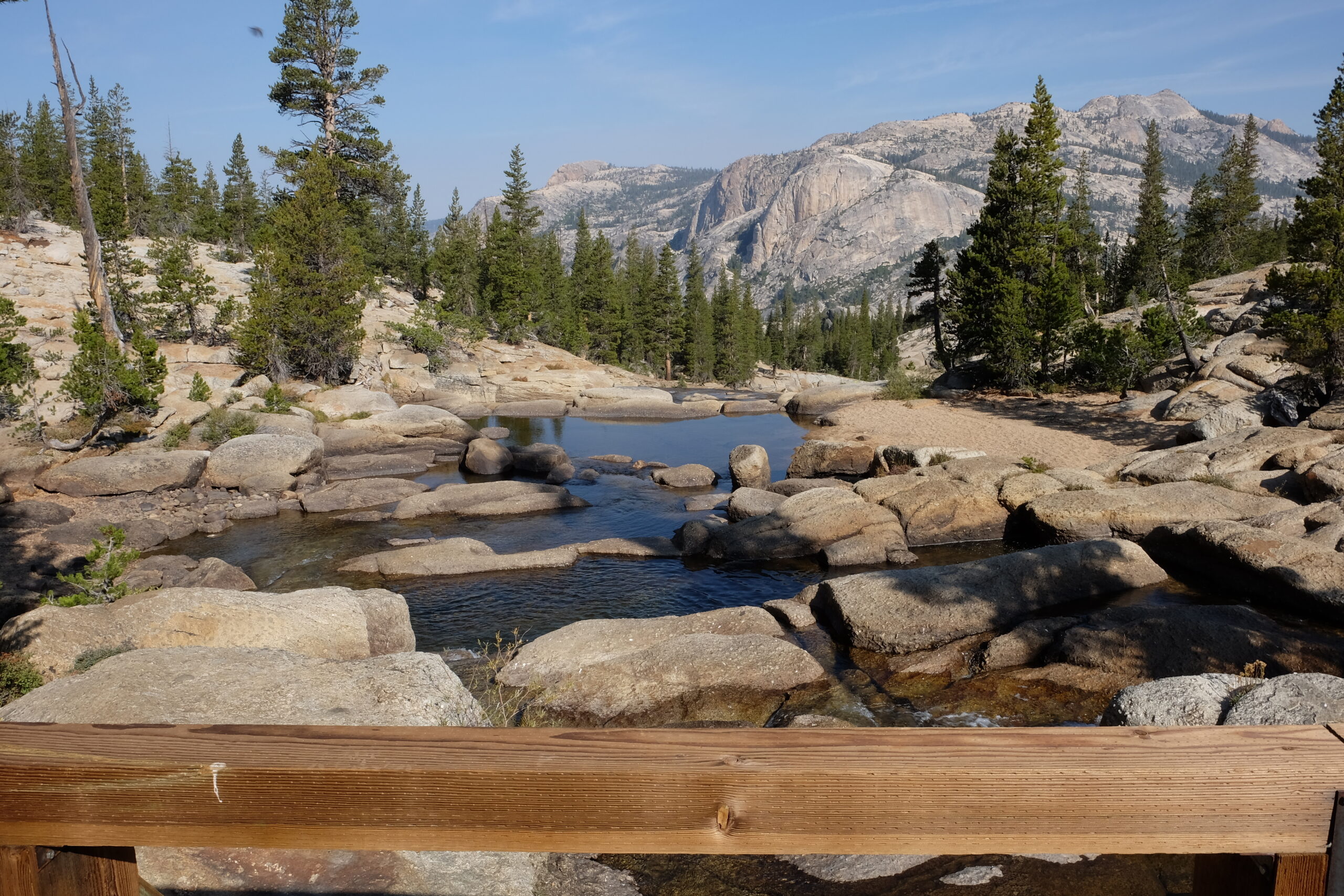
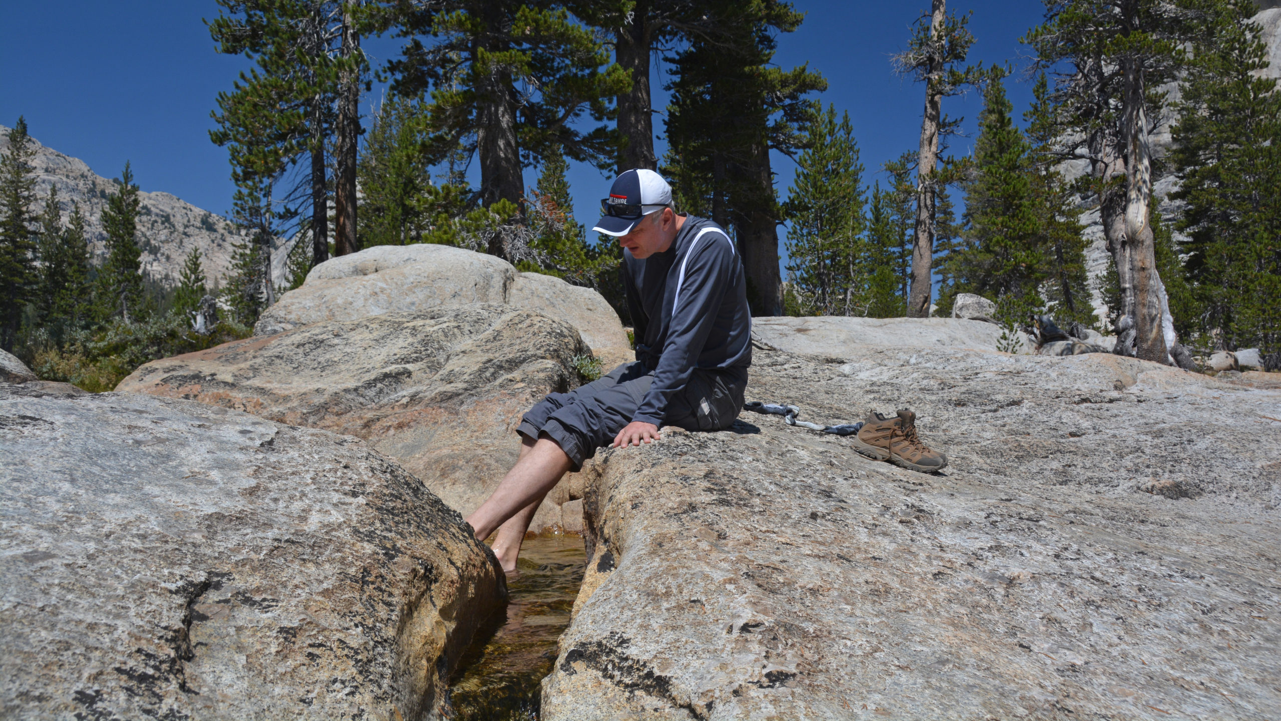
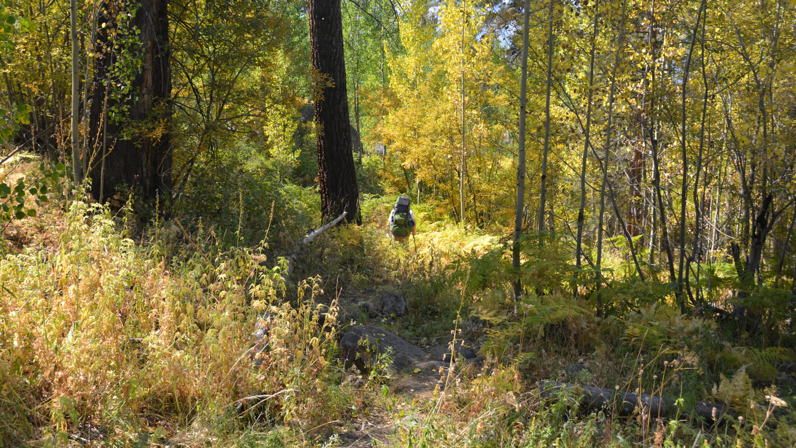
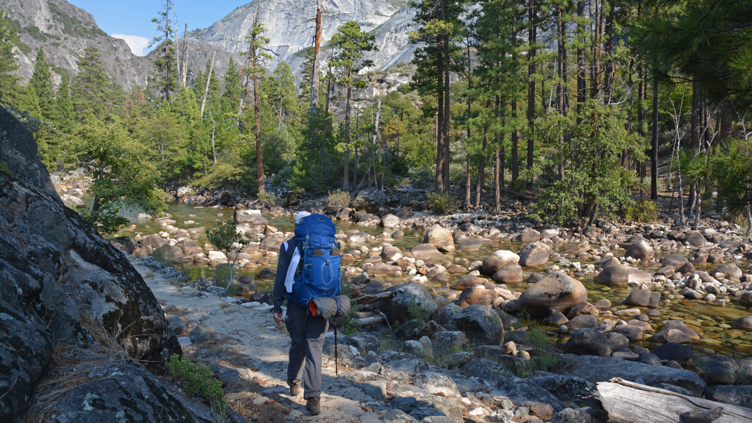
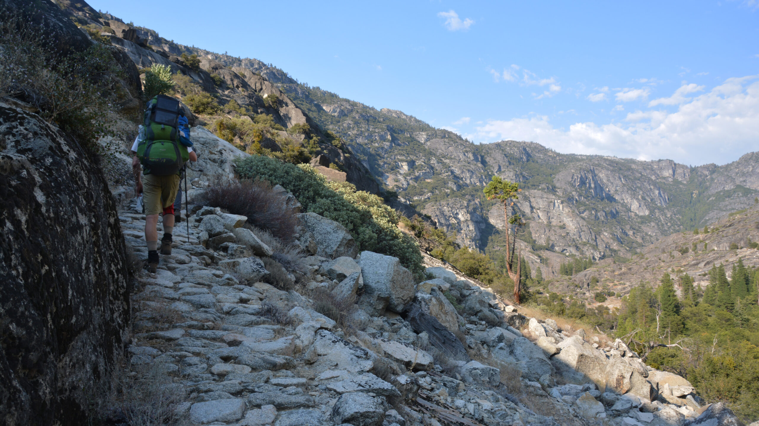
Day 4: Neall Lake to Tuolumne Canyon This segment certainly had it’s highs and lows. The first 5 miles was a pleasant hike that started with stretches of alpine meadows and white fir forests. We settled on a lunch spot that overlooked the Tuolumne Canyon. The next 5 files is a fairly steep dry decent. Much of it is sun exposed. Looking back at it, I should have carried more than 32oz of water. After the 2nd mile beyond Neall Lake there was no opportunity to refill our canisters until we reached the Tuolumne River. I was quite dehydrated once I got there.
Pate Valley is a wondrous valley. No doubt the Paiutes natives found it so as well. If we had stayed longer I might have searched for the pictographs that have been reported in this valley. But after that long decent, we took a quick dip in the Tuolumne before we headed up river.
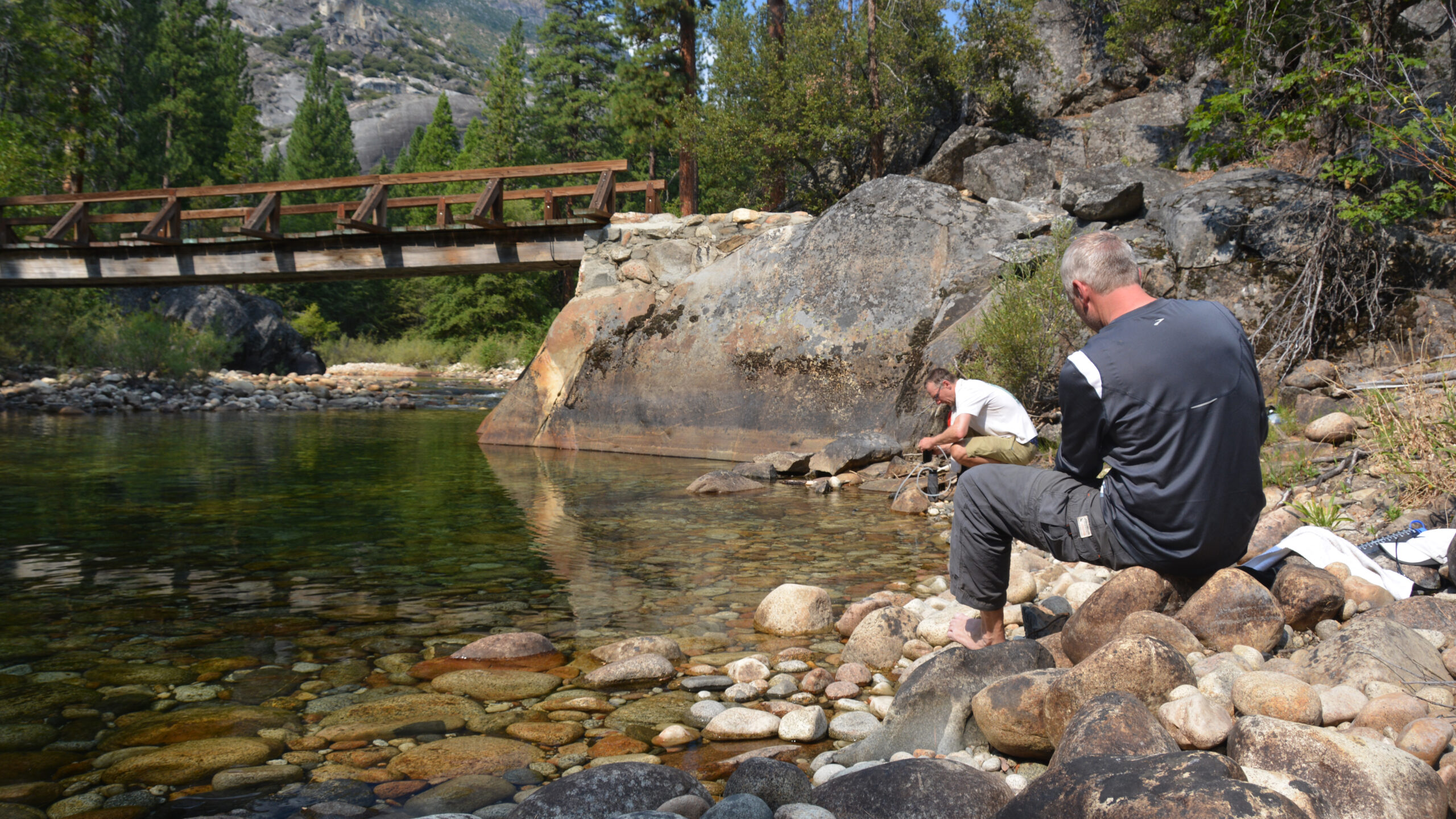
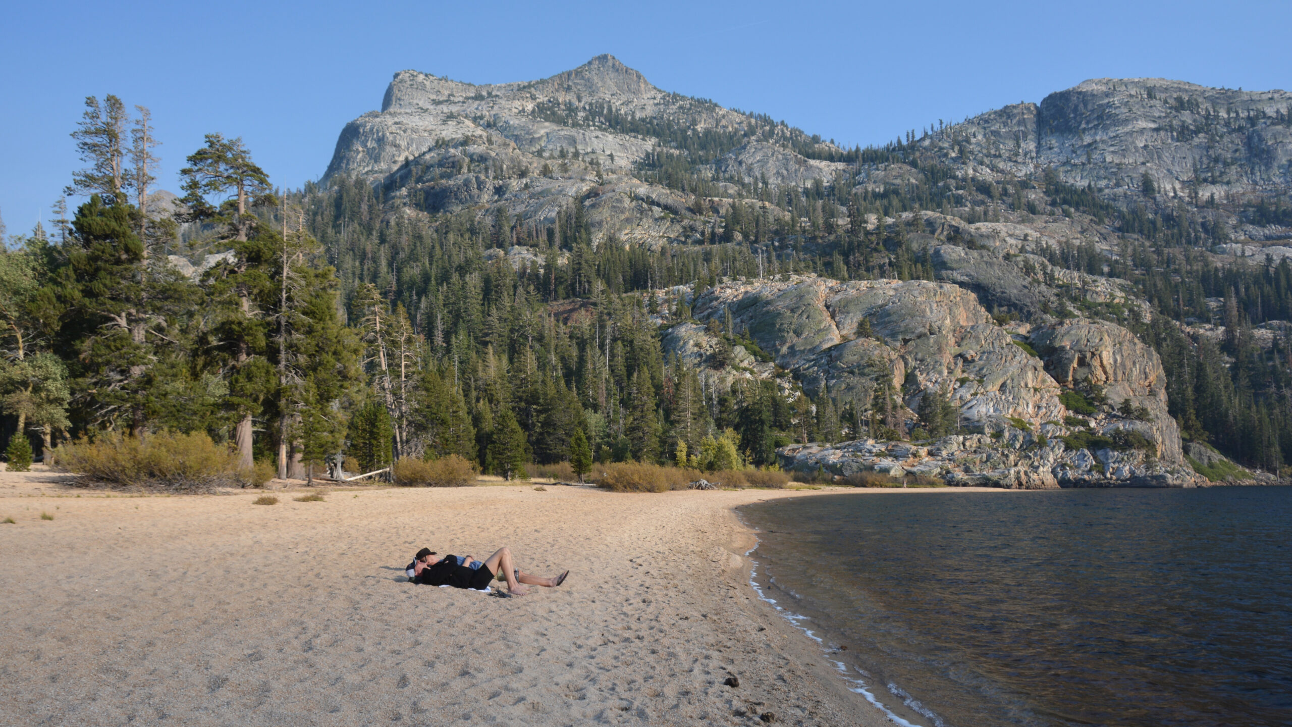
If you are reading this, you know why you hike: For the beauty, the adventure, the fitness – but I’m sure for many of us – for the rejuvenation. If there was a moment that captures all this – it would be us jumping into the Tuolumne River (late in the summer or fall when the levels are low and temperatures are a tad warmer. i.e. when it safe).
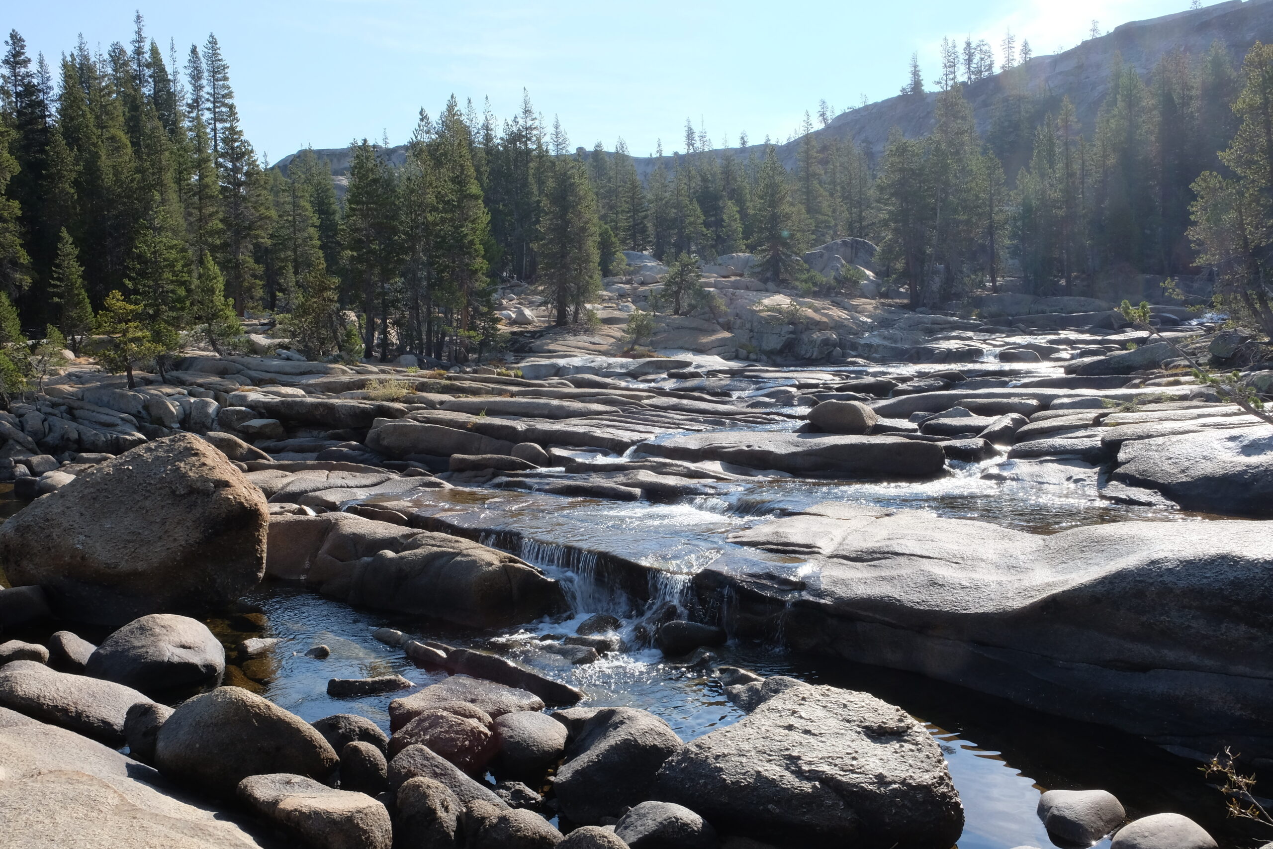
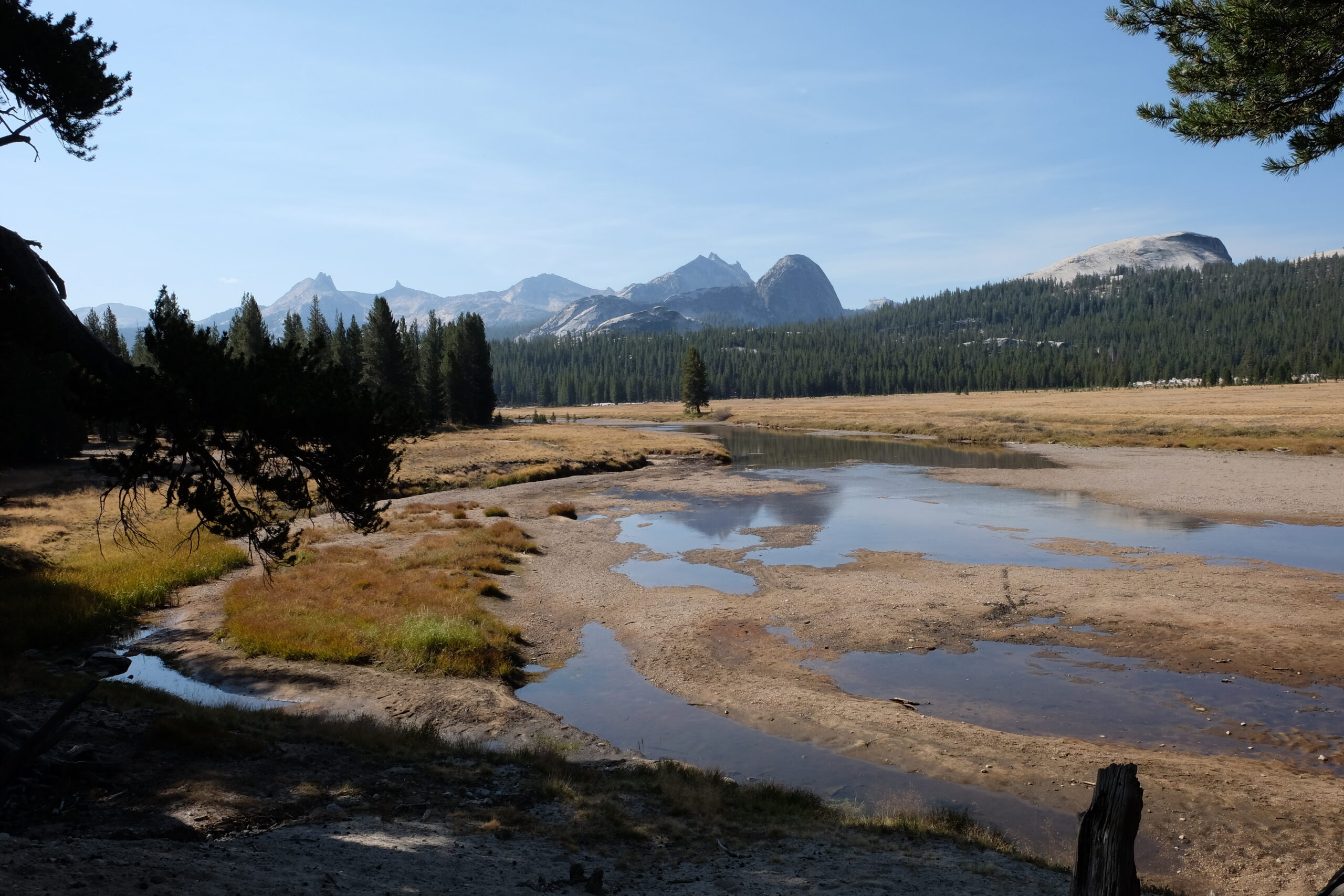
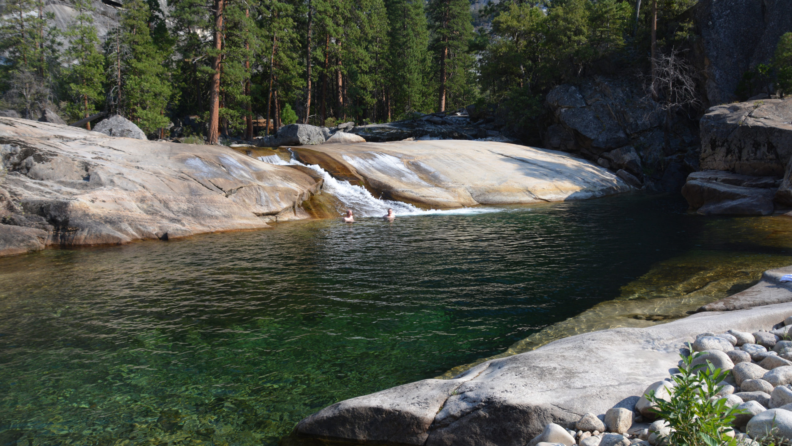
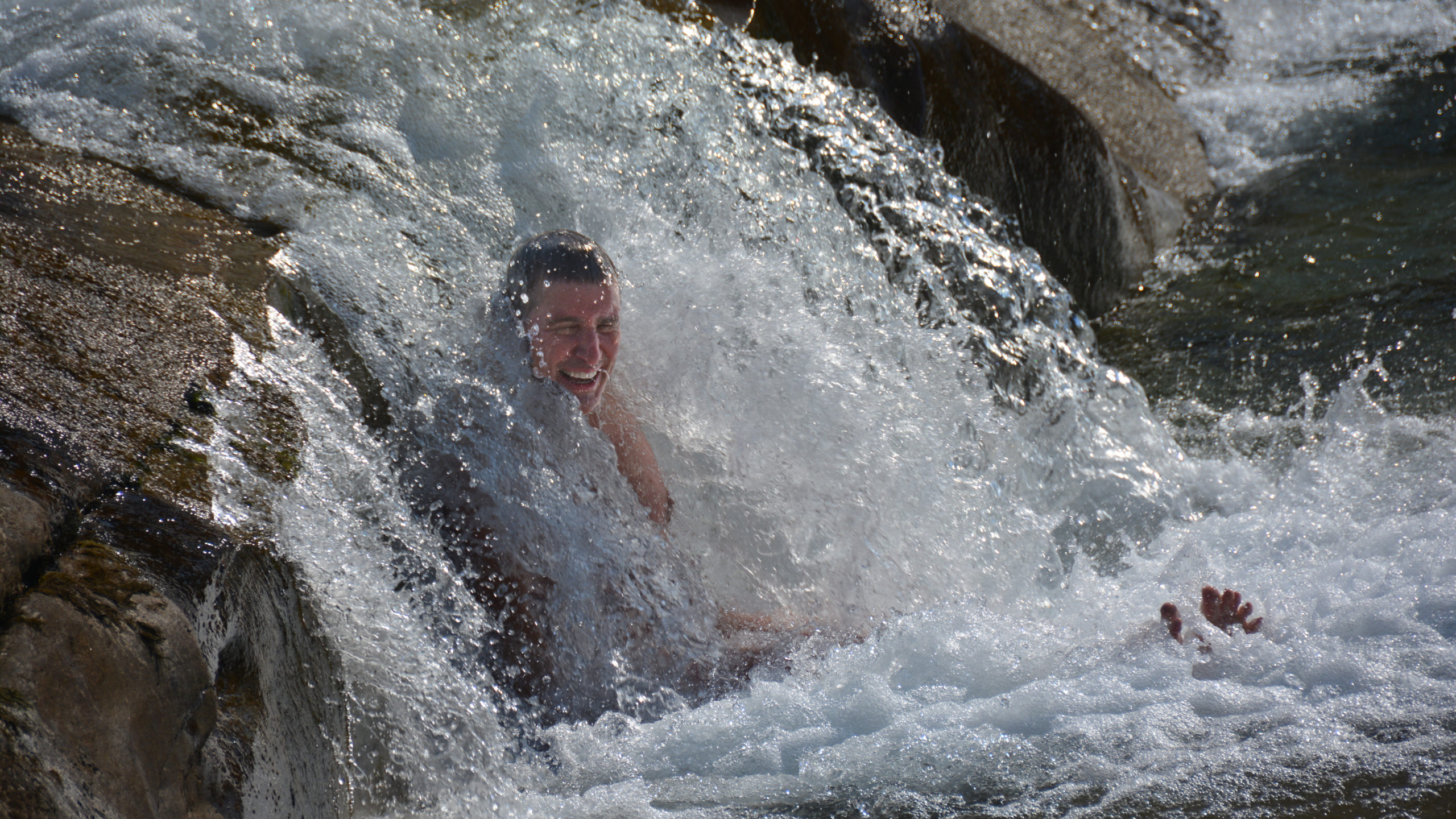
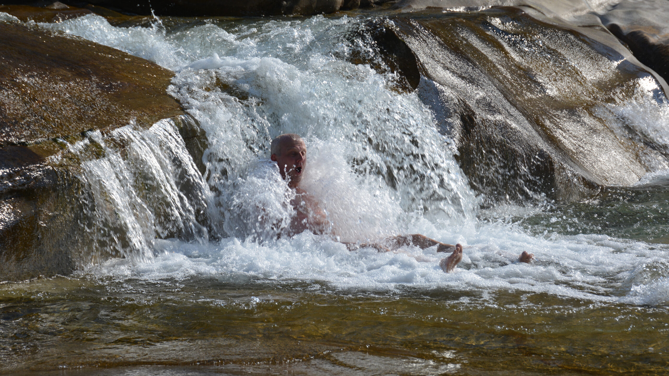
It was maybe a couple of miles upstream after we left the Pate Valley while still recovering from dehydration I said to myself, the first big water hole we hit I’m jumping in. We had just climbed over an exposed bluff and descended back to river and there was the spot. The swimming hole was massive, deep and calm. I’m not sure what more can I say – I felt like a kid. I thought about nothing except the pure joy of the moment. Yes the water was cool, but at that temperature, your whole body came alive. That short little over-pour (see the photo) … it was the fountain of youth.
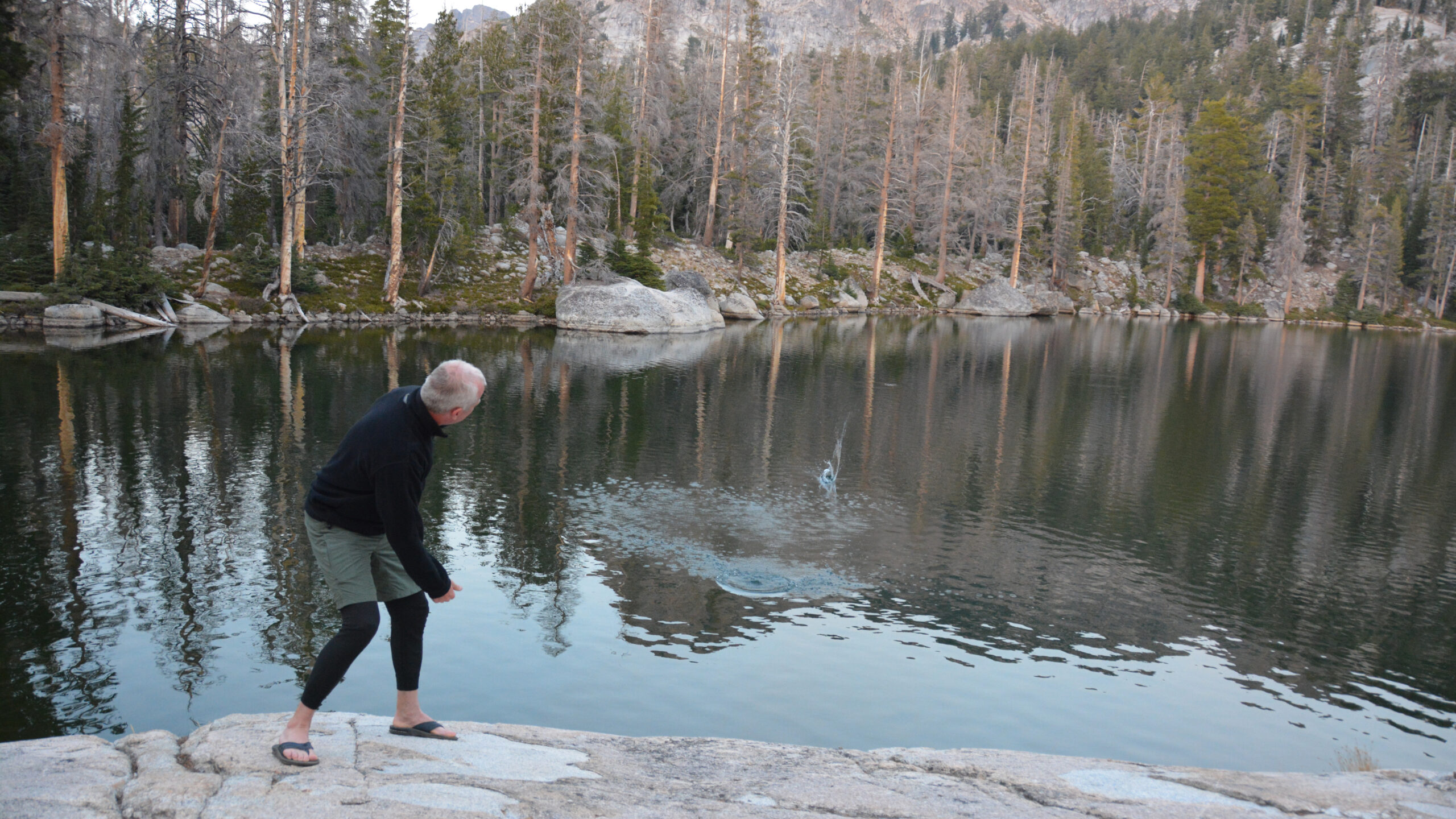
From there we hiked perhaps another mile or so until he hit another fabulous watering hole to settle in for the evening.

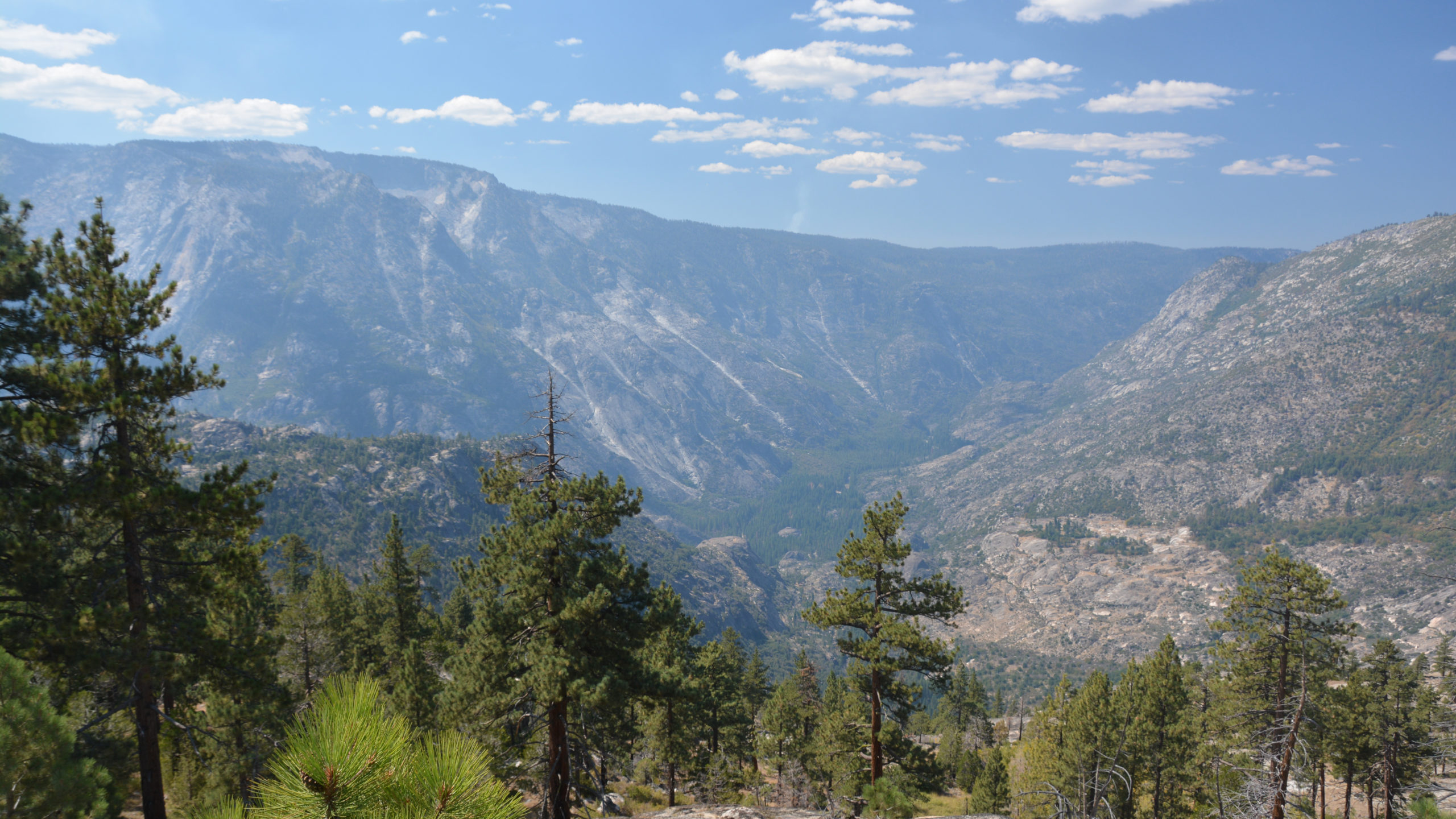
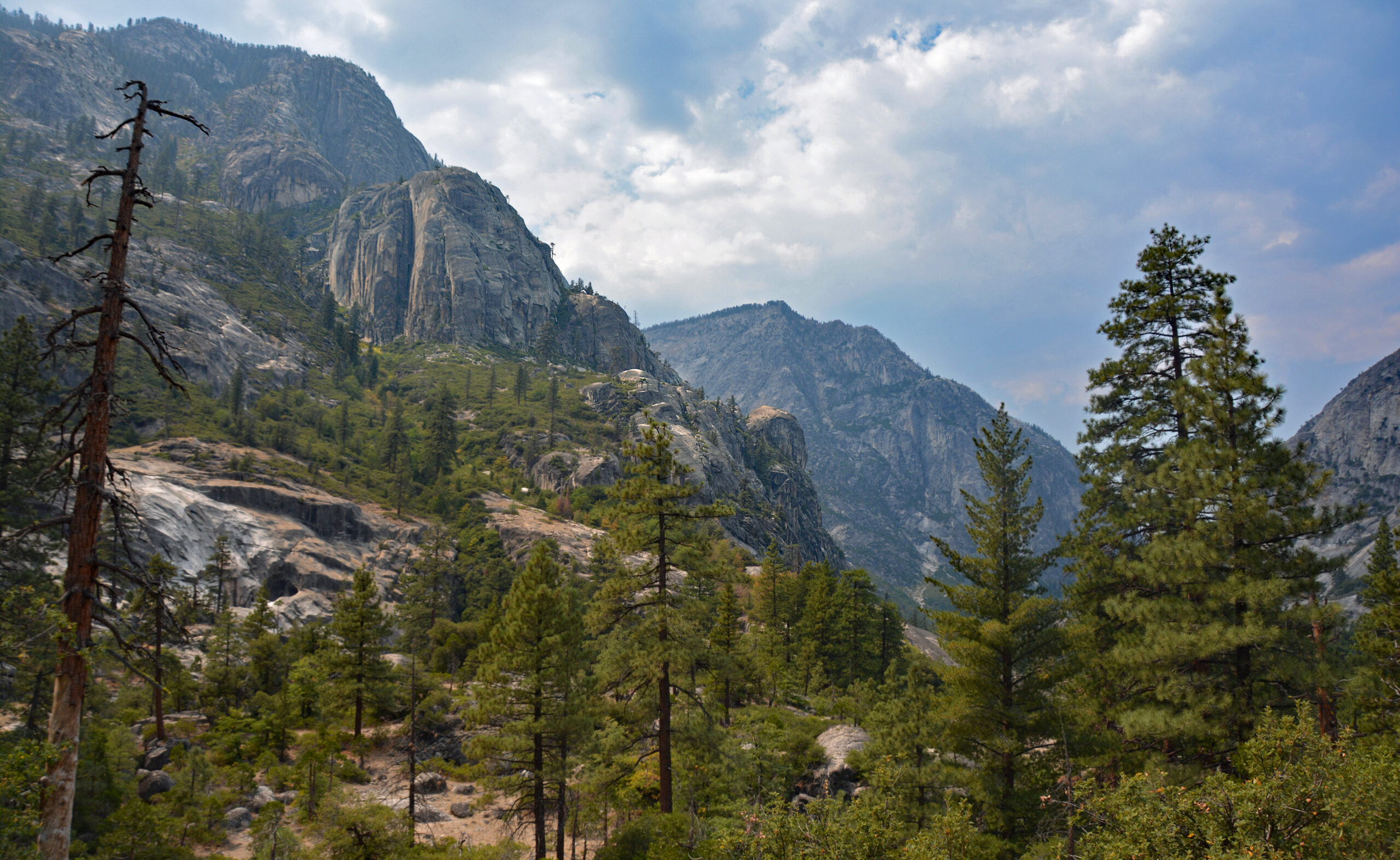
Day 5: Along the Grand Canyon of the Tuolumne As you are reading through this account you may be asking what more could this hike offer. In fact, I’m sure if we were hiking earlier in the season, this segment would have offered a grand finale to our hike. But hiking in September has it trade-offs. Yesterday we had the memorable swims. Today the Tuolumne canyon offered a tranquility but a thought kept crossing my mind that I had to return earlier in the season (White Wolf to Tuolumne Meadows) to experience the ferocity that this canyon surely offers.
One spot I want to come back to experience is the Muir Gorge. It is at the confluence of Register Creek. In fact, just off the trail was potentially a 25ft waterfall that was completely dry in this September time frame. Looking down on the Tuolumne, we could see a narrow channel that must offer a spectacular setting at the right time of year.
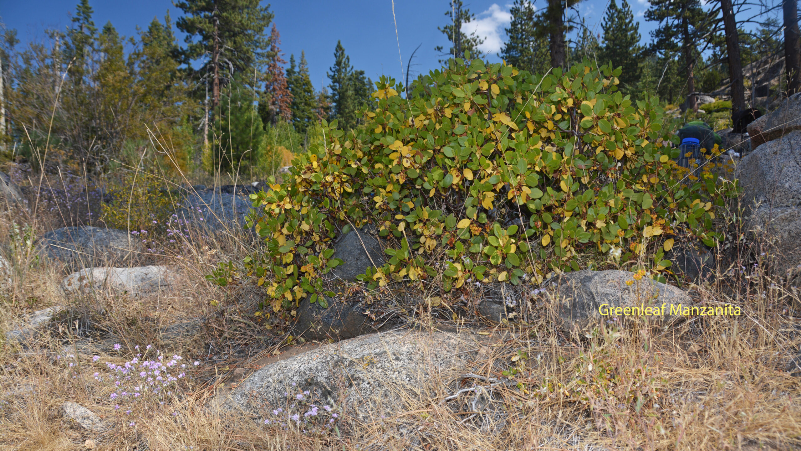
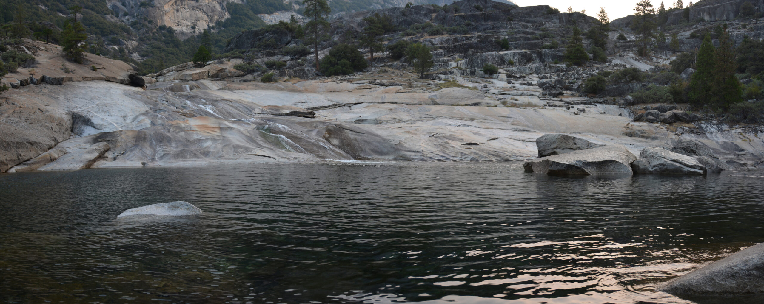
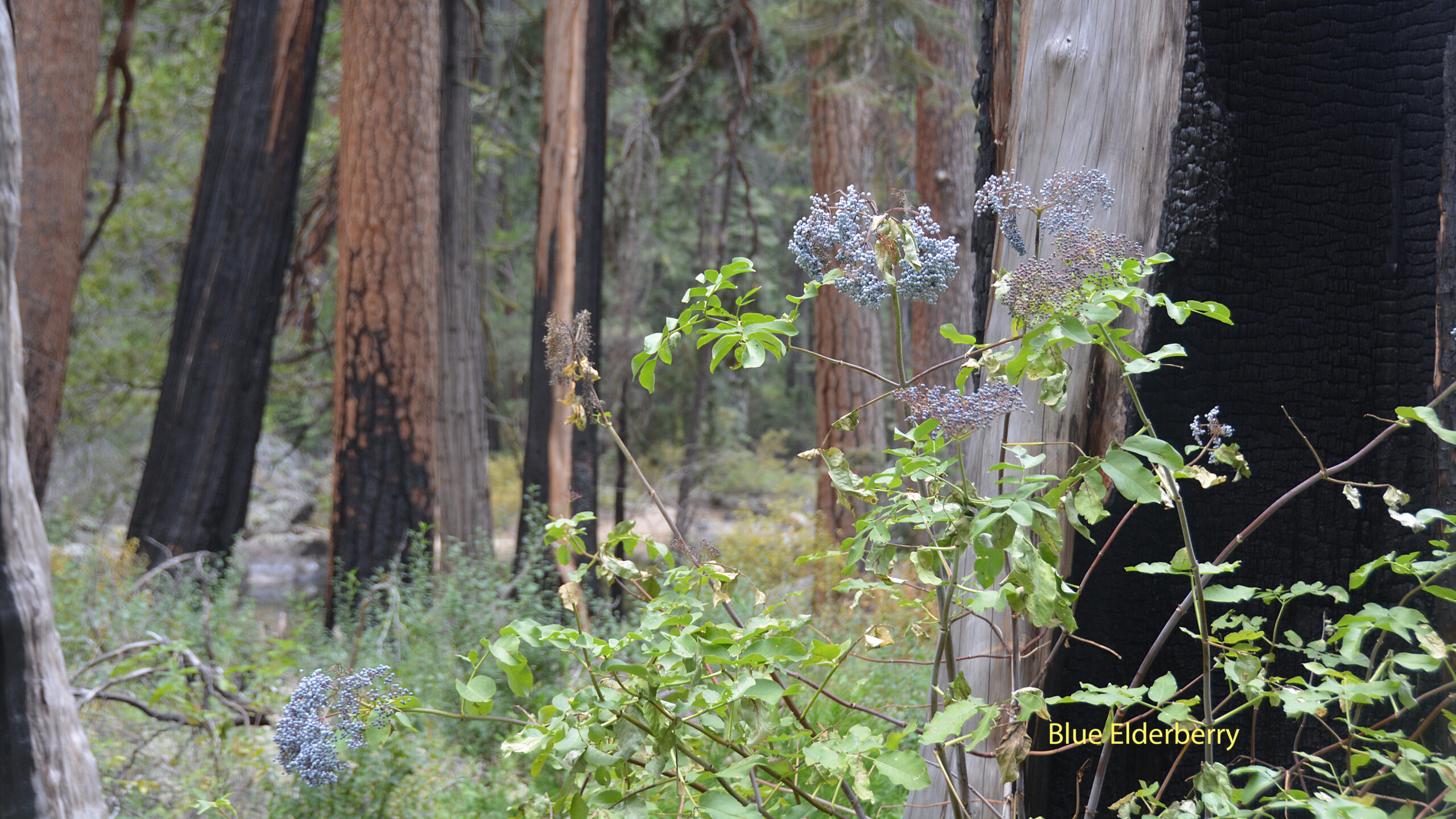
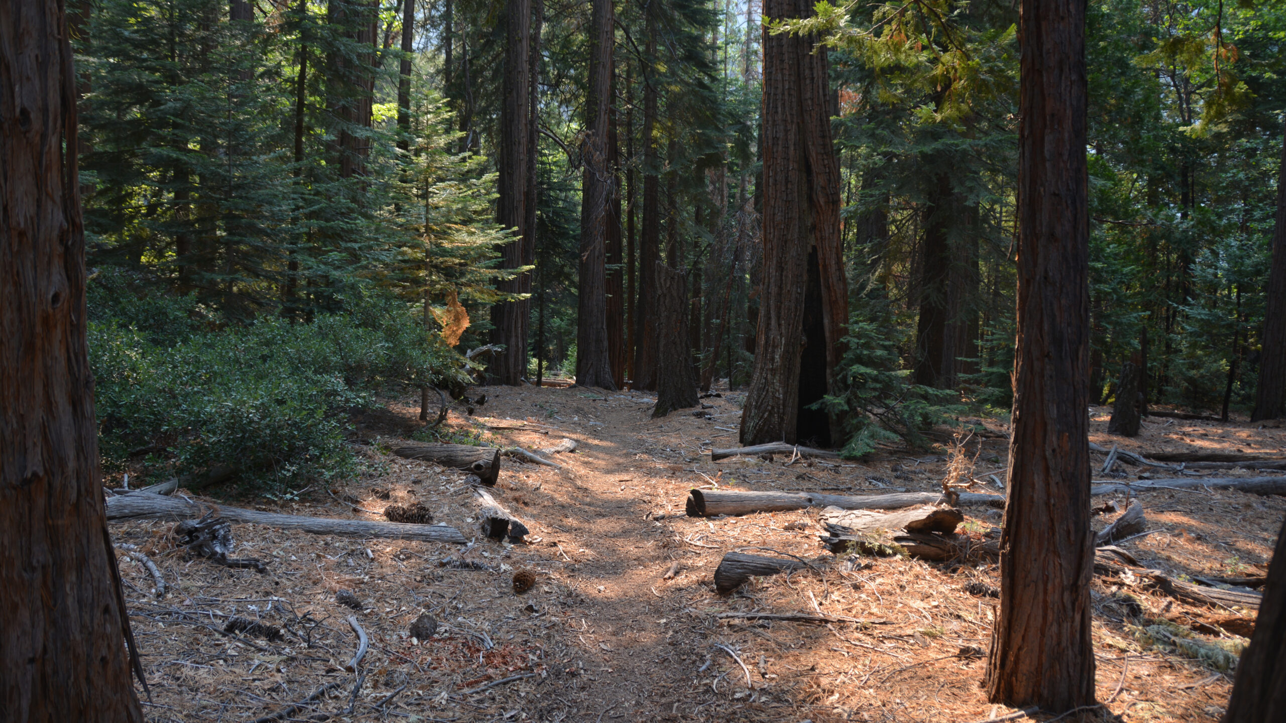
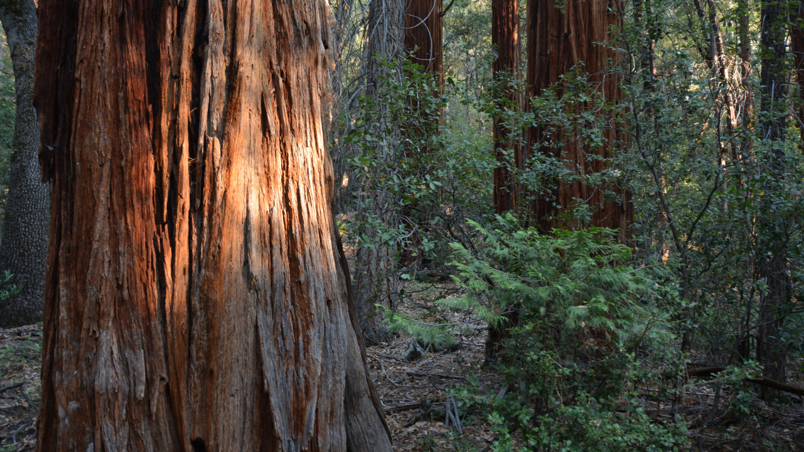
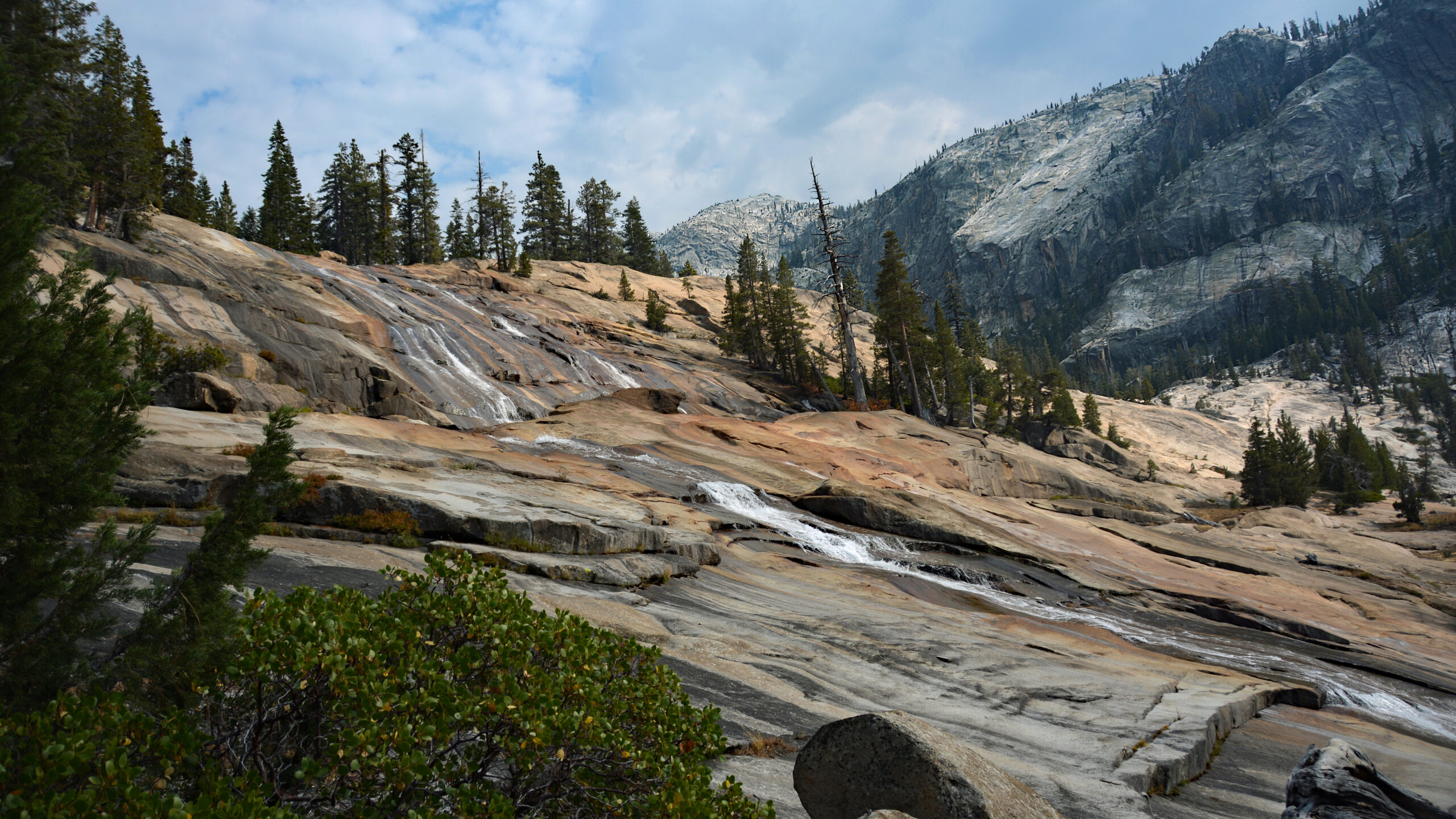
In any case, it was a wonderful hike beneath the 2500ft walls of granite. We traversed up Tuolumne through groves of manzanita, sequoia and an assortment of wildflowers. Towards the end of the day we started our climb from the valley floor up the cascades of waterfalls. There’s actually more waterfalls than formally named. However in the first 3.5 miles and 1400ft of climbing, you’ll pass Waterwheel, LeConte and California Falls. We camped just above California Falls.
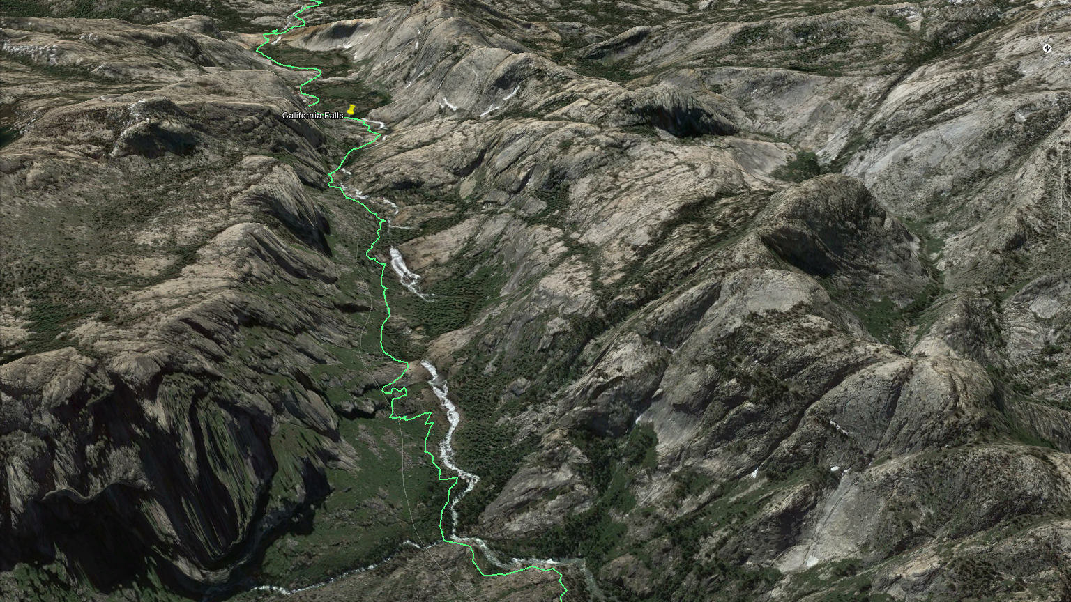
Day 6: California Falls to Tuolumne Meadows It was just about 7 miles from our campsite to the trail exit. Those 7 miles included the beautiful views overlooking Glen Aulin, the White Cascade and Tuolumne waterfalls and many spectacular settings along the Tuolumne River. On our sixth day, there was a natural urge to get back, as we had logistical constraints of returning to the Bay Area that day. However, this segment is spectacular and deserves it’s own time to enjoy.
After our hike, I was more convinced that the JMT should have carried on to Twin Lakes instead turning into Yosemite Valley. This trail offered experiences that few places could match. I highly recommend it.